Sedbergh and the Quakers
Recommended by

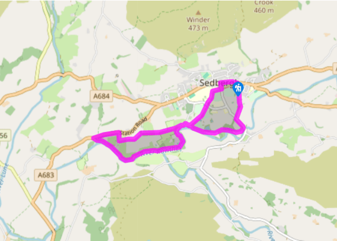
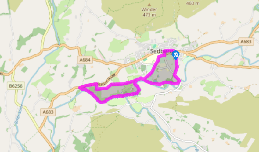
Walk directions
From the car park, turn right along main street. At the junction with the main road turn left. At the churchyard, turn right, signed 'Cattle Market or Busk Lane'. At the next signpost, go left behind the pavilion, then straight ahead through two kissing gates to a road. Cross and go down a track beside playing fields. Go through a kissing gate near a barn and follow a green path to pass Birks House.
Go through a kissing gate to a lane and turn left. Pass several houses then go right, through a metal kissing gate, and bear half left to a waymarker, roughly following the Brigflatts sign. Follow the wall and then cross a field to a small bridge under the old railway. Drop down and bear slightly left on a path across fields to a gate onto a quiet lane opposite the Quaker Burial Ground.
View all directions
Additional information
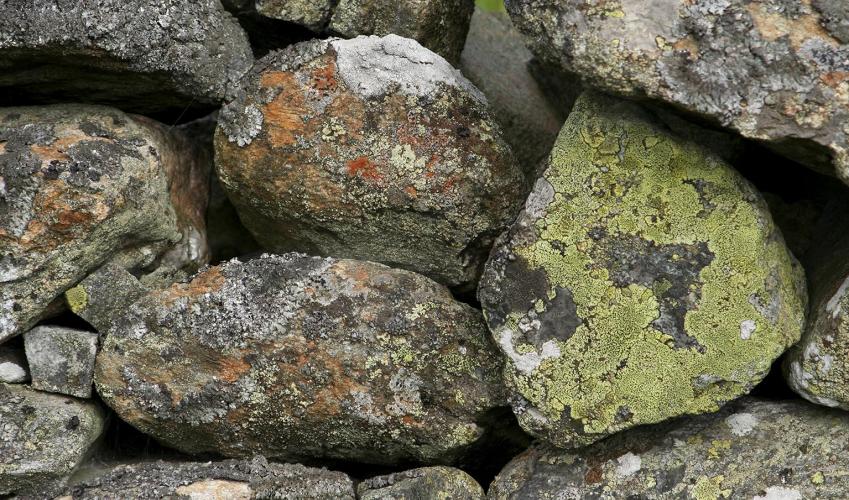
Terrain
- Mostly on field and riverside paths, 7 stiles
Landscape
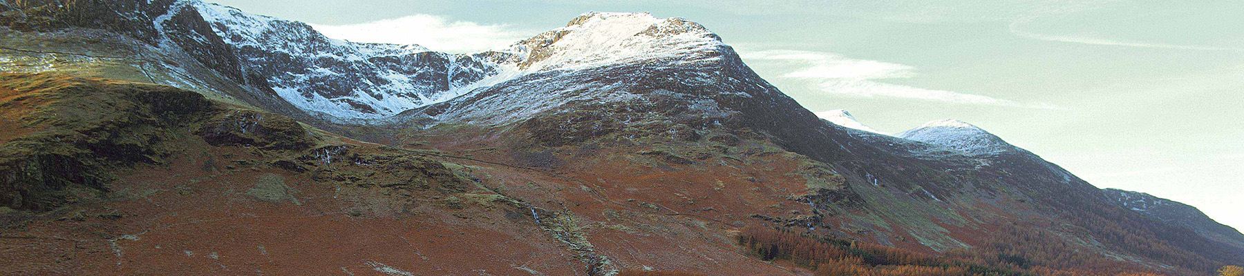
- Playing fields give way to rich farmland, dominated by fells
Dog friendliness
- Keep dogs on lead when animals in fields
Parking
- Pay-and-display car park on Joss Lane, off
Sedergh’s Main Street (which is one way from
the west)
Toilets en route
- By car park
About the walk
The solid, stone-built town of Sedbergh, one of the largest settlements in the Yorkshire Dales National Park, was once in the West Riding of Yorkshire, but has been part of Cumbria since 1974. Two things – the Howgill Fells, especially the southernmost peaks of Winder and Crook, and Sedbergh...
Read more

Been on this walk?
Send us photos or a comment about this route. Or recommend a route of your own.

Walking in Safety
Read our tips to look after yourself and the environment when following this walk.

Get an AA guide
Explore our range of ‘50 Walks in’ guides - they’re the ideal companion for a ramble.
Been on this walk?
Send us photos or a comment about this route. Or recommend a route of your own.
Walking in Safety
Read our tips to look after yourself and the environment when following this walk.
Get an AA guide
Explore our range of ‘50 Walks in’ guides - they’re the ideal companion for a ramble.
About the area
Cumbria's rugged yet beautiful landscape is best known for the Lake District National Park that sits within its boundaries. It’s famous for Lake Windermere, England’s largest lake, and Derwent Water, ‘Queen of the English Lakes', but other lesser-known areas in the south, such as the Lune Valley and the coastal towns, are secret gems of wide cobbled streets and rolling hills.
Nearby places to stay
View all (8)


Nearby places to stay
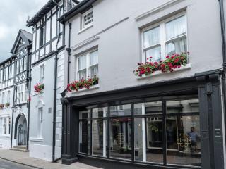
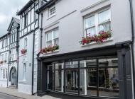
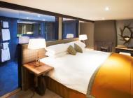
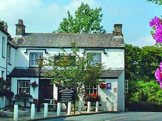
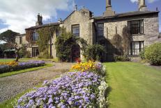
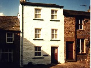
The Black Bull
The Black Bull, a former 17th century coaching inn, has been lovingly and sympathetically restored. Each of the guest rooms is named after a local fell, referencing the inn's deep-seate...

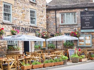
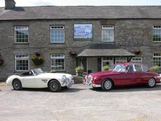
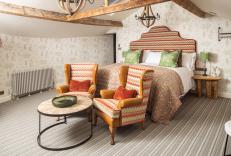
The Dalesman Country Inn
The Dalesman Country Inn is a 16th-century coaching inn offering modern comfort without losing its charm. Set on Sedbergh's main street, it's an ideal base for hiking and visiting the L...
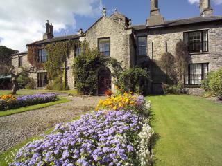
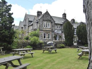
Thorns Hall
An intimate, stone-built manor house dating from 1535, Thorns Hall delivers historic charm with its oak-panelled public rooms, open fireplaces and cobbled courtyard. After a day’s hikin...
Bluebell Cottage
Goodies Farmhouse is gorgeous! Sleeping up to 6 guests, the idyllic, peaceful setting creates a haven of calm and tranquillity. The beautiful interior is simply stunning and the views a...
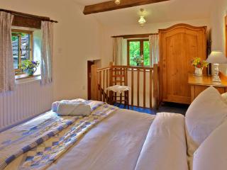
The Old Craft Barn
The Old Craft Barn is located in Dentdale on the western edge of the Yorkshire Dales, and is ideal for visiting both the Dales and the Lake District. There are three individually design...
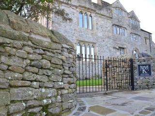
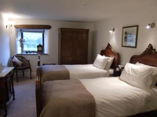
The Pele Tower
Enjoy a historic stay in Killington.Immerse yourself in this beautifully restored historic building whilst enjoying 20th century comfort.The Pele Tower is in the Yorkshire Dales Nationa...
The Pele Tower
Enjoy a historic stay in Killington.Immerse yourself in this beautifully restored historic building whilst enjoying 20th century comfort.The Pele Tower is in the Yorkshire Dales Nationa...
Fountain Cottage
Awaiting description...
Places to eat nearby View all