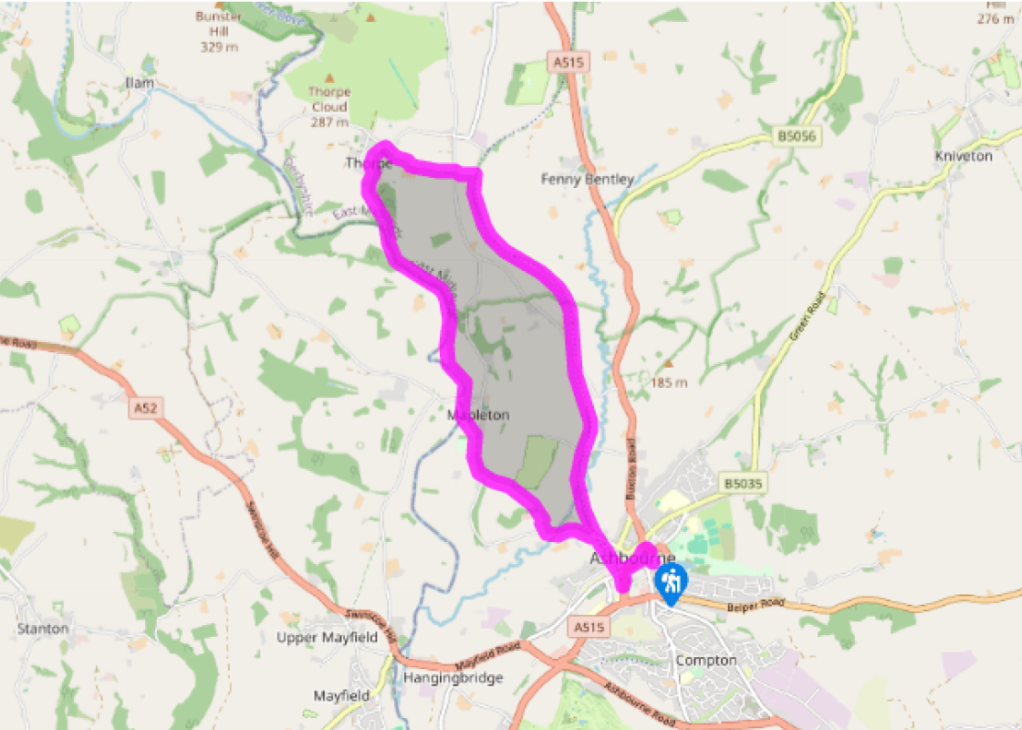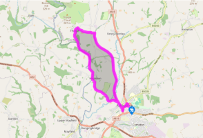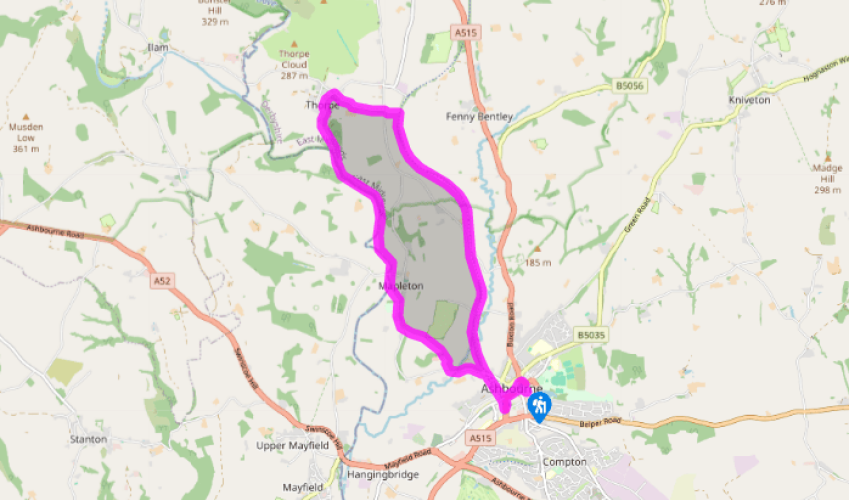
A loop from Ashbourne
From the corner of the car park by the public toilets turn right for the walkway through to the town centre shops. At the end turn right, then left at the junction to reach Market Place. Walk down past Ye Olde Vaults pub and right on to the road at the bottom. Go past the traffic lights on to Church Street and turn left on to Station Road.
In 100yds (91m) turn right to reach the southern terminus of the Tissington Trail, by the leisure centre car park. Turn right again and walk the trail through the short tunnel under the town and out past the cycle hire centre. Continue on the trail northwards for just over 2 miles (3.2km).

Been on this walk?
Send us photos or a comment about this route. Or recommend a route of your own.

Walking in Safety
Read our tips to look after yourself and the environment when following this walk.

Get an AA guide
Explore our range of ‘50 Walks in’ guides - they’re the ideal companion for a ramble.
Been on this walk?
Send us photos or a comment about this route. Or recommend a route of your own.
Walking in Safety
Read our tips to look after yourself and the environment when following this walk.
Get an AA guide
Explore our range of ‘50 Walks in’ guides - they’re the ideal companion for a ramble.
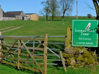
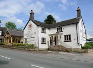
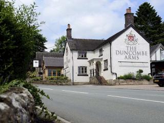
Nearby places to stay
View all (8)