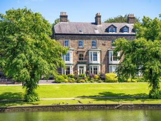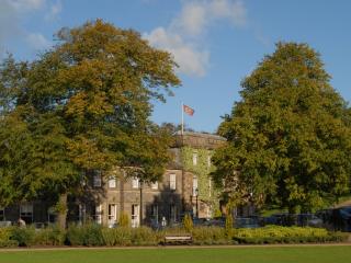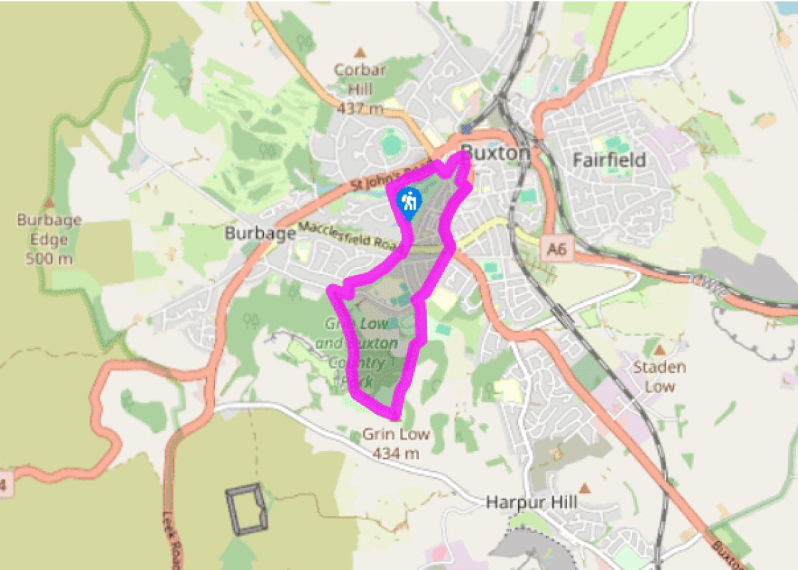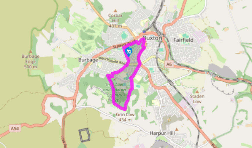
Around Buxton
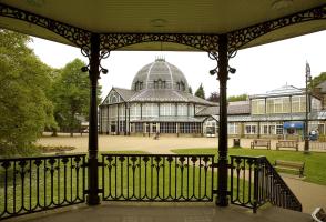
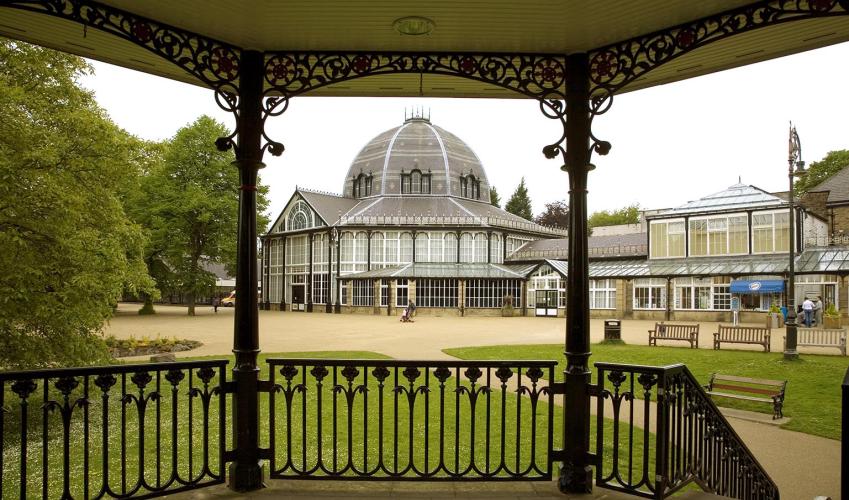
From the car park walk eastwards along the wide terrace, past the indoor swimming pool and between the Pavilion and the gardens, until you come to the Opera House at the far end. Turn right and go across to the Old Hall Hotel, then left into The Crescent. Walk past St Anne’s Well on the right and just beyond the former Pump Room go right for the surfaced path up the parkland of The Slopes. Cut through to the left of the Town Hall to reach the Market Place.
Go ahead through the wide Market Place and on along the High Street of Higher Buxton. St Anne’s Church is off to the right. Drop down to a five-way junction with traffic lights, where you turn half right along Green Lane as far as its junction with College Road.

Been on this walk?
Send us photos or a comment about this route. Or recommend a route of your own.

Walking in Safety
Read our tips to look after yourself and the environment when following this walk.

Get an AA guide
Explore our range of ‘50 Walks in’ guides - they’re the ideal companion for a ramble.
Been on this walk?
Send us photos or a comment about this route. Or recommend a route of your own.
Walking in Safety
Read our tips to look after yourself and the environment when following this walk.
Get an AA guide
Explore our range of ‘50 Walks in’ guides - they’re the ideal companion for a ramble.
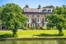
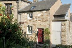
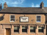
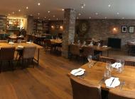
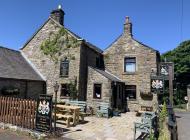
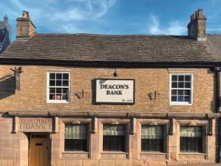
Nearby places to stay
View all (8)