Around Carsington and Brassington
Recommended by

"Across limestone pastures in the footsteps of lead miners."
Walk directions
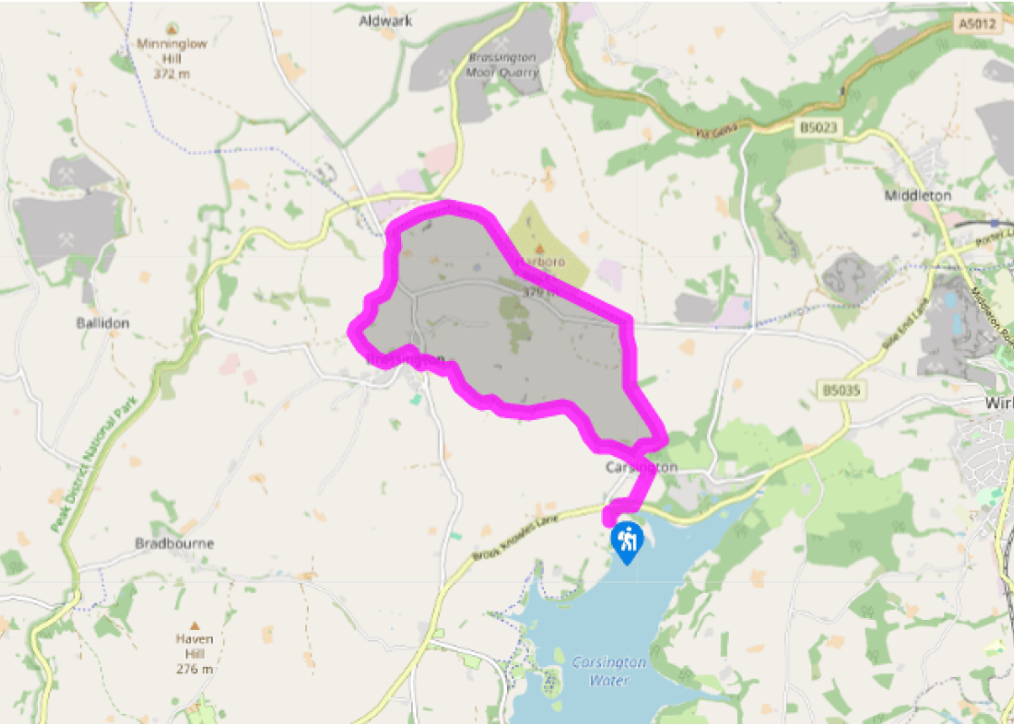
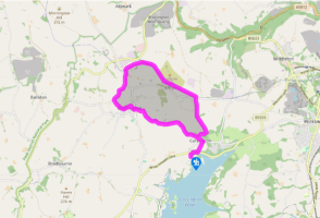
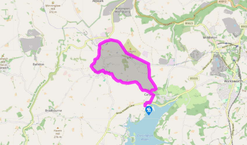
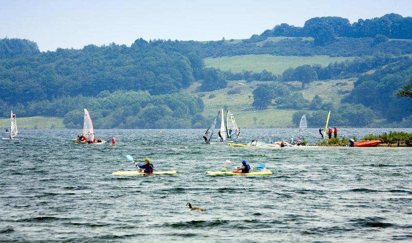
Take the ‘Carsington Water Circular Route’ path northwards. Passing two bird hide paths, it winds through scrub woods and rounds a finger of the lake before crossing the B5035 road. Continue up the far side, meeting a lane by Wash Farm then entering the village by The Miners Arms.
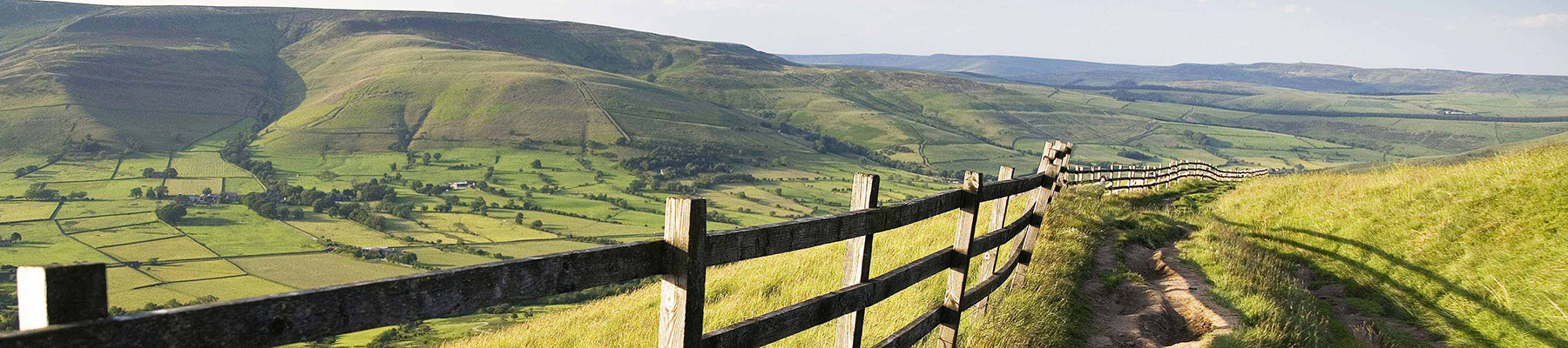
Head left through the village to a sharp bend left. Now go straight ahead along a narrow lane passing several cottages. Beyond a gate the lane becomes a fine green track beneath the limestone-studded slopes of Carsington Pasture.
View all directions
Additional information
Terrain
- Hilly field paths, some hard to follow, and railway trackbed, many stiles
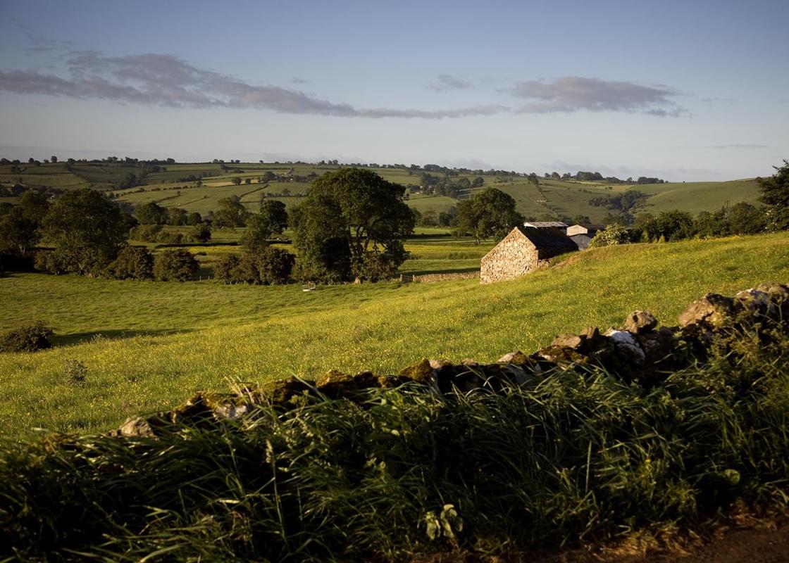
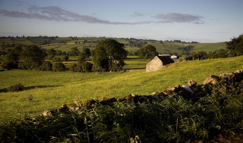
Landscape
- Limestone hills
Dog friendliness
- Dogs on lead over farmland, under close control everywhere else; avoid long stretchy leads on High Peak Trail to avoid tripping other users
Parking
- Sheepwash pay car park by Carsington Reservoir
Toilets en route
- None on route
About the walk
‘He was as lean as a Skeleton, pale as a dead corpse, his hair and beard a deep black, his flesh lank, and, as we thought, something of the colour of lead itself.’ So wrote Daniel Defoe on seeing a lead miner, who had been living in a cave at Harboro Rocks. In times past Carsington and Brassington...
Read more

Been on this walk?
Send us photos or a comment about this route. Or recommend a route of your own.

Walking in Safety
Read our tips to look after yourself and the environment when following this walk.

Get an AA guide
Explore our range of ‘50 Walks in’ guides - they’re the ideal companion for a ramble.
Been on this walk?
Send us photos or a comment about this route. Or recommend a route of your own.
Walking in Safety
Read our tips to look after yourself and the environment when following this walk.
Get an AA guide
Explore our range of ‘50 Walks in’ guides - they’re the ideal companion for a ramble.
About the area
The natural features of this central English county range from the modest heights of the Peak District National Park, where Kinder Scout stands at 2,088 ft (636 m), to the depths of its remarkable underground caverns, floodlit to reveal exquisite Blue John stone. Walkers and cyclists will enjoy the High Peak Trail which extends from the Derwent Valley to the limestone plateau near Buxton, and for many, the spectacular scenery is what draws them to the area.
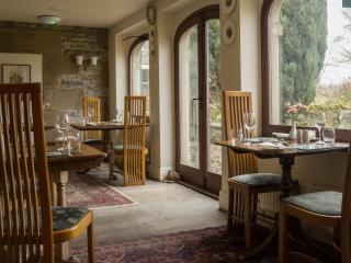
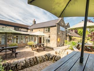
Nearby places to stay
View all (8)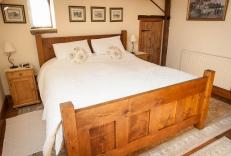


Nearby places to stay

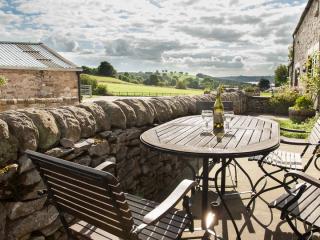
Weathericks Cottage
Awaiting description...
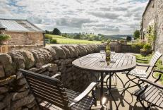
Weathericks and Bradstone
Set on the edge of the Peak District, Bradstones and Weathericks are two beautifully presented, self-catering cottages. Overlooking the historic market town of Wirksworth, the surroundi...
Bradstone Cottage
Awaiting description...
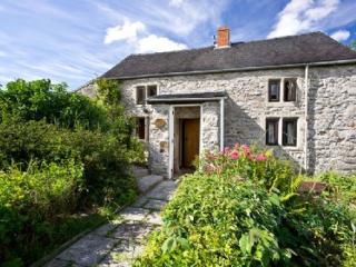
Ivy Cottage
A detached Grade II-listed house in the rural village of Aldwark, Ivy Cottage is in the heart of the Peak District. Packed with character, the cottage is surrounded by open countryside ...
Ivy Cottage
A detached Grade II-listed house in the rural village of Aldwark, Ivy Cottage is in the heart of the Peak District. Packed with character, the cottage is surrounded by open countryside ...
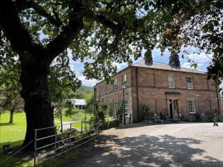
Oakhill
Oakhill is a beautiful Georgian-style, Grade II listed house built by the Arkwright family in the mid-19th Century with many original features remaining. The family-owned boutique hotel...
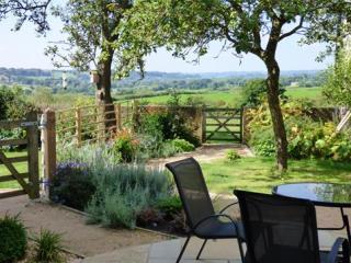
Parkfields Stable
Experience the best of both worlds here – Parkfields Stable is surrounded by gentle, rolling landscape yet is just two miles from the vibrant market town of Ashbourne. It is a warm, we...
Parkfields Stable
Experience the best of both worlds here – Parkfields Stable is surrounded by gentle, rolling landscape yet is just two miles from the vibrant market town of Ashbourne. It is a warm, we...
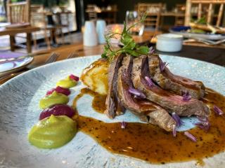
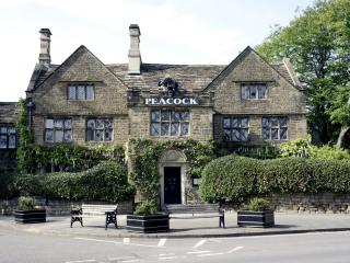
Places to eat nearby View all