Additional information
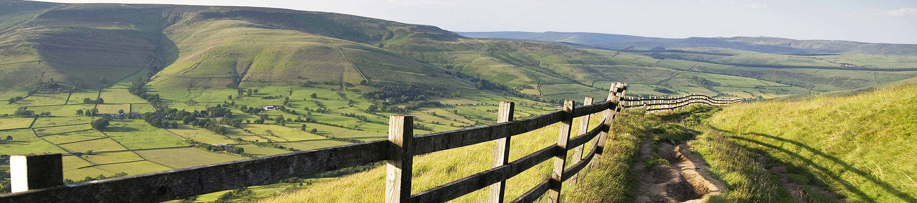
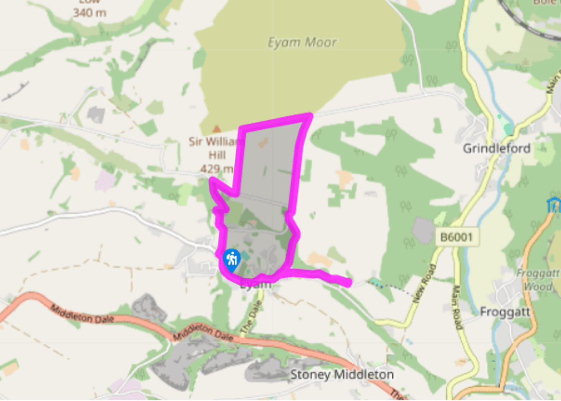
Terrain
- Pavements and fields, plus woodland tracks that could be slippery after rain; several stiles
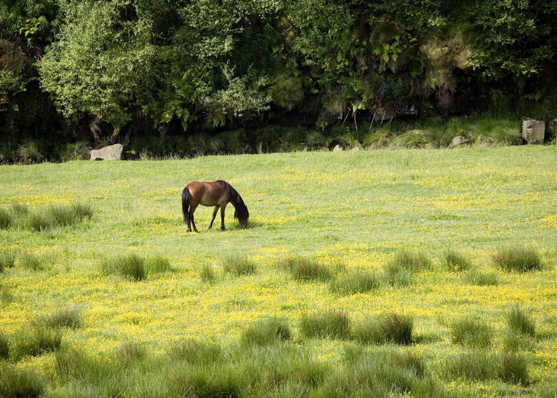
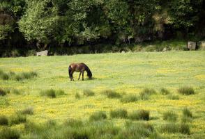
Landscape
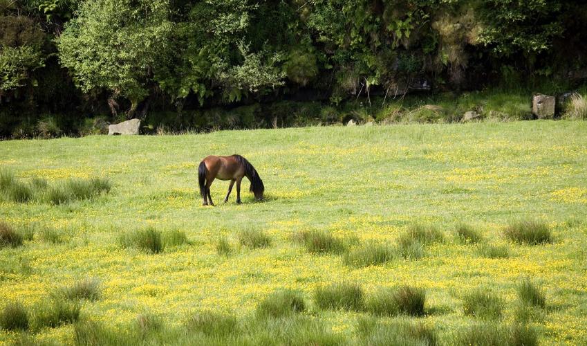
- Village scene, upland pasture and woodland
Dog friendliness
- On lead on streets, off lead in woods and on walled lanes
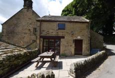
Parking
- Peak Parish Council car park, off Hawkhill Road
Toilets en route
- Near car park
About the walk
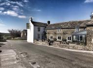
As historical villages come, they don’t get much better than Eyam (pronounced ‘eem’). It’s best known as the community that went into a self-imposed quarantine when the plague arrived, desperately trying to prevent it from spreading throughout Derbyshire. It came to Eyam via a batch of infected... cloth from London in summer 1665, and soon the local tailor’s family was struck down. Plague quickly spread to the entire community and when it was over, 14 months later, it had claimed the lives of 260 villagers out of a population of around 800. Drastic action Under the leadership of Rector William Mompesson, villagers agreed a self-imposed exile to stop the plague spreading beyond Eyam. Supplies were left on the edge of the village, and families agreed to swiftly bury their own dead at or close to their homes. Today you can see many of the sites associated with this time, including cottages and houses with plaques recording who died where. You can also extend the walk east of The Square by 0.5 miles (800m) to visit the Riley Graves, a tragic and touching spot where a mother buried her whole family. However, it would be wrong to think that Eyam’s history began and ended with the plague. Early settlers were attracted by the plentiful supply of water, and in Eyam churchyard, for instance, there’s a Saxon preaching cross from the 8th century. Since then, and in common with many other Peak District communities, farming and mining have been the two main occupations. Lead, barytes and fluorspar have all been all extracted at various times, and you can still see a square stone chimney among the fields to the north of the village, visited as part of this walk. Historic buildings Eyam also has its fair share of interesting and beautiful old buildings. Eyam Hall, which you pass on Church Street, is an imposing Jacobean manor house whose farm buildings have been converted into a craft centre and is now managed by the National Trust. In contrast, only a few paces along the street, is a simple terrace row of cottages, including the Plague Cottage where the ‘visitation’ (as it was called) first struck in Eyam. Although there are plenty of interesting interpretation boards dotted around the village, your walk should either begin or end with a visit to Eyam Museum, which chronicles the entire history of the village. Its display includes a collection of clay tobacco pipes that once belonged to local lead miners, as well as historical postcards, legal documents and various artefacts. But it’s the plague display that is probably the most arresting, if at times gruesome, as it shows how the bubonic plague engulfed the small village community, what remedies people tried to counter it, and the dreadful symptoms of the disease. The museum is open Tuesday–Sunday, March–November. For a more detailed guide to the village buy a copy of The Eyam Map, produced by villagers as a special Millennium project and full of illustrated detail.
Read more
Derbyshire
The natural features of this central English county range from the modest heights of the Peak District National Park, where Kinder Scout stands at 2,088 ft (636 m), to the depths of its remarkable underground caverns, floodlit to reveal exquisite Blue John stone. Walkers and cyclists will enjoy the High Peak Trail which extends from the Derwent Valley to the limestone plateau near Buxton, and for many, the spectacular scenery is what draws them to the area.