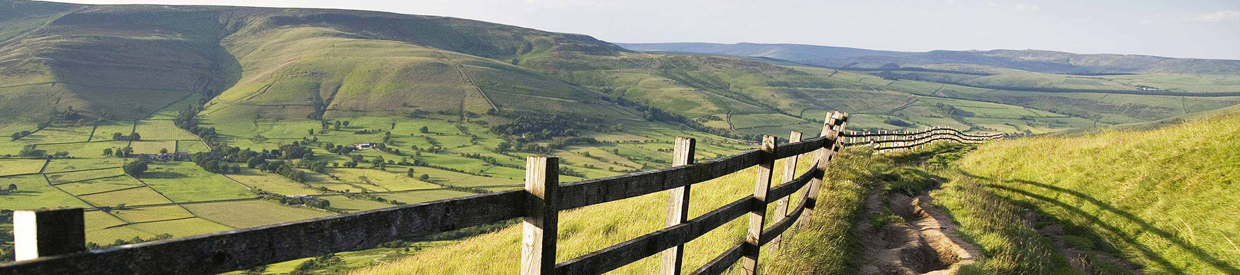
Burbage Edge and Carl Wark
Recommended by

Walk directions
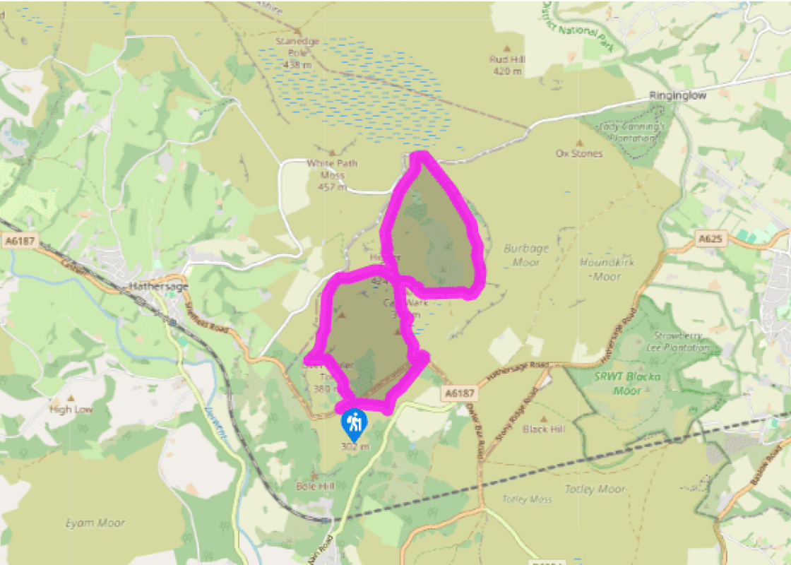
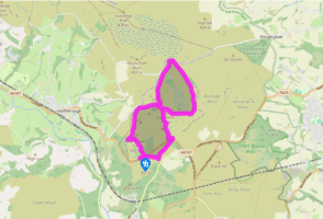
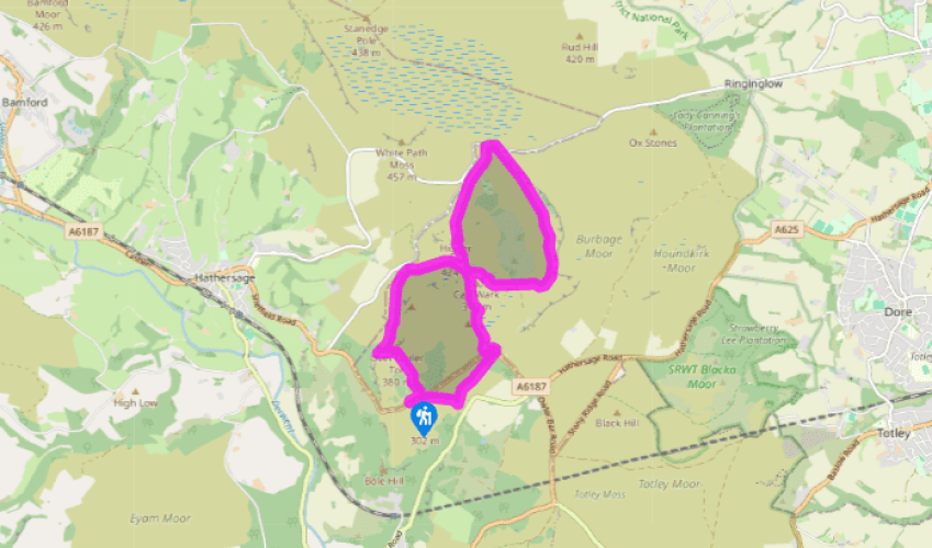
Leave the car park through a kissing gate opposite the entrance, rising towards birch wood. Walk on, veering right and clambering up rocks to a crossing path. Go left, with the prominent outcrop of Mother Cap soon appearing. Pass to its left and continue towards Over Owler Tor. Just before
the outcrop, head down left on a narrower path, crossing the heather to meet a path beside a fence.
Turn right along the path, which later leaves the fence and continues straight ahead to contour the hillside towards distant Higger Tor, eventually reaching a wall on the left. Where that turns away, fork right and then, passing a clump of trees, go right again on a fainter path. Walk on, joining another wall on your right. The path fragments to avoid boggy patches, but keep heading to the left corner of Carl Wark, now ahead.
View all directions
Additional information
Terrain
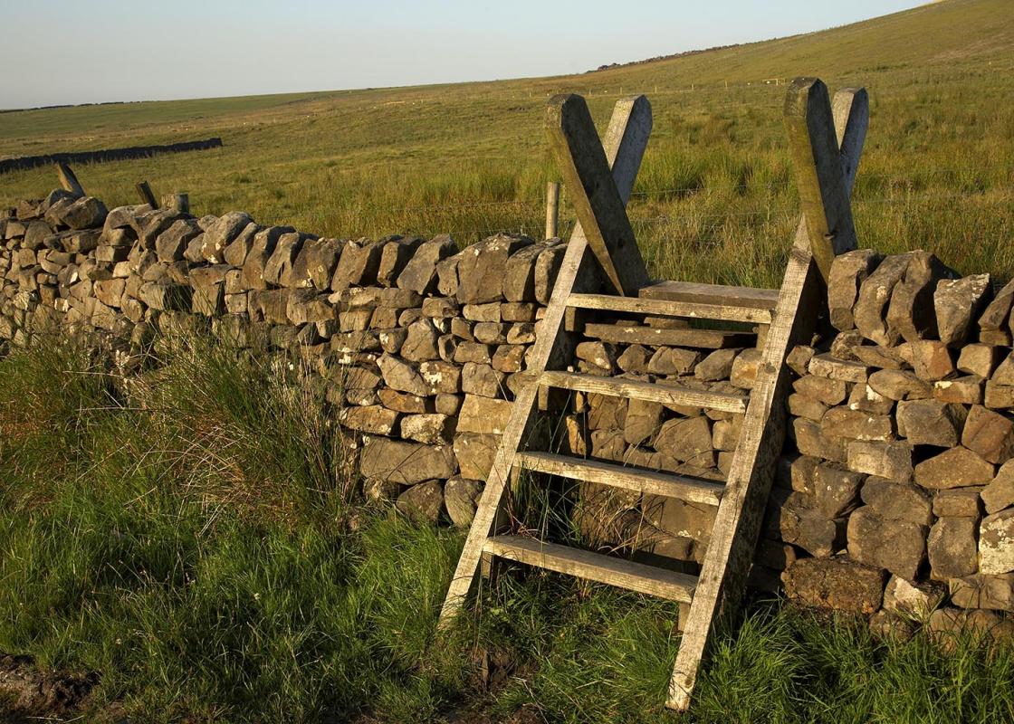
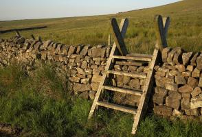
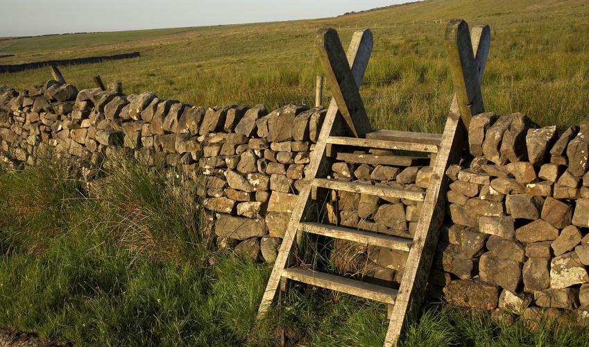
- Generally good paths, although moorland path below Carl Wark may be indistinct and boggy in wet weather, no stiles
Landscape
- Millstone tors and quarries, heather moors and woodland
Dog friendliness
- Keep on lead near sheep, particularly at lambing time and from March to July
Parking
- Surprise View pay car park on A6187 east of Hathersage
Toilets en route
- None on route
About the walk
On the moors beyond Hathersage, history and geology combine to produce a fascinating panorama. The main stone bed from which this area is formed is Chatsworth grit, a coarse sandstone with scattered pebbles, that is extremely resistant to erosion. This was once much valued as a building material...
Read more

Been on this walk?
Send us photos or a comment about this route. Or recommend a route of your own.

Walking in Safety
Read our tips to look after yourself and the environment when following this walk.

Get an AA guide
Explore our range of ‘50 Walks in’ guides - they’re the ideal companion for a ramble.
Been on this walk?
Send us photos or a comment about this route. Or recommend a route of your own.
Walking in Safety
Read our tips to look after yourself and the environment when following this walk.
Get an AA guide
Explore our range of ‘50 Walks in’ guides - they’re the ideal companion for a ramble.
About the area
The natural features of this central English county range from the modest heights of the Peak District National Park, where Kinder Scout stands at 2,088 ft (636 m), to the depths of its remarkable underground caverns, floodlit to reveal exquisite Blue John stone. Walkers and cyclists will enjoy the High Peak Trail which extends from the Derwent Valley to the limestone plateau near Buxton, and for many, the spectacular scenery is what draws them to the area.
Nearby places to stay
View all (8)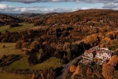

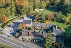


Nearby places to stay
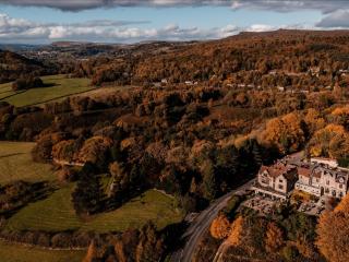
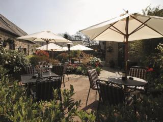
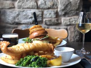
The Maynard
Set in the heart of the Peak District, The Maynard is a beautiful countryside hotel, bar and restaurant offering a perfect blend of comfort, style, and culinary excellence. Famous for h...
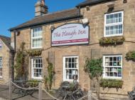
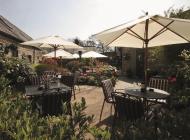
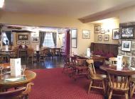
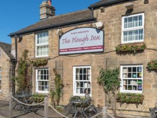
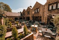
The Plough Inn
This delightful 16th-century inn with a newly revamped beer garden, which includes a "Horsebox Bar" has an idyllic location by the River Derwent. A selection of real ales and award-winn...
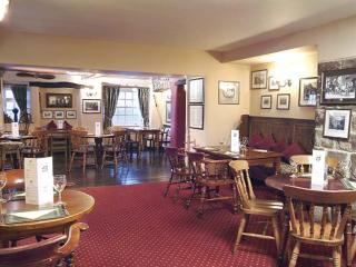
The George in Hathersage
Nestled in the heart of the picturesque Peak District, The George Hathersage is a historic 500-year-old coaching inn, once frequented by Charlotte Brontë. The inn features 24 beautifull...
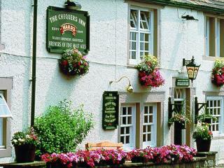
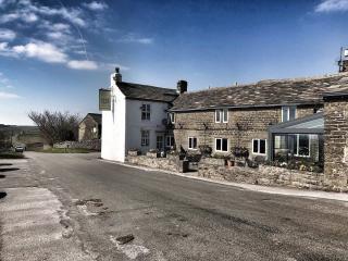
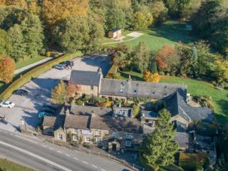
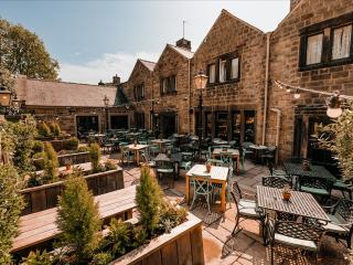
The Chequers Inn
The Chequers Inn is a charming 16th-century inn, offering seven well-appointed guest rooms nestled beneath the iconic Froggatt Edge in the heart of the Derbyshire countryside. Hearty, s...
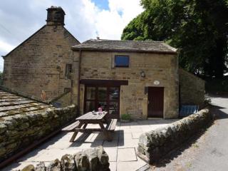
The Trap House
A mile from this cosy hideaway is Eyam, where in 1665 over 250 villagers died from the plague, following the use of contaminated cloth. No risk today, of course, but you can read all ab...
The Trap House
A mile from this cosy hideaway is Eyam, where in 1665 over 250 villagers died from the plague, following the use of contaminated cloth. No risk today, of course, but you can read all ab...
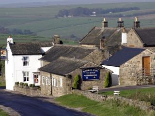
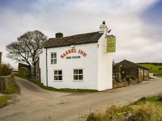
Barrel Inn
Perched some 1,300 feet above sea level and reputedly the highest pub in Derbyshire, the Barrel Inn dates back to 1597 and offers a warm, welcoming base for exploring the surrounding co...
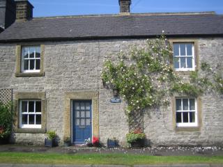
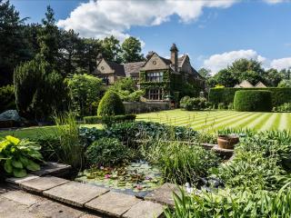
Croft View Cottage
Croft View Cottage nestles in the picturesque Peak District village of Foolow, a central location close to the historical village of Eyam, ideally positioned for visiting Chatsworth. Id...
Places to eat nearby View all