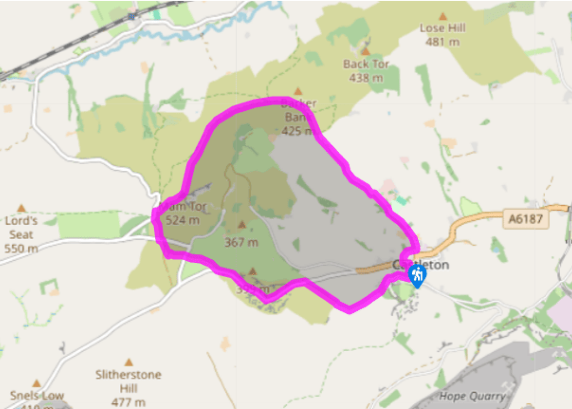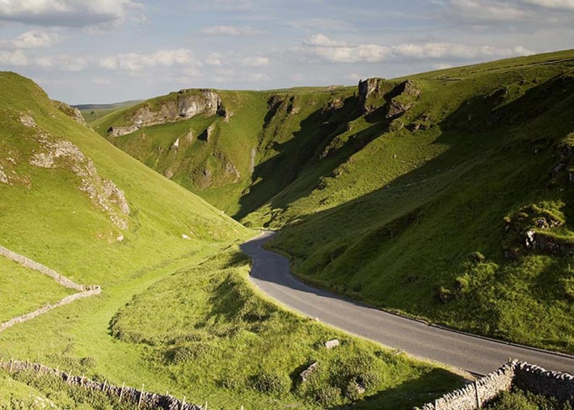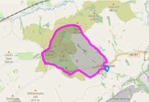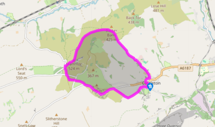
Castleton to Mam Tor
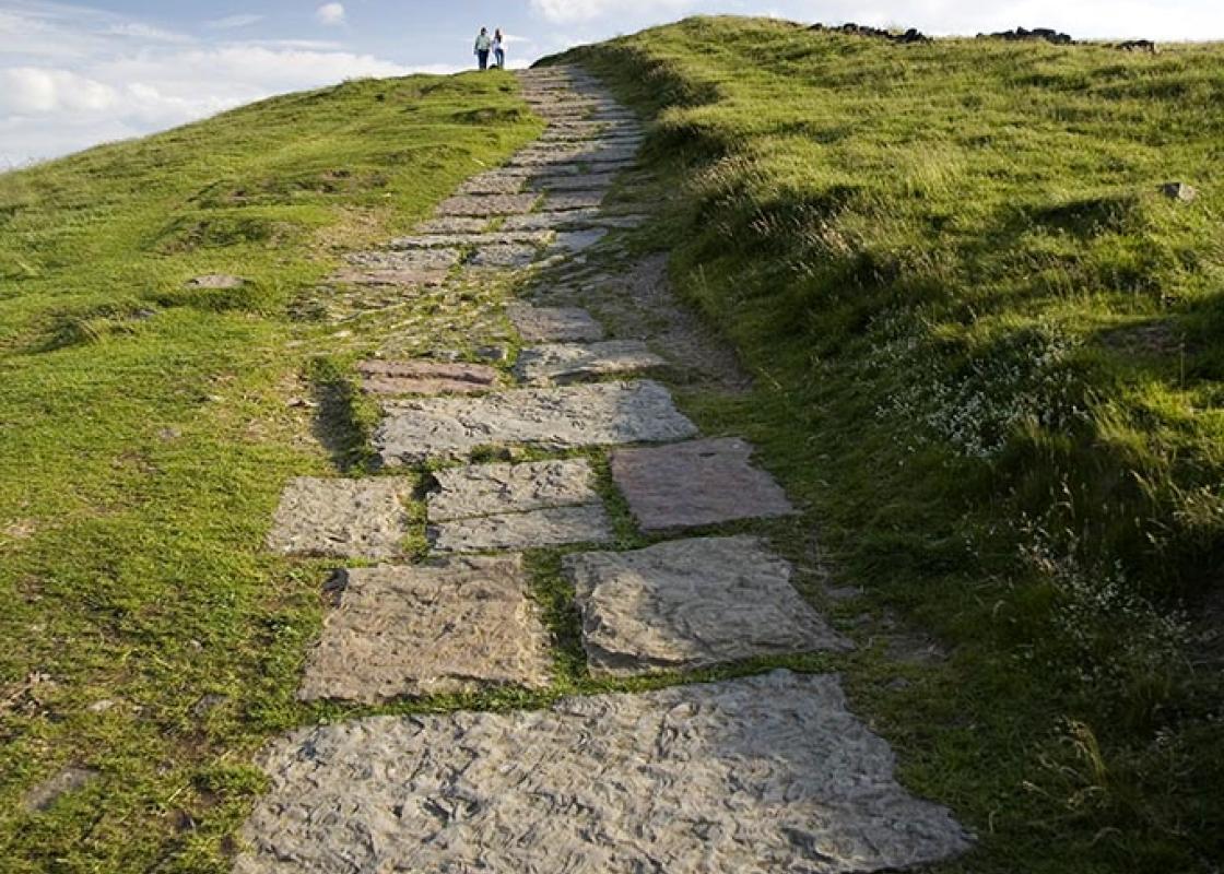
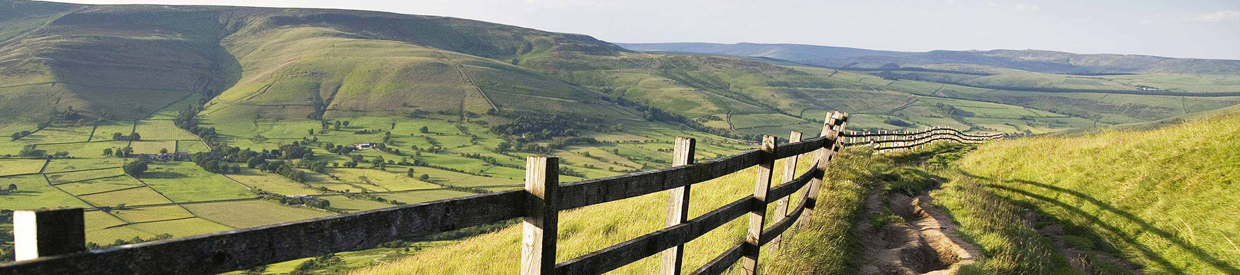
Walk to the back of the car park and veer right on a surfaced path beside the stream. At the far end turn left along Millbridge, which becomes Hollowford Road. Ignore the right turn to an outdoor centre and continue on the lane northwestwards out among fields. When it turns sharply left and becomes an unsurfaced track to Woodseats Farm go straight ahead on to a sunken and stony path.
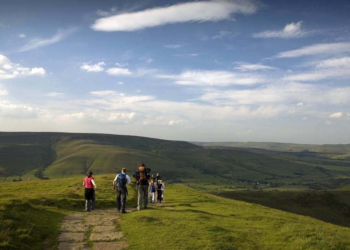
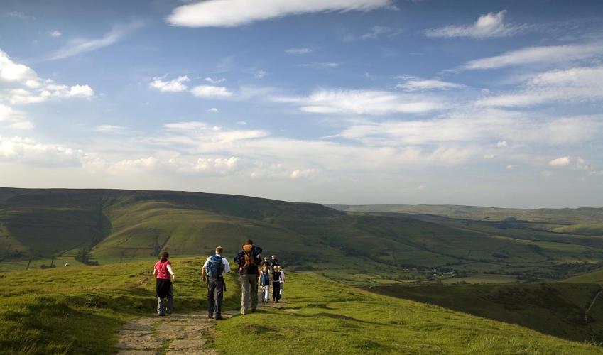
Follow this steadily uphill, via a gate on the edge of access land, with Mam Tor over to your left. The ground becomes steeper and more rugged and finally you reach the top of the ridge at Hollins Cross.

Been on this walk?
Send us photos or a comment about this route. Or recommend a route of your own.

Walking in Safety
Read our tips to look after yourself and the environment when following this walk.

Get an AA guide
Explore our range of ‘50 Walks in’ guides - they’re the ideal companion for a ramble.
Been on this walk?
Send us photos or a comment about this route. Or recommend a route of your own.
Walking in Safety
Read our tips to look after yourself and the environment when following this walk.
Get an AA guide
Explore our range of ‘50 Walks in’ guides - they’re the ideal companion for a ramble.
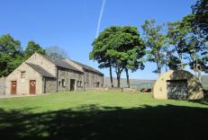
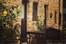
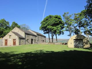
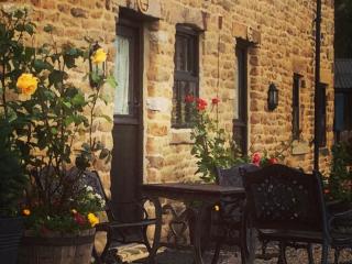
Nearby places to stay
View all (8)