"Three quiet, tree-lined reservoirs are secreted away between the Chatsworth moors and Chesterfield."
Walk directions
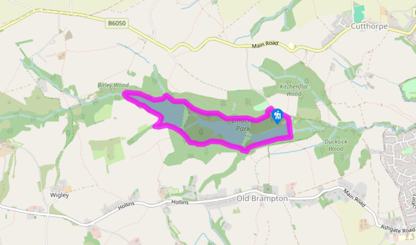
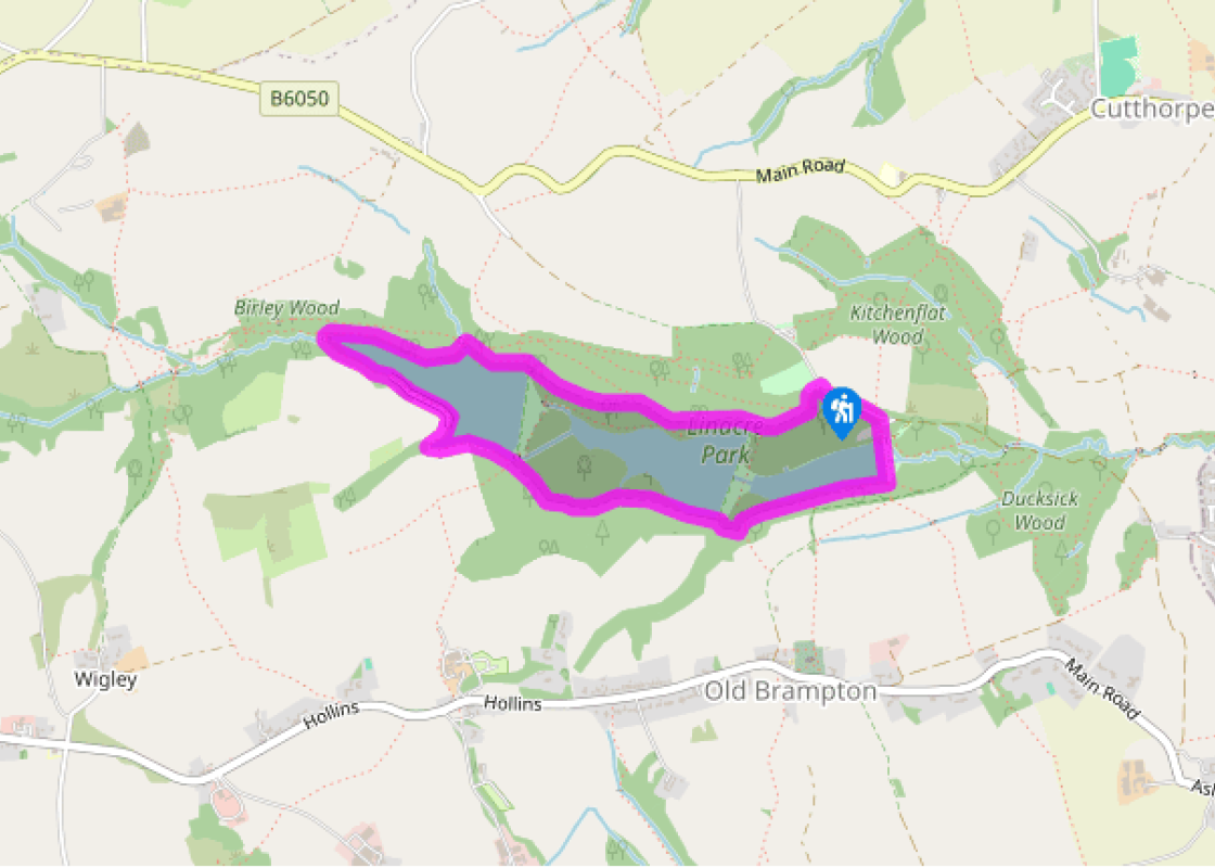
From the bottom of the lowest car park go down the steps into the woods. After about 100yds (91m) turn right along a waymarked bridleway. Approaching the dam of the middle reservoir fork right on the wide track and proceed westwards, with the reservoir through the trees on your left.
When you reach the dam of the upper reservoir stay on the main track as it swings right, up a few steps, and on along the wide wooded track above the shoreline. Dropping down to cross an inlet, go across the lower of the two footbridges for a concessionary path through woodland above the water.
At the end of the reservoir turn left onto a wooden footbridge over Birley Brook. Continue on the waterside route around the reservoir’s northern and western shores, including a section of boardwalk and another bridge and steps. After reaching an area of pines you come to a junction of routes at the end of the dam of the top reservoir.
Keep to the main route as it veers right into the woods, away from the reservoirs. Follow the wide and winding track through the trees until finally you drop down and arrive at the end of the dam of the middle reservoir.
Go right on the main route, which swings into woodland. Ignore paths off left and right and maintain your general height and direction above the shoreline among mature beech trees. When you reach a junction of routes at the end of the lower reservoir go left, across the dam next to the wall.
At the far side of the dam go up some steps (or up the sloping drive to the right, which doubles back) and veer right to the toilets and Ranger’s office. Turn left on to the lane and climb back up to the car park.
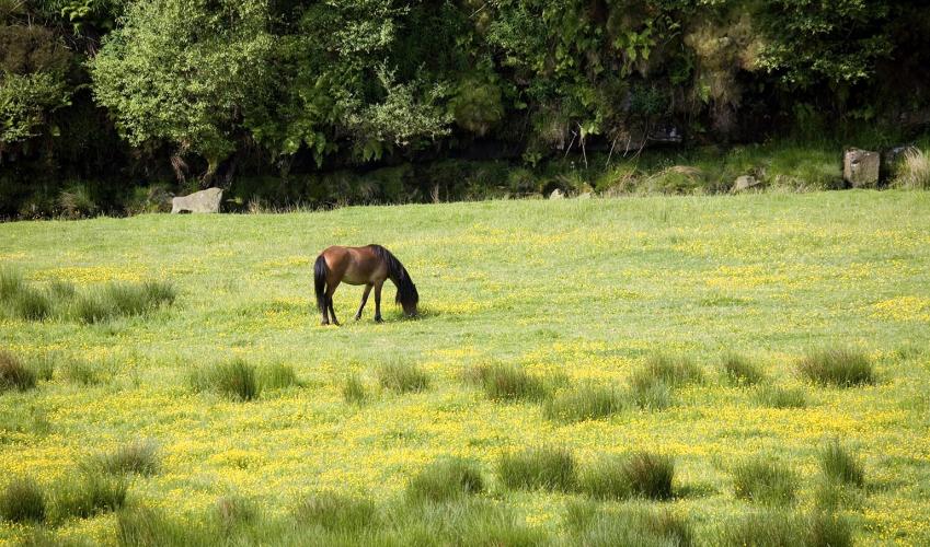
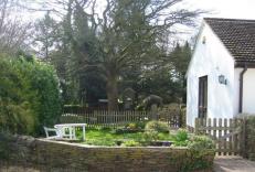
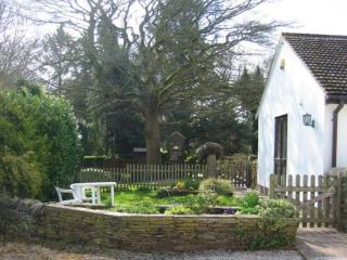
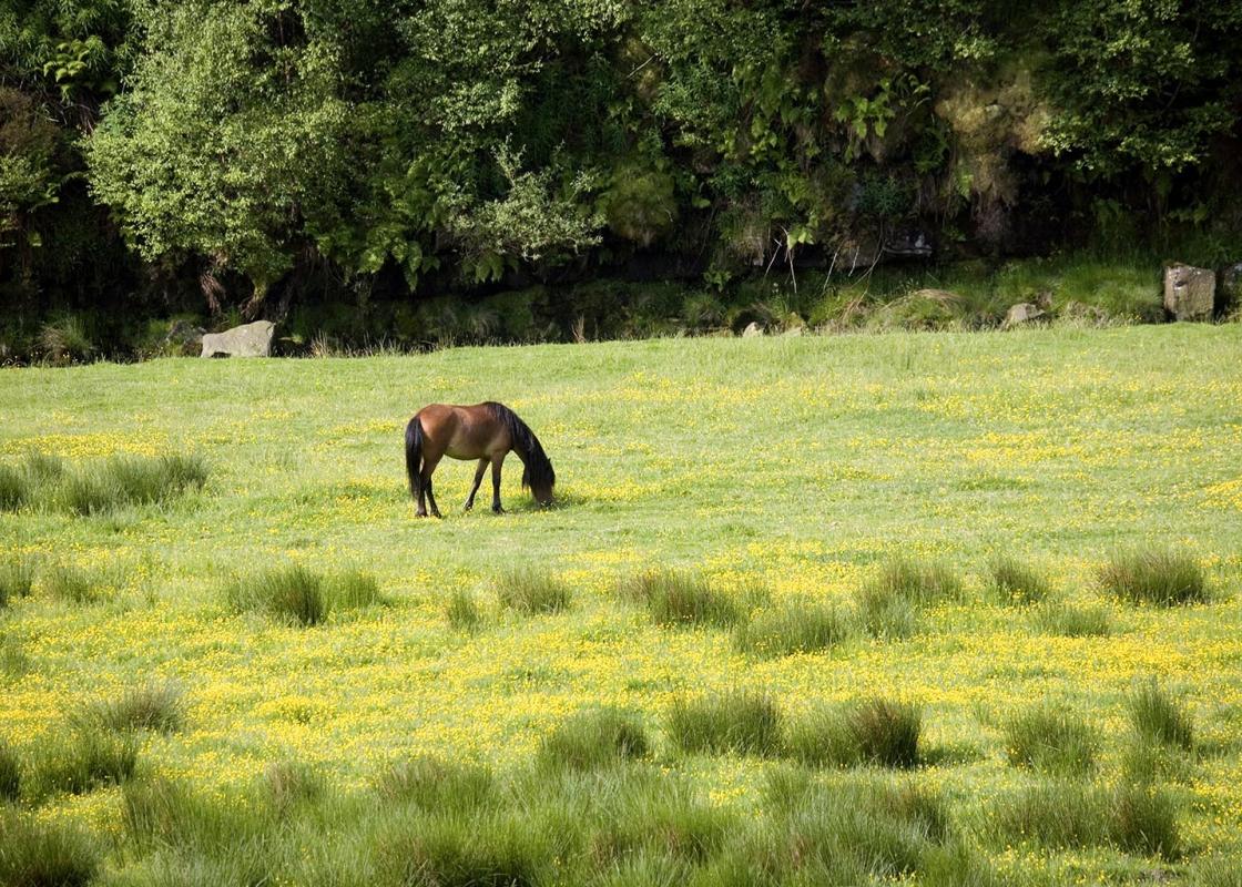
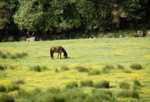
It’s easy to forget, as you look across Linacre and the valley of Holme Brook today, that Chesterfield is only a few miles away. This tranquil combe, sheltered from the west winds by the high heather moors, has three small reservoirs surrounded by attractive woodland. Linacre means arable land... where flax is grown, and as early as the 13th century linen from that flax was manufactured in the valley. But until the mid-19th century this was no more than an agricultural backwater of northeast Derbyshire. Supplying water power It was the growth of Chesterfield and the Derbyshire coalfields, and the need for water, which brought the valley to notice. Here was a good supply, well fed by those moors to the east. The reservoirs were built one by one between 1855 and 1904 in an attempt to supply these ever-growing requirements. Until 1909, when the filter beds were built, water was pumped directly from the reservoirs to consumers’ homes. According to the information sign at Linacre Reservoirs the ‘water supply was such that the poor used it as soup, the middle class for washing their clothes and the elite for watering their gardens’. If you’ve parked in the middle car park, you’re standing above the ruins of two great buildings. Not much is known about the older Linacre Hall other than its mention in old charters, but the three-storey mansion of Linacre House was once home to Dr Thomas Linacre (1460–1524), who was president of the Royal College of Surgeons and physician to both Henry VIII and the young Mary, Queen of Scots. About two-thirds of the trees at Linacre are broadleaved, mainly sycamore, beech, oak and ash, while the remaining third are larch, pine and spruce. Hidden in the woods you may discover the remains of some old Q-holes. These were crudely dug pits of about 5ft (1.5m) in diameter, where timber was once burned for use in the smelting of lead ore. Wildlife sightings On the northern side of the top reservoir the route takes to a long boardwalk above the water’s edge, which allows for a bird’s-eye view (in every sense). You’ll almost certainly see moorhens, coots and mallards, perhaps even grebes or a sleek black cormorant, and maybe some of the migrating wildfowl that frequently visit. The shores of the top reservoir are designated conservation areas and home to an array of woodland birds. Woodpeckers can be heard, if not always seen, while nuthatches can be glimpsed scuttling up and down tree trunks in search of grubs and insects. Outside the Ranger’s office there’s often a board where visitors post recent wildlife sightings from their visit to Linacre.
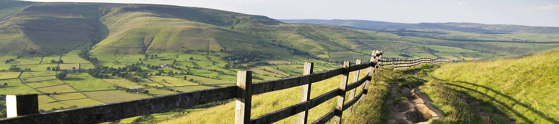
The natural features of this central English county range from the modest heights of the Peak District National Park, where Kinder Scout stands at 2,088 ft (636 m), to the depths of its remarkable underground caverns, floodlit to reveal exquisite Blue John stone. Walkers and cyclists will enjoy the High Peak Trail which extends from the Derwent Valley to the limestone plateau near Buxton, and for many, the spectacular scenery is what draws them to the area.
"Three quiet, tree-lined reservoirs are secreted away between the Chatsworth moors and Chesterfield."
Walk details
1hr 15min
Difficulty:
Easy
Gradient:
Gentle
Distance:
2.5 miles (4kms)
Ascent:
295ft (89m)
Walk directions
From the bottom of the lowest car park go down the steps into the woods. After about 100yds (91m) turn right along a waymarked bridleway. Approaching the dam of the middle reservoir fork right on the wide track and proceed westwards, with the reservoir through the trees on your left.
1 of 6
When you reach the dam of the upper reservoir stay on the main track as it swings right, up a few steps, and on along the wide wooded track above the shoreline. Dropping down to cross an inlet, go across the lower of the two footbridges for a concessionary path through woodland above the water.
2 of 6
At the end of the reservoir turn left onto a wooden footbridge over Birley Brook. Continue on the waterside route around the reservoir’s northern and western shores, including a section of boardwalk and another bridge and steps. After reaching an area of pines you come to a junction of routes at the end of the dam of the top reservoir.
3 of 6
Keep to the main route as it veers right into the woods, away from the reservoirs. Follow the wide and winding track through the trees until finally you drop down and arrive at the end of the dam of the middle reservoir.
4 of 6
Go right on the main route, which swings into woodland. Ignore paths off left and right and maintain your general height and direction above the shoreline among mature beech trees. When you reach a junction of routes at the end of the lower reservoir go left, across the dam next to the wall.
5 of 6
At the far side of the dam go up some steps (or up the sloping drive to the right, which doubles back) and veer right to the toilets and Ranger’s office. Turn left on to the lane and climb back up to the car park.
It’s easy to forget, as you look across Linacre and the valley of Holme Brook today, that Chesterfield is only a few miles away. This tranquil combe, sheltered from the west winds by the high heather moors, has three small reservoirs surrounded by attractive woodland. Linacre means arable land... where flax is grown, and as early as the 13th century linen from that flax was manufactured in the valley. But until the mid-19th century this was no more than an agricultural backwater of northeast Derbyshire. Supplying water power It was the growth of Chesterfield and the Derbyshire coalfields, and the need for water, which brought the valley to notice. Here was a good supply, well fed by those moors to the east. The reservoirs were built one by one between 1855 and 1904 in an attempt to supply these ever-growing requirements. Until 1909, when the filter beds were built, water was pumped directly from the reservoirs to consumers’ homes. According to the information sign at Linacre Reservoirs the ‘water supply was such that the poor used it as soup, the middle class for washing their clothes and the elite for watering their gardens’. If you’ve parked in the middle car park, you’re standing above the ruins of two great buildings. Not much is known about the older Linacre Hall other than its mention in old charters, but the three-storey mansion of Linacre House was once home to Dr Thomas Linacre (1460–1524), who was president of the Royal College of Surgeons and physician to both Henry VIII and the young Mary, Queen of Scots. About two-thirds of the trees at Linacre are broadleaved, mainly sycamore, beech, oak and ash, while the remaining third are larch, pine and spruce. Hidden in the woods you may discover the remains of some old Q-holes. These were crudely dug pits of about 5ft (1.5m) in diameter, where timber was once burned for use in the smelting of lead ore. Wildlife sightings On the northern side of the top reservoir the route takes to a long boardwalk above the water’s edge, which allows for a bird’s-eye view (in every sense). You’ll almost certainly see moorhens, coots and mallards, perhaps even grebes or a sleek black cormorant, and maybe some of the migrating wildfowl that frequently visit. The shores of the top reservoir are designated conservation areas and home to an array of woodland birds. Woodpeckers can be heard, if not always seen, while nuthatches can be glimpsed scuttling up and down tree trunks in search of grubs and insects. Outside the Ranger’s office there’s often a board where visitors post recent wildlife sightings from their visit to Linacre.
The natural features of this central English county range from the modest heights of the Peak District National Park, where Kinder Scout stands at 2,088 ft (636 m), to the depths of its remarkable underground caverns, floodlit to reveal exquisite Blue John stone. Walkers and cyclists will enjoy the High Peak Trail which extends from the Derwent Valley to the limestone plateau near Buxton, and for many, the spectacular scenery is what draws them to the area.