An Abbotsbury loop
Recommended by

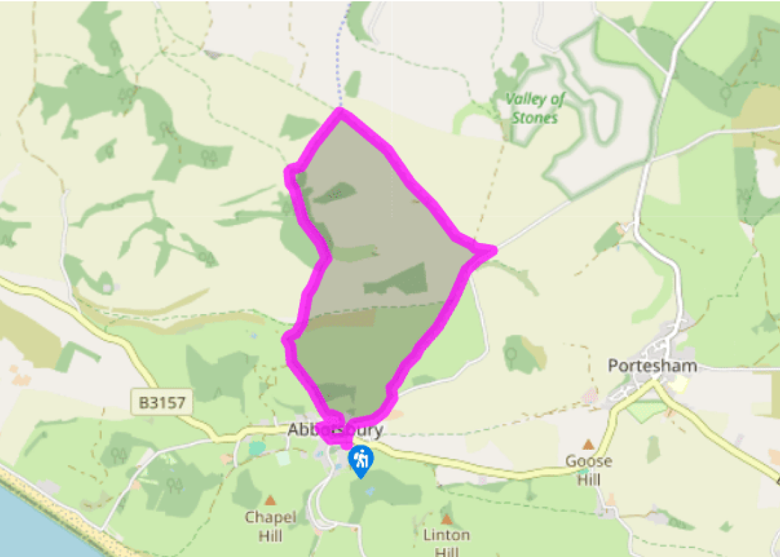
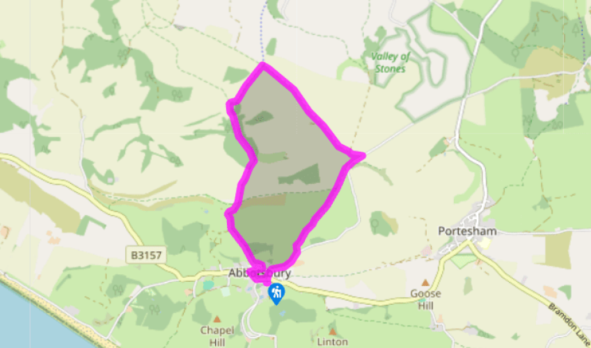
Walk directions
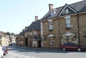
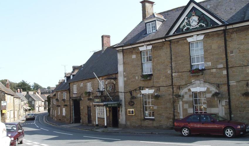
Leave the car park entrance and go left along the road, keeping with it as it bends right through the village. On reaching the Ilchester Arms Hotel, go right again past The Old School House Tea Room and public toilets.
After 150yds (137m), leave up Blind Lane, a track on the left signed to ‘Hillfort and Hardy Monument’. Swinging left behind cottages and then right, it climbs steadily on to White Hill above the town. Through a gate at the top, carry on at the edge of scrub, passing a signpost to a gate higher up. Keep ahead over a grass bank towards a limestone outcrop, aiming for a field gate that comes into view.
View all directions
Additional information
Terrain
- Field paths and tracks, a short distance along lanes
Landscape
- Rolling downs
Dog friendliness
- Dogs on leads near grazing livestock
Parking
- Pay-and-display car park in Abbotsbury, just off B3157
Toilets en route
- In Abbotsbury village
About the walk
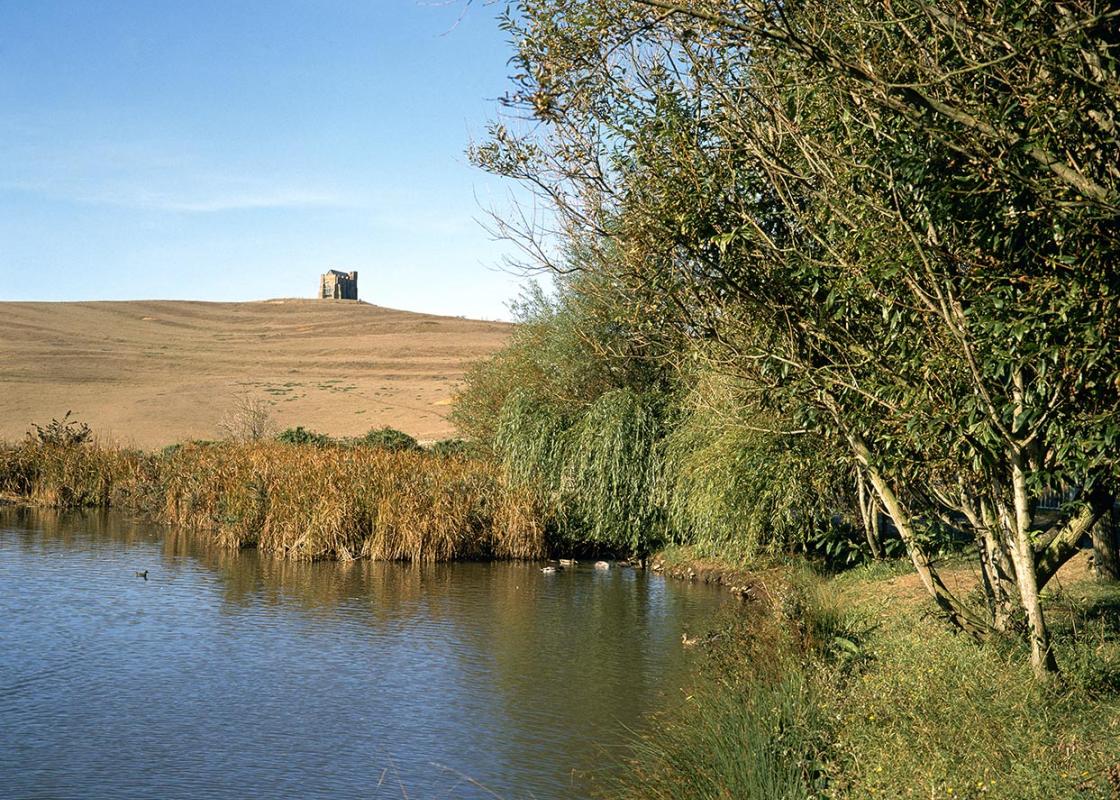
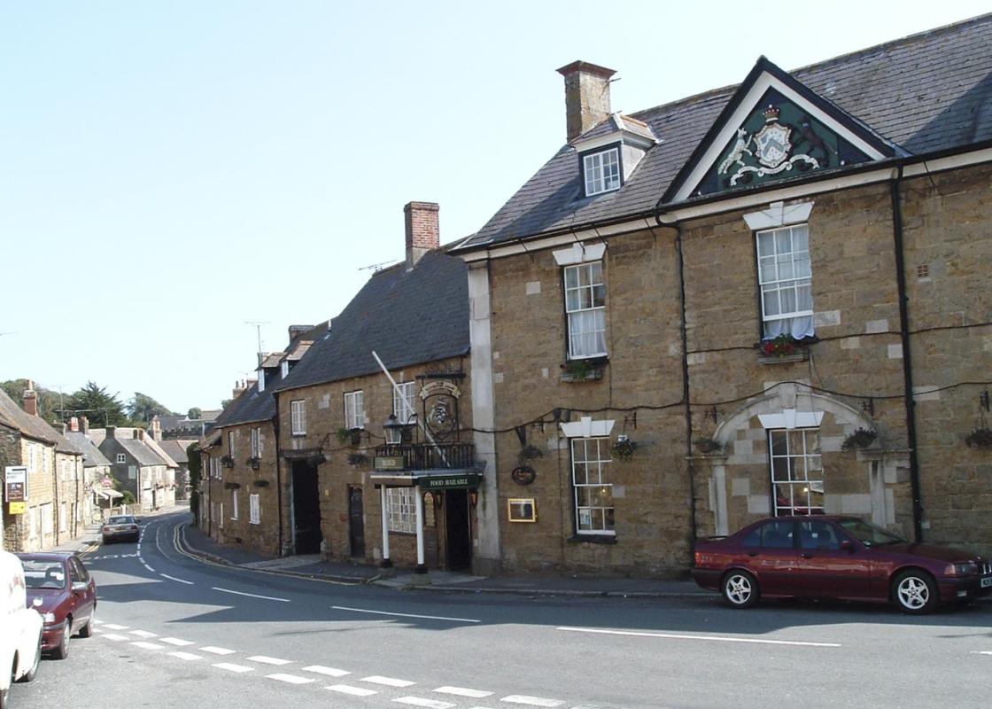
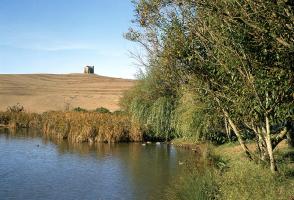
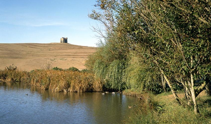
Abbotsbury overlooks the head of The Fleet, a long, salty lagoon separated from the sea by the high shingle bank backing Chesil Beach. The sheltered lake and surrounding reeds provided ideal nesting, and the monks of the nearby 11th-century Benedictine monastery learned how to manage mute swans and...
Read more

Been on this walk?
Send us photos or a comment about this route. Or recommend a route of your own.

Walking in Safety
Read our tips to look after yourself and the environment when following this walk.

Get an AA guide
Explore our range of ‘50 Walks in’ guides - they’re the ideal companion for a ramble.
Been on this walk?
Send us photos or a comment about this route. Or recommend a route of your own.
Walking in Safety
Read our tips to look after yourself and the environment when following this walk.
Get an AA guide
Explore our range of ‘50 Walks in’ guides - they’re the ideal companion for a ramble.
About the area
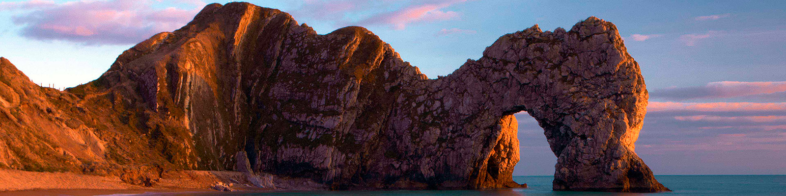
Dorset is made up of rugged coastlines, high chalk downlands and a chain of picturesque villages and seaside towns that make up Britain’s Jurassic Coast, a UNESCO World Heritage Site and Area of Outstanding Natural Beauty, noted for its layers of shale and numerous fossils embedded in the rock. Hidden gems of Dorset can be found down winding, country lanes that lead to snug villages hidden from view.
Nearby places to stay
View all (8)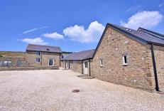


Nearby places to stay
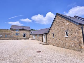
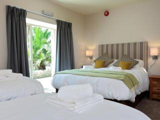
Clayhanger Lodge
Clayhanger Lodge is a spacious detached barn conversion that sleeps six in three bedrooms: two with super king-sized beds and one with two single beds that can be made into a super king...
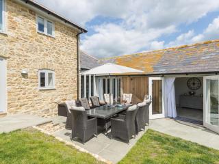
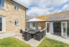
Furlongs
Furlongs is a stone-built farm steading that was completed in June 2019. It combines comfort with traditional features and modern style. The location is between the impressive coastal f...
Furlongs Cottage
Furlongs is a stone-built farm steading that was completed in June 2019. It combines comfort with traditional features and modern style. The location is between the impressive coastal f...
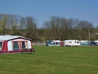
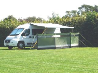
Portesham Dairy Farm Campsite
Located at the edge of the picturesque village of Portesham close to the Dorset coast, this family-run, level park is part of a small working farm in a quiet rural location. Fully servi...
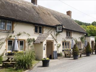
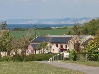
Kings Arms
Situated on the coast road, approximately halfway between Weymouth and Dorchester, this long-established and popular village local is a great base from which to explore the area. Local ...
Home Farm Caravan and Campsite
This quiet site, hidden away on the edge of a little hamlet, has good facilities and is an excellent place to camp; hardstanding pitches are available. It offers sweeping views of the D...
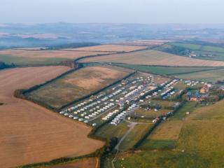
Bagwell Farm Touring Park
Bagwell Farm Touring Park is set in a small valley with access to the South West Coast Path and is very convenient for visiting Weymouth and Portland. It has excellent facilities includ...
West Fleet Holiday Farm
A spacious farm site with both level and sloping pitches divided into paddocks and screened by hedges. This site has good views of the Dorset countryside, and is a relaxing place for a ...
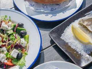
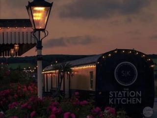
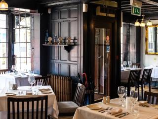
Places to eat nearby View all