South Cerney and the Cotswold Water Park
Recommended by

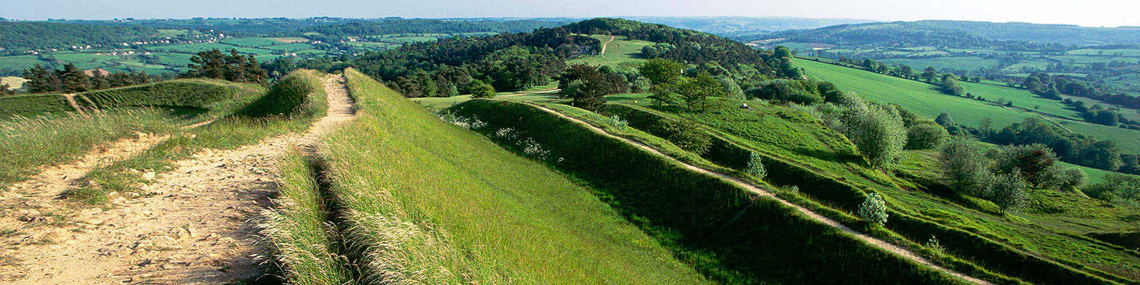
"Through an evolving landscape in the southern Cotswolds."
Walk directions
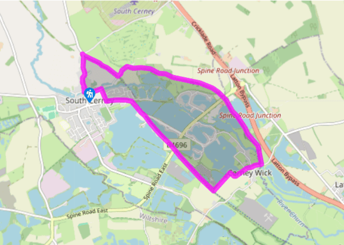
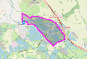
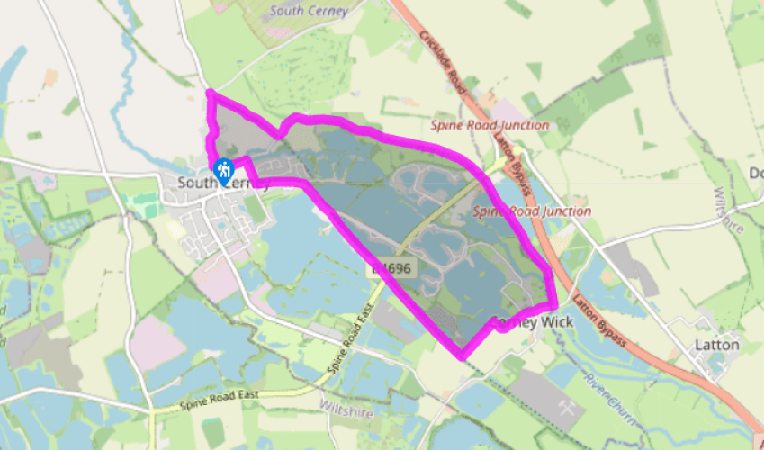
From Silver Street walk north out of the village. Just before the turning to Driffield and Cricklade, turn right onto National Cycle Route 45. Stay on this obvious path for 800yds (732m) to reach a brick bridge across the path. Turn right here up a flight of steps to reach a narrow road.
Turn left and walk along this for 200yds (183m) until you come to footpaths to the right and left. Turn right along a farm track, following a signpost for Cerney Wick. Almost immediately the shallow, overgrown remains of the Thames and Severn Canal appear to your left. When the track veers right into a farm, walk straight ahead over a stile to follow a path beneath the trees – this is the old canal towpath. Keep going straight ahead through kissing gates as you pass the partly restored Wildmoorway Lower Lock, just before the Spine Road bridge.
View all directions
Additional information
Terrain
- Track, tow path and lanes; several stiles
Landscape
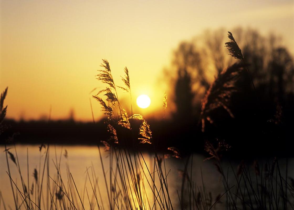
- Very flat – lakes, light woodland, canal and village
Dog friendliness
- Good, but be aware of waterfowl around the lakes
Parking
- Silver Street, South Cerney
Toilets en route
- None on route
About the walk
By their very nature, ancient landscapes and historic architecture evolve very slowly, changing little from one century to the next. In the Cotswolds, this is especially true. Here, building restrictions are strict – even sometimes draconian. The result is a significant area of largely unspoilt...
Read more

Been on this walk?
Send us photos or a comment about this route. Or recommend a route of your own.

Walking in Safety
Read our tips to look after yourself and the environment when following this walk.

Get an AA guide
Explore our range of ‘50 Walks in’ guides - they’re the ideal companion for a ramble.
Been on this walk?
Send us photos or a comment about this route. Or recommend a route of your own.
Walking in Safety
Read our tips to look after yourself and the environment when following this walk.
Get an AA guide
Explore our range of ‘50 Walks in’ guides - they’re the ideal companion for a ramble.
About the area
Gloucestershire is home to a variety of landscapes, including the Cotswolds, a region of gentle hills, valleys and gem-like villages that roll through the county. To their west is the Severn Plain, watered by Britain’s longest river and characterised by orchards and farms marked out by hedgerows that blaze with mayflower in the spring; beyond the Severn are the Forest of Dean and the Wye Valley.
Nearby places to stay
View all (8)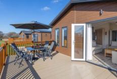


Nearby places to stay
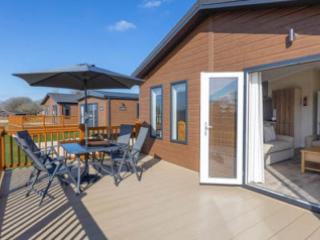
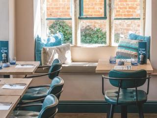
Hoburne Cotswold Reach
Awaiting description....
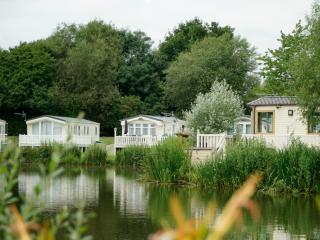
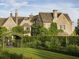
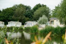
Hoburne Cotswold
Surrounded by pretty, stone-built villages, Hoburne Cotswold lies alongside one of the UK’s biggest water parks, with water sports, nature trails and wildlife. Four lakes belong to Hobu...
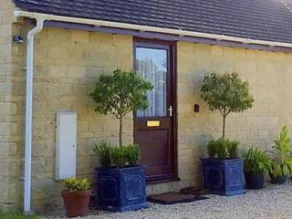
Field Farm Cottage
Field Farm Cottage is set on a working farm near a small Cotswold village, and enjoys pretty views over the countryside. The cottage sleeps two so would be great for a couple or even an...
Field Farm Cottage
Field Farm Cottage is set on a working farm near a small Cotswold village, and enjoys pretty views over the countryside. The cottage sleeps two so would be great for a couple or even an...
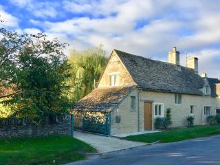
Culls Cottage
Culls Cottage has everything you need for a perfect holiday. Dating back to 1670 the cottage sits in the Cotswold village of Southrop, close to historic Burford and Lechlade on Thames a...
Culls Cottage – Eco Chic Cottages
Culls Cottage has everything you need for a perfect holiday. Dating back to 1670 the cottage sits in the Cotswold village of Southrop, close to historic Burford and Lechlade on Thames a...
Well Cottage Bed & Breakfast
Situated on the Thames Path in a quiet village just three miles from Cirencester, Well Cottage Bed & Breakfast offers three comfortable and attractively furnished bedrooms in a 200-year...

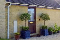
The Old Brewhouse
The Old Brewhouse, a delightful 17th-century town house, is within easy reach of the centre of Cirencester, the Roman Corinium. Holder of a Breakfast Award, the four guest rooms are bui...
Places to eat nearby View all