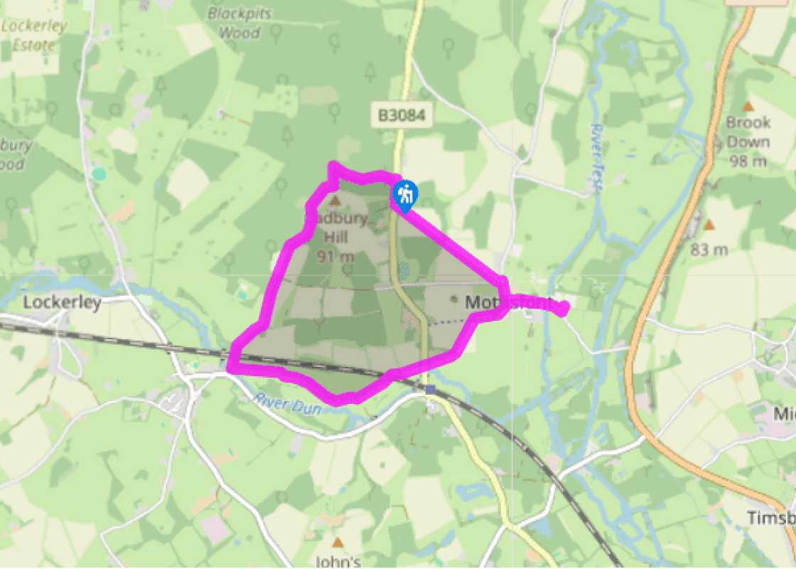

Meandering around Mottisfont
Recommended by

"Combine glorious woodland and riverside walking along the River Dun with a visit to a 12th-century Augustinian priory."
Walk directions
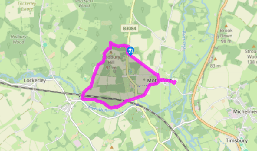
Pass beside the gate opposite the Spearywell Wood car park entrance, by the information boards, to join a woodland path. Follow the white arrows as it bears right, and pass through a tall conifer plantation; then, where the path reaches a T-junction, turn left (by a concrete marker stone indicating a Mottisfont Estate Path, MEP). Bear right at the next junction (MEP stone), then at the staggered junction by a red spot waymarker, bear left then immediately right through woodland. Descend through the woodland fringe and at a fork keep right, following a yellow waymarker to a junction.
Turn left across a plank bridge and then diagonally right across a field. At a gap in the hedge and crossing of paths, zig-zag right (MEP stone) then left, following an estate path along the woodland edge and past a redundant stile. Continue beside fencing, eventually passing under the railway to a footbridge over the River Dun. The Dun, a tributary of the Test, was also known as the Barge River. At one time there were plans to develop a new canal to link Southampton and Salisbury, but the scheme was never completed.
View all directions
Additional information
Terrain
- Easy woodland trails and field paths, 2 stiles
Landscape
- Water meadows, farmland and National Trust woodland
Dog friendliness
- Can be let off lead in Spearywell Wood; allowed in Mottisfont gardens but not the Walled Garden
Parking
- National Trust car park at Spearywell Wood
Toilets en route
- None on route
About the walk
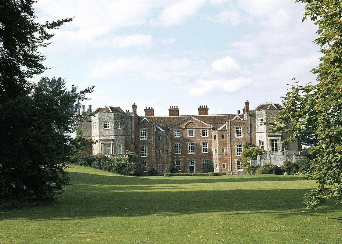
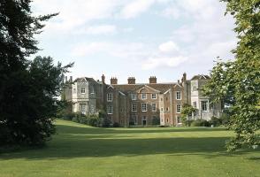
This short walk explores the National Trust estate at Mottisfont. Set picturesquely beside the River Test and around the walls of a former 12th-century priory, Mottisfont is a charming village of thatched cottages and Georgian houses, complete with a splendid listed church and an old tithe barn....
Read more

Been on this walk?
Send us photos or a comment about this route. Or recommend a route of your own.

Walking in Safety
Read our tips to look after yourself and the environment when following this walk.

Get an AA guide
Explore our range of ‘50 Walks in’ guides - they’re the ideal companion for a ramble.
Been on this walk?
Send us photos or a comment about this route. Or recommend a route of your own.
Walking in Safety
Read our tips to look after yourself and the environment when following this walk.
Get an AA guide
Explore our range of ‘50 Walks in’ guides - they’re the ideal companion for a ramble.
About the area
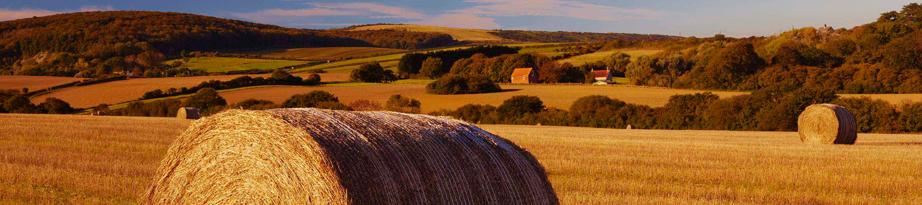
Hampshire’s varied landscape of hills and heaths, downlands and forests, valleys and coast are without rival in southern England. Hike across the chalk downland of the north Hampshire ‘highlands’, meander along peaceful paths through unspoilt river valleys of the Test, Itchen, Avon and Meon, or explore the lonely salt marshes and the beautiful medieval forest and heathland of the New Forest.
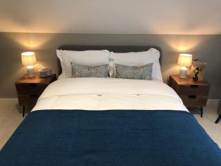
Nearby places to stay
View all (8)


Nearby places to stay
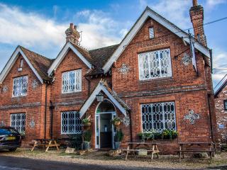
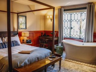
The Duke on the Test
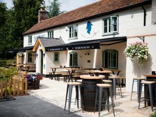
The Duke on the Test is a 16th-century inn just outside of Romsey, reimagined for the 21st century. It offers fine dining, a warm and cosy bar in beautiful surroundings as well as 12 en...
White Horse
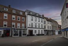
The White Horse is in the ancient market town of Romsey in the heart of the Test Valley. This charming former coaching inn is reported to date back to the 14th century. Visitors can sti...
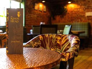
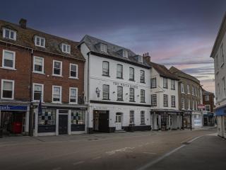
The Kings Head
The Kings Head is a beautifully restored 16th-century, Grade II listed building that opened as an inn in 1786. Inside, the restaurant is open daily offering a menu showcasing the best l...
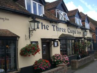
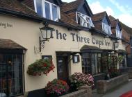
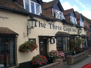
The Three Cups Inn
Standing on Stockbridge high street, The Three Cups Inn dates from the 15th century. A former coaching inn, it has bags of charm and character and there are many cask ales to try in the...

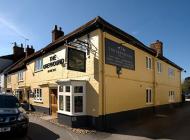
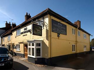
The Greyhound on the Test
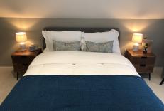
The River Test, famous worldwide for its fishing, flows at the back of this restaurant with rooms. The luxury bedrooms are generally spacious, beautifully styled and come with a host of...
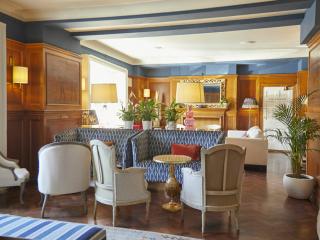
The Grosvenor Hotel Stockbridge
The Grosvenor Hotel, a Grade II listed property, is located in the heart of Stockbridge, often described as the capital of the world for fly-fishing. The individually designed luxury be...
The Peat Spade Inn
In a delightfully tranquil setting between the historic cities of Winchester and Salisbury, Longstock is just north of Stockbridge, in the heart of the Test Valley, known for its fly fi...
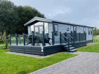
Green Hill Farm Holiday Village
Green Hill Farm is a delightful park, set deep in the countryside with all the peace and tranquillity that this has to offer. On offer is a number of accommodation types, from Shepherds...
Places to eat nearby View all