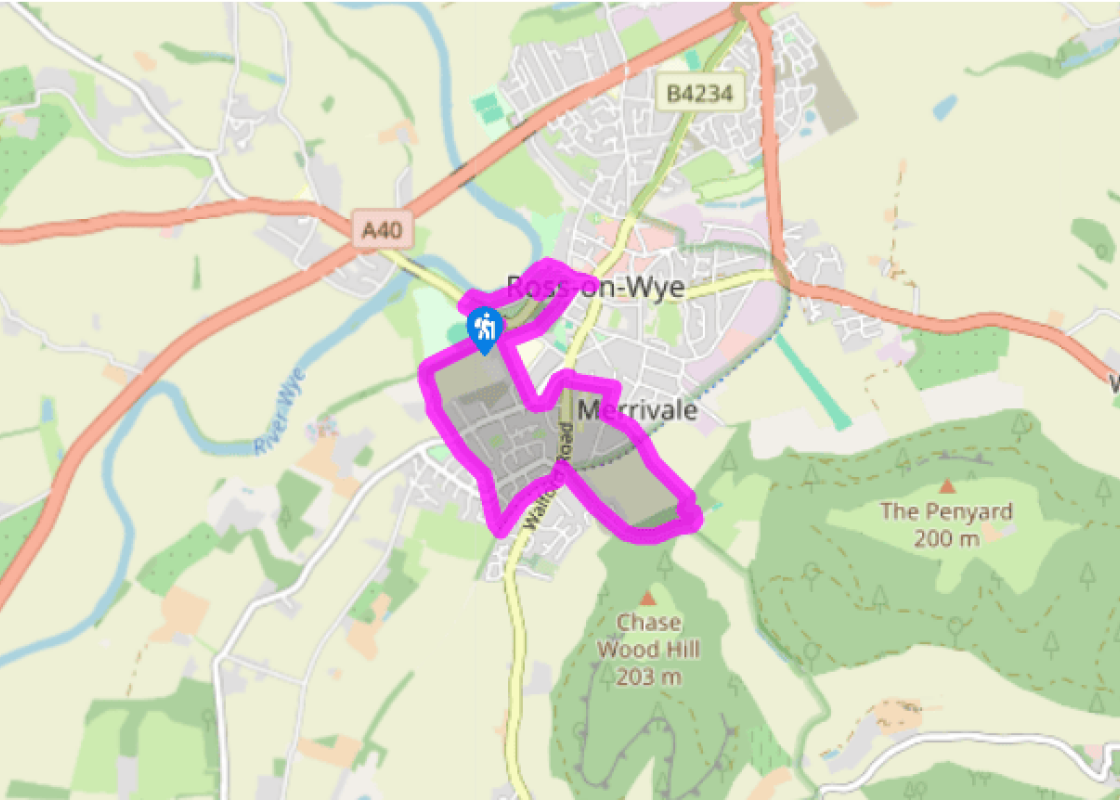
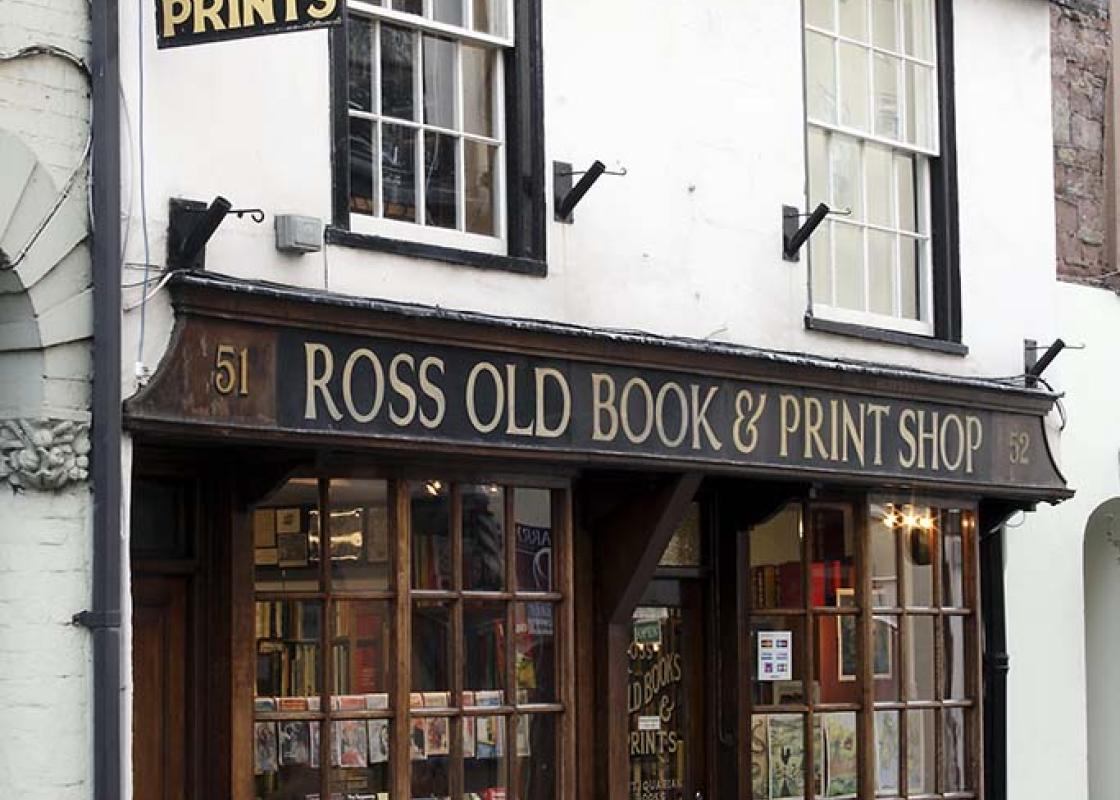
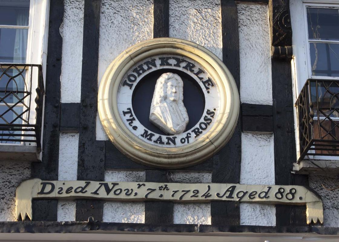
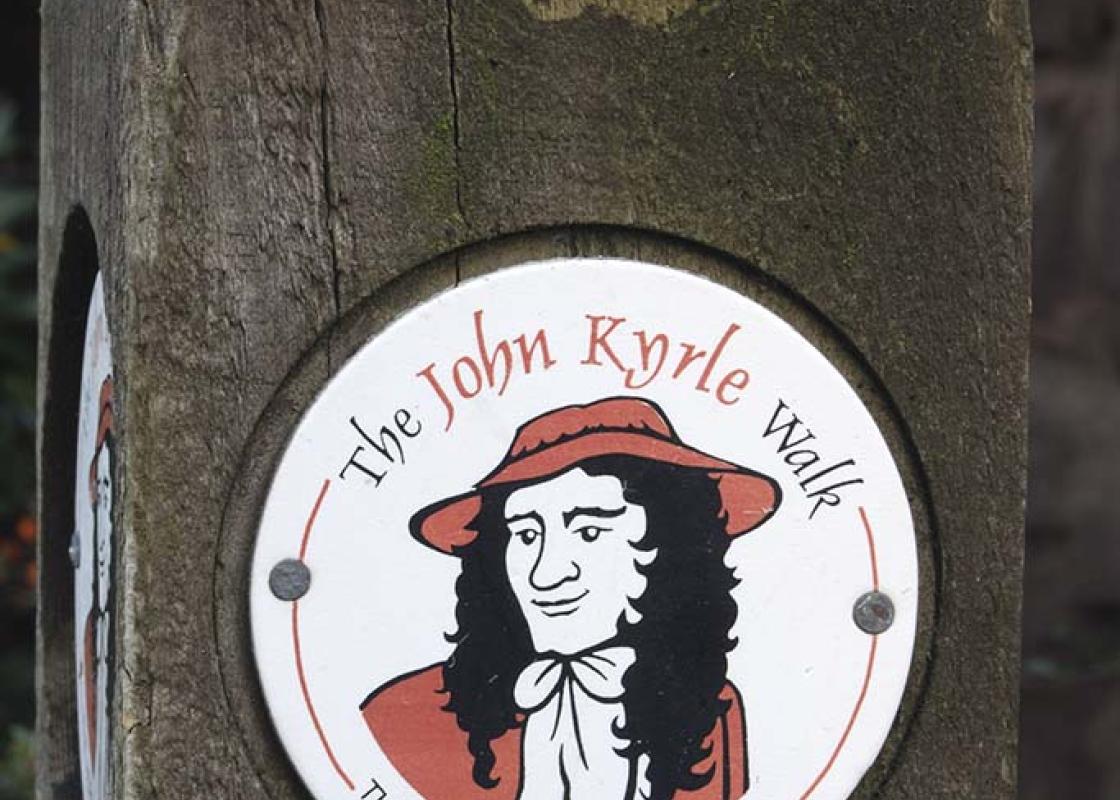
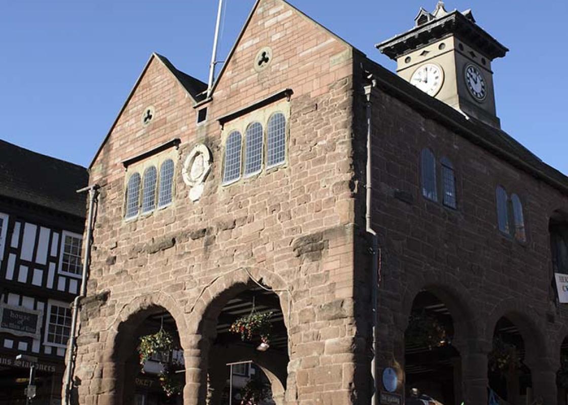
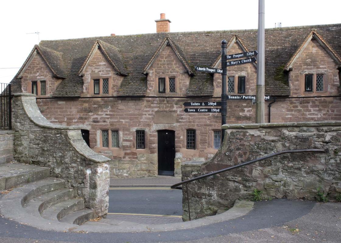
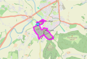
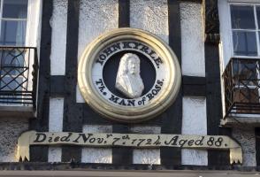
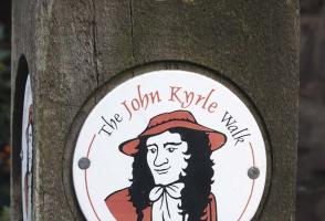
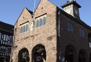
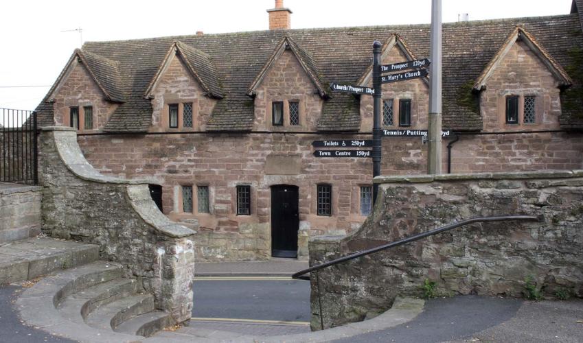
A tour of Ross-on-Wye
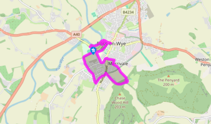
At the far corner of the car park, behind a skatepark, look for a path across a footbridge into trees. Bear left up a steep bank to a junction. Follow a handrailed path right, shortly emerging to walk on at the edge of a couple of fields. Approaching the corner, fork right down to a sunken track.
Climb left to continue on a hedged path. Coming out on to a lane, go left to a road. Take the path opposite, which runs between house gardens, later crossing three streets in succession to arrive at a broad track, once the Ross and Monmouth Railway. Go left, shortly meeting a main road. Cross to a path opposite that skirts a playground to reach Fernbank Road.
To the right, beyond the houses, the path degrades to a track rising into Chase Wood. At the top by Hill Farm, bear left to a waymarked gate. Through it, fork left but at the next split, stay ahead, the path now dropping steeply. At the bottom, go right on a broader path that soon dips to a junction. Bear left through a kissing gate and follow the field edge. At the far side, re-cross the disused railway and walk out, continuing along a short street to Merrivale Lane.
Opposite, diagonally right, a narrow footpath leads to Eastfield Road. Go right and then first left into the Avenue. At the end, turn right and immediately left down Ashfield Crescent. At a crossroads, swing right into Palmerston Road. Keep ahead over the next junction into Redhill Road. Carry on beyond Ashfield School along a wooded track to a barrier and go right beside the playing field. Crossing the end of a lane, the path continues into St Mary’s churchyard. Walk forward then wind right and left, passing the walled Prospect (a superb viewpoint) to round the church.
Passing a stone cross, leave by the northeast gate, walking past 14th-century almshouses to the bottom of Church Street. To the right is the Market Hall Visitor Centre and, just beyond, John Kyrle’s House.
Return along High Street past Church Street and go left into St Mary’s Street to find the Gazebo, part of mock-Gothic town walls constructed in 1833. Return to continue left along High Street. Cross the main road to the Man of Ross and walk down Wye Street. At the bend, keep ahead down steps, crossing the Hope and Anchor car park to a riverside path.
Follow the path left 200yds (183m) to the canoe launch and go left to the road. Cross to the grass opposite and bear right past a bandstand to a twin-arched bridge, through which is the car park.
Been on this walk?
Send us photos or a comment about this route. Or recommend a route of your own.
Walking in Safety
Read our tips to look after yourself and the environment when following this walk.
Get an AA guide
Explore our range of ‘50 Walks in’ guides - they’re the ideal companion for a ramble.
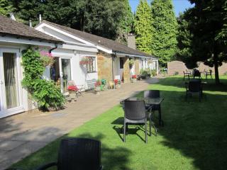
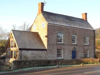
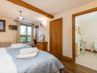
Nearby places to stay
View all (8)
- Total units: 3


