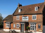
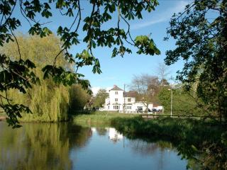
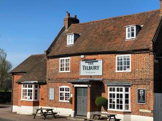
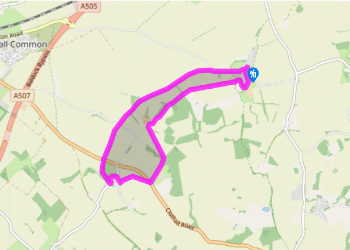
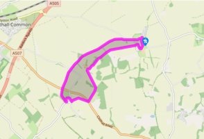
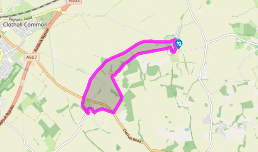
Wallington and Clothall
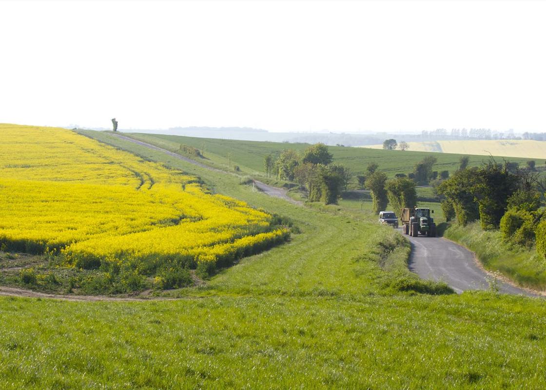
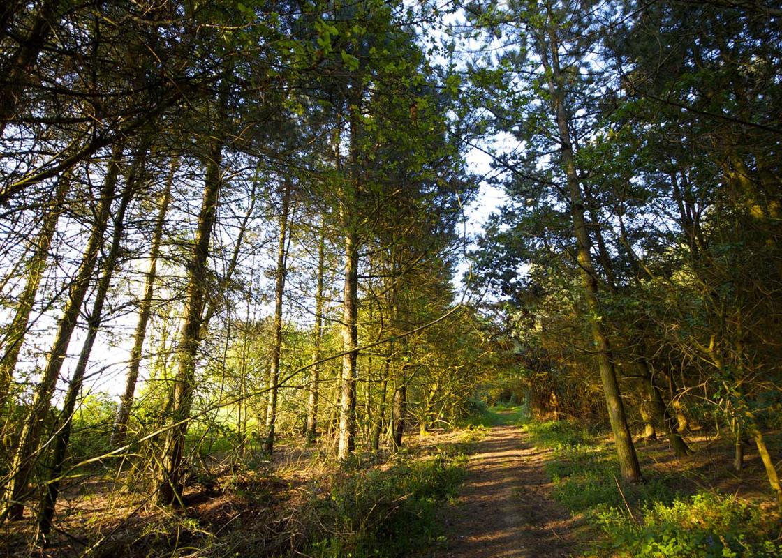
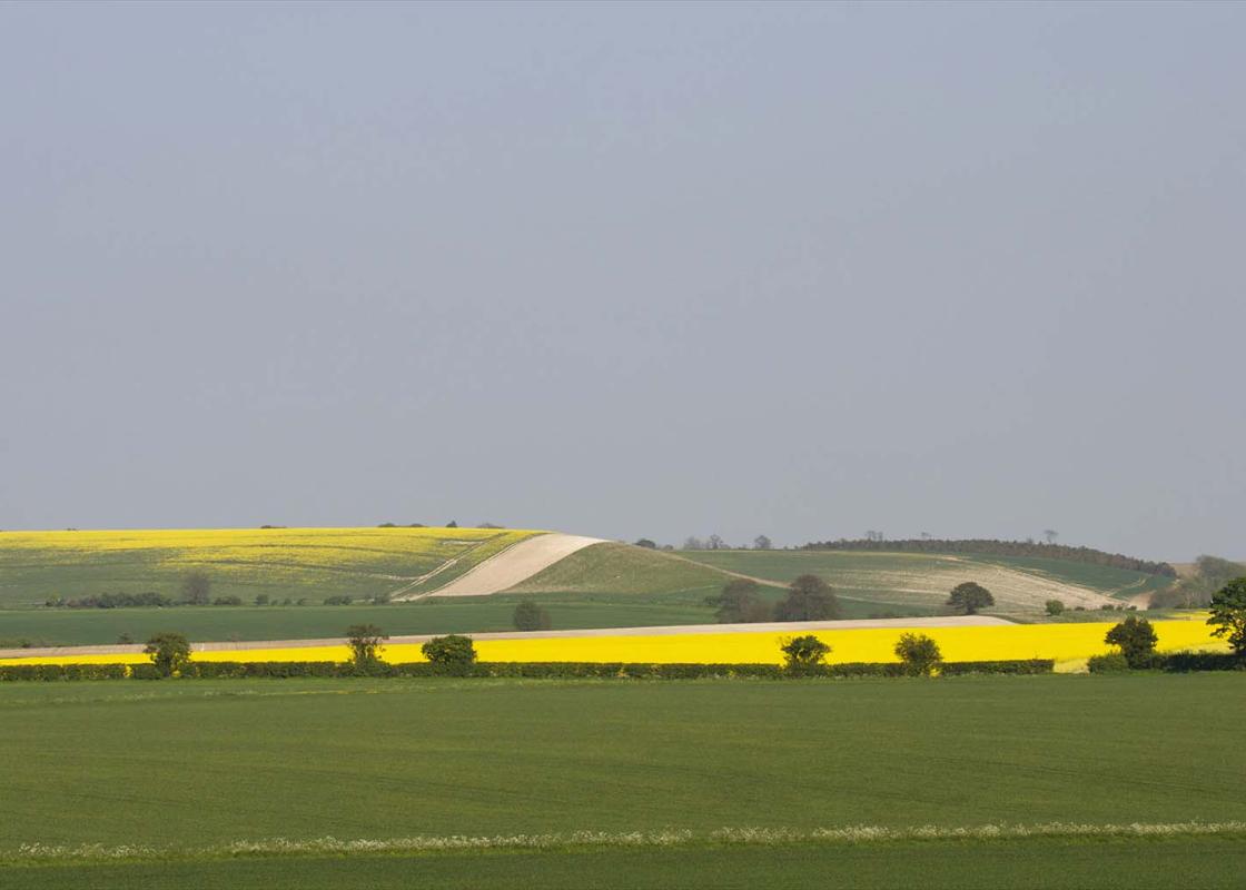
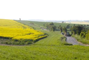
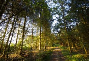
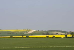
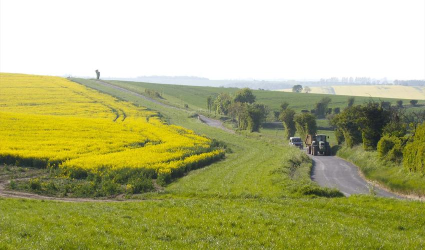
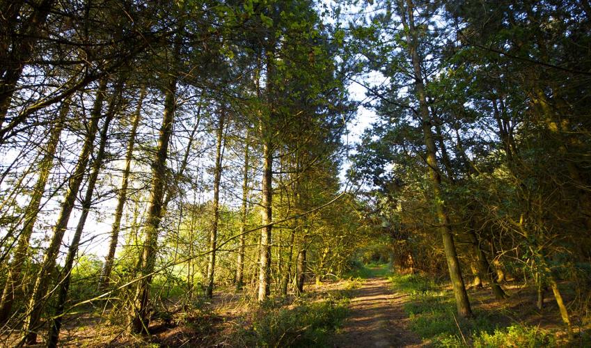
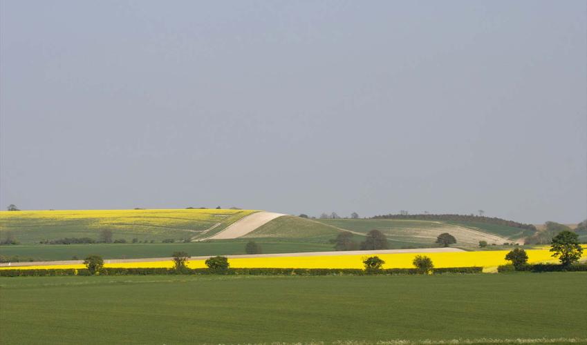
The walk begins in Kits Lane to the west of Wallington. Walk uphill away from the Village Hall and out of the village. Ignore the first footpath sign and descend the road to a bridleway and bear left. Now on the Icknield Way path, you wind up and along the chalk ridge, with occasional stretches of hedge. As it climbs out of the valley the path passes to the left of some farm buildings. The track crosses a lane and descends to the A507 Baldock to Buntingford road.
Across the road the path curves along the edge of a field with pasture to your left and the ridge on which Clothall’s church stands. Ignore the metal gate and, at the tree belt, turn left on to a path, which becomes a metalled track. Pass beside a farm gate and at the village lane turn left.
After a few paces turn left through a kissing gate at a public footpath sign and head uphill to the churchyard. Take time to look at the church and then, from the porch, go down the path and turn right on to an access drive. At the road turn right.
At a bend, just before The Glebe House, turn left and go up some steps at the footpath sign (No 24) to follow the left edge of a field, uphill. At the top bear right along a track between fields that runs parallel with the row of telegraph poles on your right. Cross the A507 and head for a footpath sign pointing you along a track. Past a farmyard the track becomes a green lane heading towards Clothallbury Woods. Follow the edge of these woods until the hedge and a tapering tree belt merge from the left.
Go diagonally left across a field downhill towards Quickswood farm. Pass a pond on the right and approach a hedge and footbridge. Don’t cross it but turn right and walk along the edge of the arable field.
At a metalled track go right, pass a cottage and follow the track alongside oak and ash woods. At the corner of the wood go straight along a green lane with the Corsican pine plantation of Spital Wood to your right. Where the track goes right keep ahead, the footpath now at the edge of the pines. Go over a stile and cross a cattle grazing pasture, passing to the left of some ponds. Cross another stile and carry straight on.
In a shallow dry valley cross a footbridge over a drain and where the drain goes left continue straight ahead across the field. The path crosses a hedged green lane, then a gravelled drive. Continue to the corner of the field, go right through a gate and along a path to St Mary’s Church. Out of the churchyard go left along a lane, descend to a junction and turn left to walk down Wallington’s main street. On the way you will pass Manor Farm on your right. At the end of the road is a white house, The Old Plough, a former pub, and to the left of this is The Stores, where Orwell once lived. Follow the road round by the pillar box and left back into Kits Lane.
Been on this walk?
Send us photos or a comment about this route. Or recommend a route of your own.
Walking in Safety
Read our tips to look after yourself and the environment when following this walk.
Get an AA guide
Explore our range of ‘50 Walks in’ guides - they’re the ideal companion for a ramble.
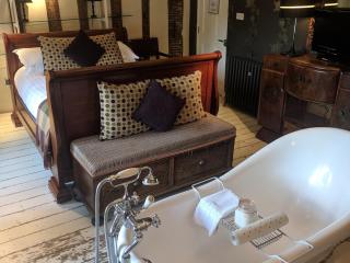
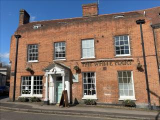
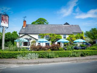
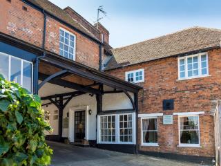
Nearby places to stay
View all (8)
- Rooms 8
- Free TV
- Direct Dial
- Wifi
- Family rooms: 8
- Free TV
- WiFi available
- Lift available
- Family rooms: 5
- Free TV
- WiFi available


