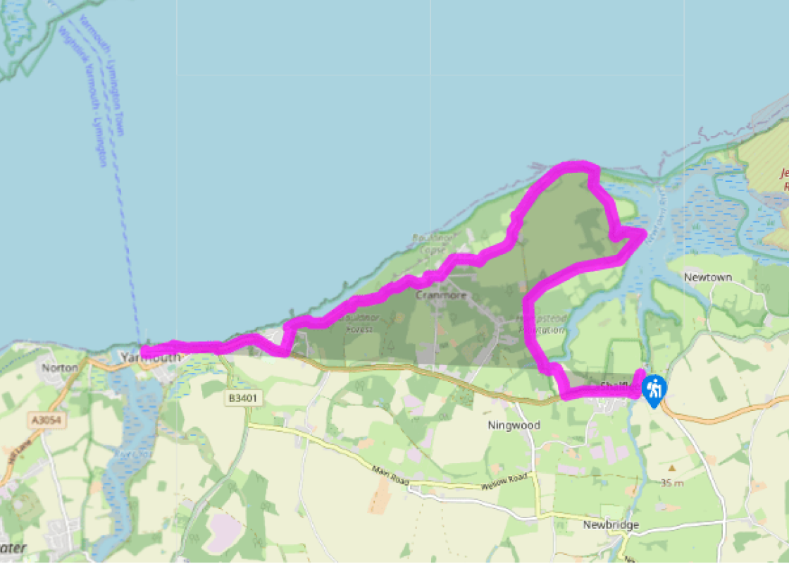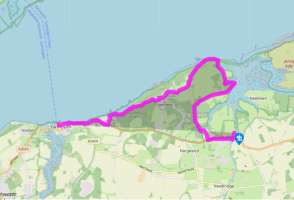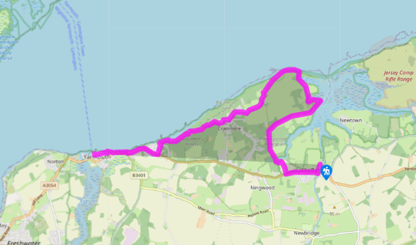
Isle of Wight Coastal Path: Shalfleet to Yarmouth
Turn right out of the car park and walk south to the end of the road and the hamlet of Shalfleet. Turn right at the end, by The New Inn, to pass the Church of St Michael the Archangel on the opposite side of the road. Now walk along the verge – much care is needed, as it can be busy. Follow this about 0.5 miles, past Shalfleet House. Where the road begins to dip down, turn right over a stile in the hedge.
Walk straight ahead along the edge of the field, with the hedge on your right. Follow at the bottom as the route swings left, then bear right over a footbridge across a stream. Turn right and follow the muddy path beside the stream, up steps, and fork left to meet a broad track. Turn right here, across the river, and continue ahead up a gentle slope into woodland. Keep ahead at the track crossing, then descend slightly, signed ‘Hamstead Trail’. Pass a barn on your right, and take the next track right, signed ‘Coastal Footpath, Yarmouth 5.5’. The track rises to give good views to the interior of the island. Descend gradually, passing Creek Farm. Pass a house overlooking Newtown River and continue ahead past a gate and down to a wooden jetty on the shore.

Been on this walk?
Send us photos or a comment about this route. Or recommend a route of your own.

Walking in Safety
Read our tips to look after yourself and the environment when following this walk.

Get an AA guide
Explore our range of ‘50 Walks in’ guides - they’re the ideal companion for a ramble.
Been on this walk?
Send us photos or a comment about this route. Or recommend a route of your own.
Walking in Safety
Read our tips to look after yourself and the environment when following this walk.
Get an AA guide
Explore our range of ‘50 Walks in’ guides - they’re the ideal companion for a ramble.
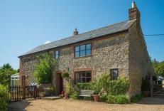
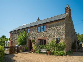
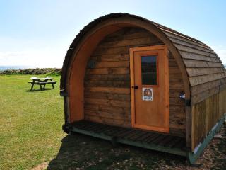
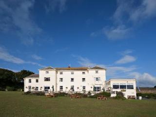
Nearby places to stay
View all (8)

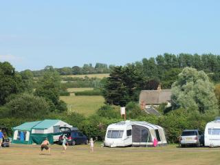
- Launderette
- Ice pack facility
- Cafe/Restaurant
- Picnic Area