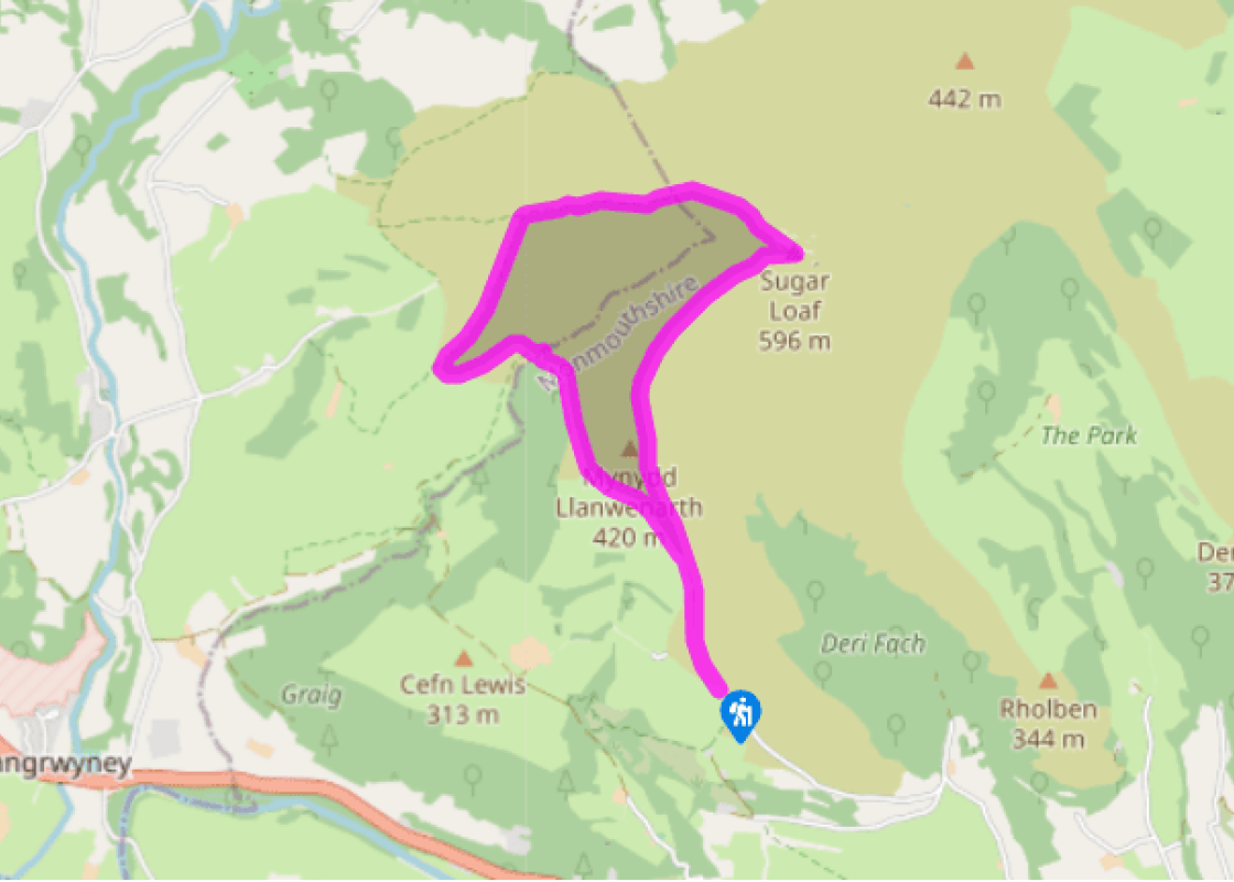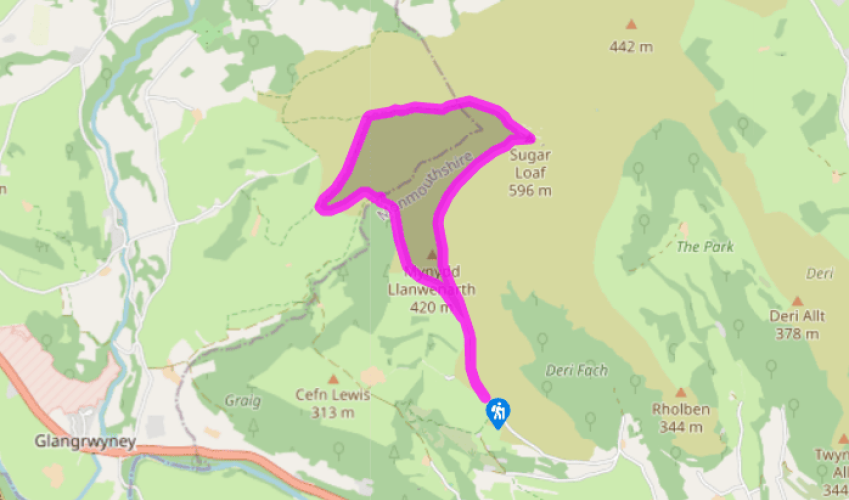
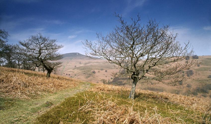
Sugar Loaf mountain
Standing in the car park and looking up the slope, you’ll see three obvious tracks leading away. The lowest, down to the left, is a tarmac drive; above this, but still heading out left, is a broad grassy track. Take this and follow it for 500yds (457m) to the corner of a dry-stone wall.
This marks a crossroads where you keep straight ahead, to follow the wall on your left. Continue along this line for another 0.5 miles (800m), ignoring any right forks, and keeping the wall down to your left. Eventually, you’ll start to drop down into a valley, where you leave the wall and head diagonally towards a wood. At the end of the wood, keep left to descend a grassy path to the stream.

Been on this walk?
Send us photos or a comment about this route. Or recommend a route of your own.

Walking in Safety
Read our tips to look after yourself and the environment when following this walk.

Get an AA guide
Explore our range of ‘50 Walks in’ guides - they’re the ideal companion for a ramble.
Been on this walk?
Send us photos or a comment about this route. Or recommend a route of your own.
Walking in Safety
Read our tips to look after yourself and the environment when following this walk.
Get an AA guide
Explore our range of ‘50 Walks in’ guides - they’re the ideal companion for a ramble.
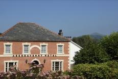
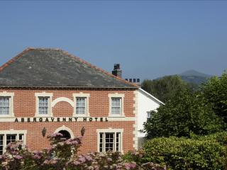
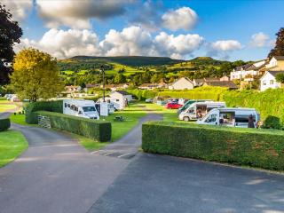
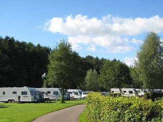
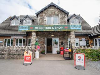
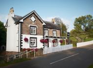
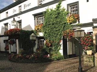
Nearby places to stay
View all (8)