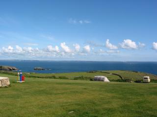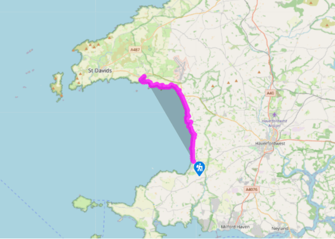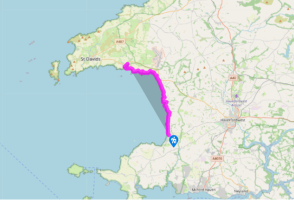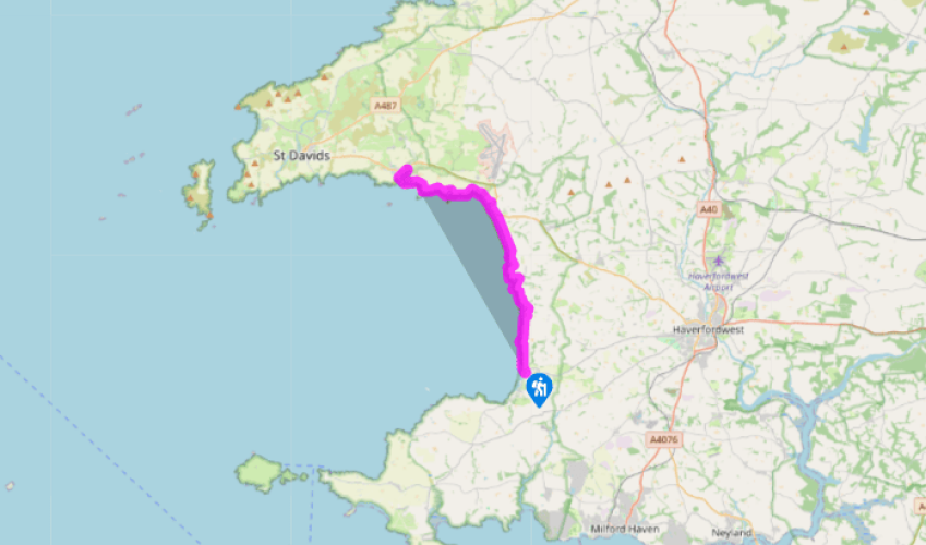
Pembrokeshire Coast Path: Broad Haven to Solva
Most guidebooks assume the walker will walk this route from north to south, but on this stretch of coastline it seems preferable to go from south to north. Firstly, the prevailing wind is more likely to be behind; and secondly, this way the coastal scenery, after a comparatively tame start along St Brides Bay, becomes more and more magnificent and challenging.
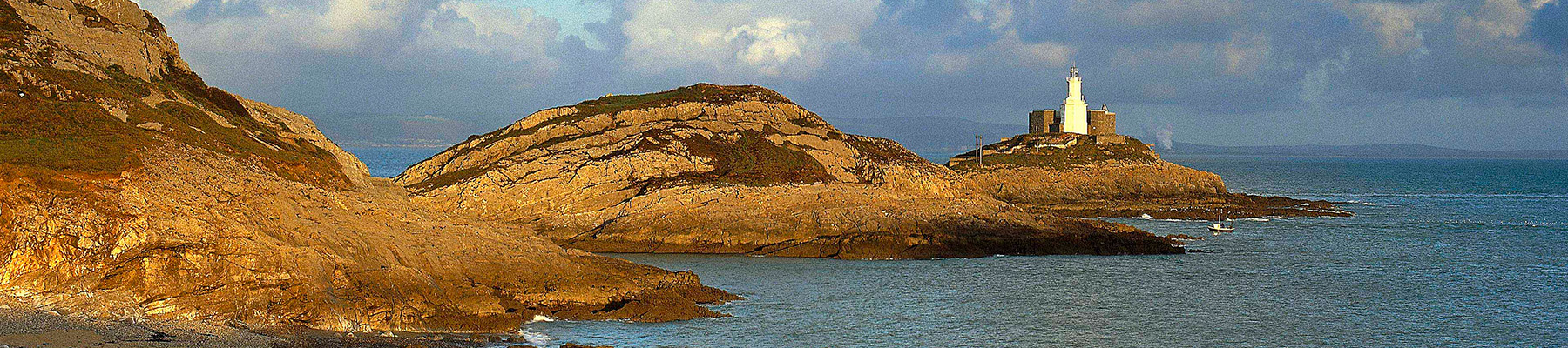
Broad Haven is a sprawling village in a fine location, with a long sandy beach and all the usual amenities, including a youth hostel. It is easily accessible from Haverfordwest, with a reasonably
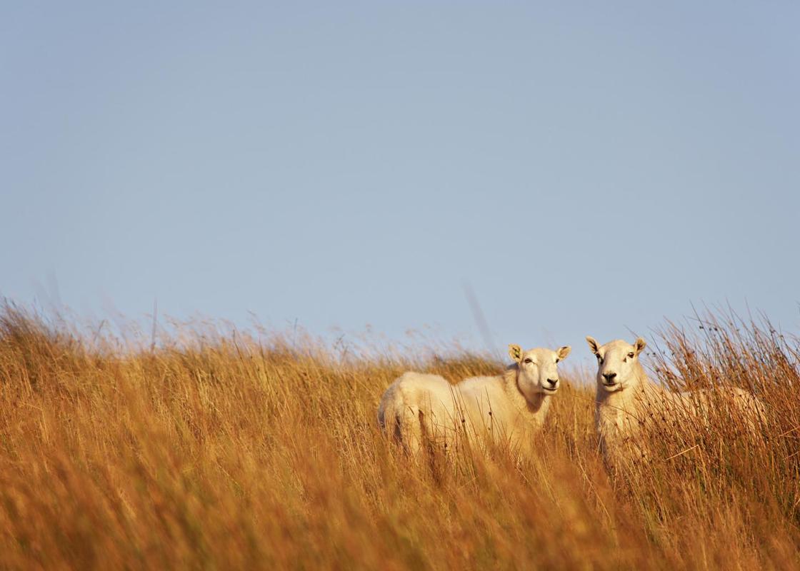
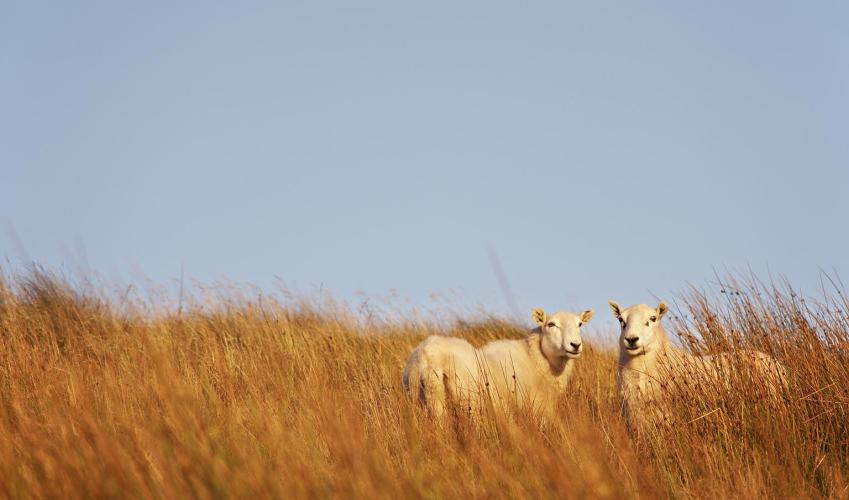
regular bus service. The coast path starts at the north end of the beach, where it is clearly signposted up a track leading to the clifftops above Sleek Stone. It takes an easy route across grassy headlands as it follows a path towards Druidston Haven, named after the Norman knight Drue, who invaded Ireland in the 12th century. This part of the path is along one of many specially negotiated rights of way, but sadly it is forced to divert a short distance inland and join the road on the outskirts of Druidston, passing above the back of the hotel which, presumably, barred its passage.
The beach at Druidston is one of several encountered along this part of the walk, as the path rejoins the coast above Druidston Haven.

Been on this walk?
Send us photos or a comment about this route. Or recommend a route of your own.

Walking in Safety
Read our tips to look after yourself and the environment when following this walk.

Get an AA guide
Explore our range of ‘50 Walks in’ guides - they’re the ideal companion for a ramble.
Been on this walk?
Send us photos or a comment about this route. Or recommend a route of your own.
Walking in Safety
Read our tips to look after yourself and the environment when following this walk.
Get an AA guide
Explore our range of ‘50 Walks in’ guides - they’re the ideal companion for a ramble.
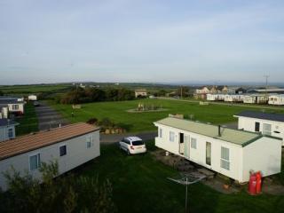
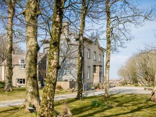
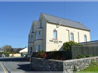
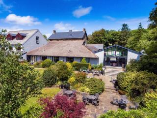
Nearby places to stay
View all (8)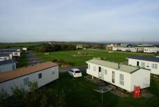

- Launderette
- Ice pack facility
- Picnic Area
- Wifi available