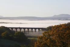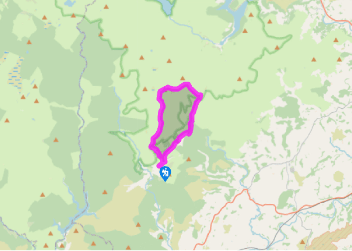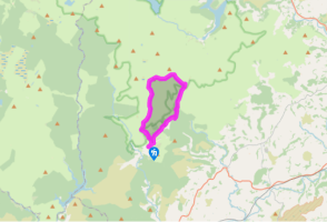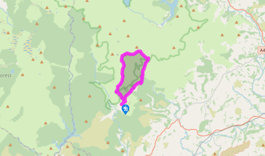
Drygarn Fawr
Turn right on to the road and walk towards the bridge, just before which a stony track heads up left. Take this and after 100yds (91m) turn right, through a gate. Follow the track across fields and down to the Afon Gwesyn, which you ford. Continue to a gate and up towards a wood where the track splits. Choose the top option and then, as this bends around to the left and heads downhill 20yds (18m) later, fork right, to traverse the clearing to a gap in the wood.
Follow the path down to a ford. Climb on to open ground and bear right to climb to a farm track by some buildings. Turn left on to this and follow it through a gate, where you fork left to walk beneath some crags. Ignore another fork to the left and continue to open ground. Follow the east side of the valley for over 1.5 miles (2.4km) to a waterfall.

Been on this walk?
Send us photos or a comment about this route. Or recommend a route of your own.

Walking in Safety
Read our tips to look after yourself and the environment when following this walk.

Get an AA guide
Explore our range of ‘50 Walks in’ guides - they’re the ideal companion for a ramble.
Been on this walk?
Send us photos or a comment about this route. Or recommend a route of your own.
Walking in Safety
Read our tips to look after yourself and the environment when following this walk.
Get an AA guide
Explore our range of ‘50 Walks in’ guides - they’re the ideal companion for a ramble.

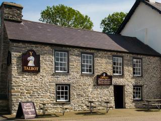
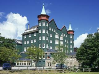
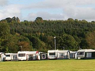
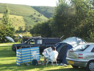
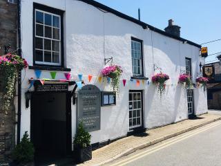
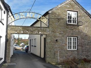
Nearby places to stay
View all (8)