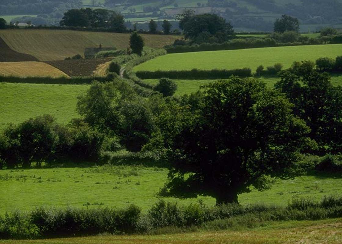
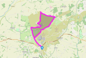
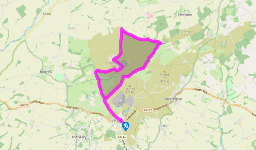
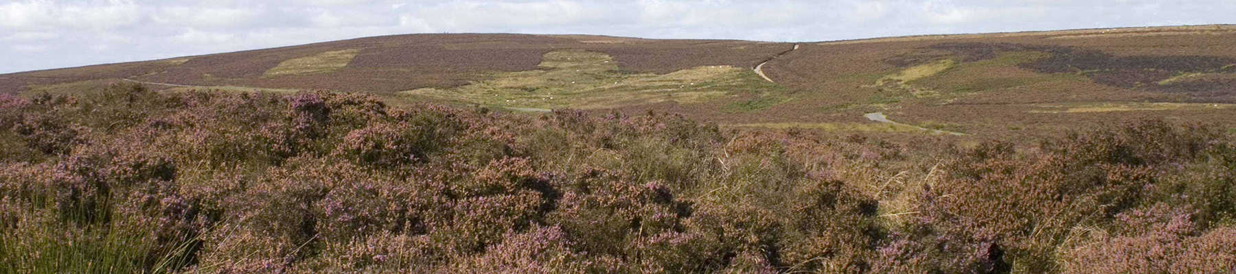
Bedlam on Clee Hill
Walk up the lane opposite the picnic area. After 100yds (91m), turn left and follow a broad track. Its middle section is classed as Open Access Land: follow it past mining ruins.
Turn right at Hedgehog House onto the road that leads to the radar station. Walk to the end of Rouse Boughton Terrace and turn left, then go through a small gate on the right before a cattle grid. Follow the top edge of a thistly field. Continue along the edge of the next field and through a gate in the corner to meet the Shropshire Way, which goes to the right. Ignore it and go straight on, skirting a stream and gorse thickets and crossing a gate in a wire fence before returning to the left-hand hedgeline.
A green track develops, swinging right and down to cross Benson’s Brook at a bridge. Follow the track up again, passing the abutments of a former tramway bridge (called Titterstone Incline on OS maps), before arriving at Bedlam.
Turn left into the hamlet, then fork right. Pass Hullabaloo House and climb a track to a cattle grid. Follow the track up to a farm then bear left up a smooth green track.
When you come to Bitterley Incline again, climb on to the embankment, joining the Shropshire Way. Follow it uphill. When you reach ruined quarry buildings, go right on a level path. Pass the last building, fork left and climb slightly. Go straight on, crossing the access road twice at a bend, then bear left up a steeper track. Skirt a large quarry to reach the radar station and trig point.
Some 100yds (91m) north of the trig pillar are the remains of an ancient cairn, the Giant’s Chair. From this bear right, above steep scree slopes, then swing left on a clearer path and continue across bracken moorland to the red roofed farm of Callowgate.
Before reaching Callowgate, turn right where the bracken runs out. Follow sheep tracks to the edge of the moor and turn right again. Joining a lane at Cleeton Gate, turn right and walk to the village of Cleeton St Mary. Turn right, looping round the church and along a row of almshouses, then left on the Random bridleway, which runs along the moorland edge. Follow vague paths parallel to the fence, except where you need to cut a corner – it’s obvious (and usually wet!) when you come to it.
When the fence makes a very sharp left turn, keep straight on to meet the radar station access road. Turn left to Rouse Boughton Terrace then retrace your steps to the start.
Been on this walk?
Send us photos or a comment about this route. Or recommend a route of your own.
Walking in Safety
Read our tips to look after yourself and the environment when following this walk.
Get an AA guide
Explore our range of ‘50 Walks in’ guides - they’re the ideal companion for a ramble.
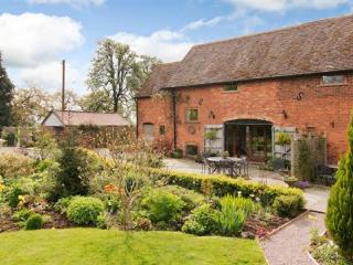
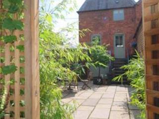
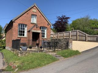
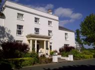
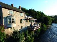
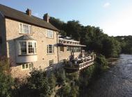
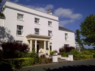
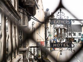
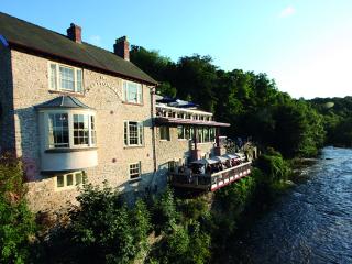
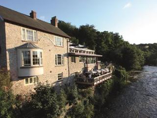
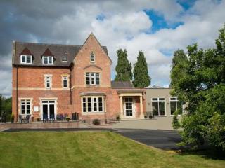
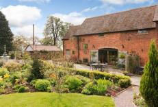
Nearby places to stay
View all (8)
- Total units: 1
- Private garden
- Washing machine
- Sky or freeview
- Private garden
- Washing machine
- Sky or freeview
- En suite


