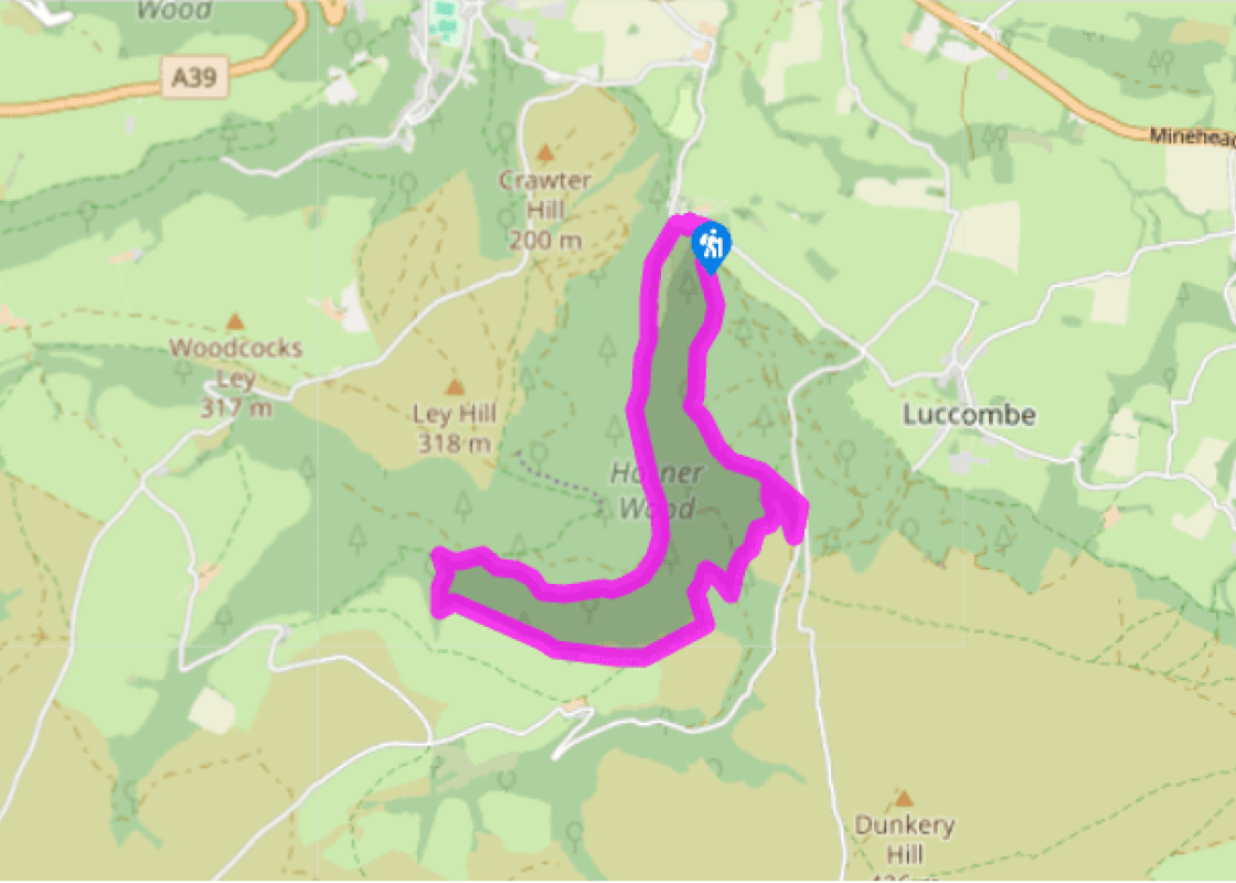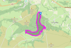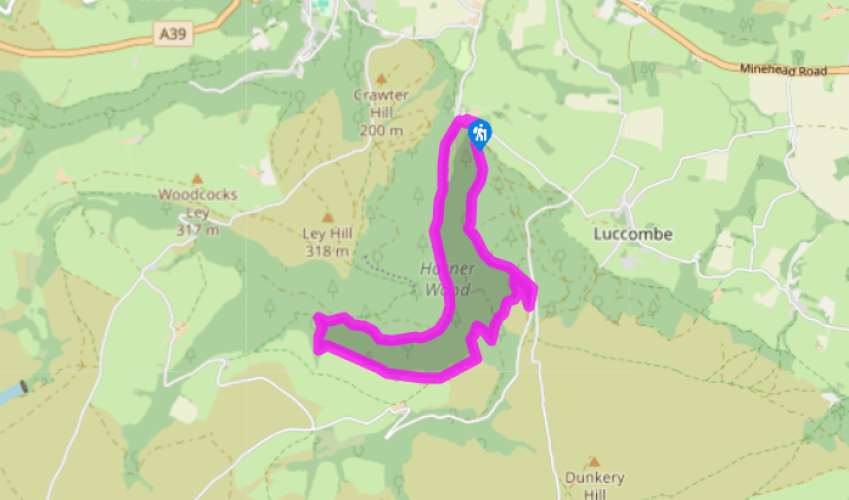
Horner's corners
Leave the National Trust car park in Horner village past the toilets and turn right to the track leading into Horner Wood. This crosses a bridge and passes a field before rejoining Horner Water. You can take a footpath alongside the stream instead of the track, they lead to the same place. Ignore the first footbridge, and continue along the obvious track to where a sign, 'Dunkery Beacon', points to the left towards a second footbridge.
Ignore this footbridge as well. Keep on the track for another 100yds (91m), then fork left on a path alongside West Water. This rejoins the track, and after another 0.5miles (800m) alongside the track is another footbridge.

Been on this walk?
Send us photos or a comment about this route. Or recommend a route of your own.

Walking in Safety
Read our tips to look after yourself and the environment when following this walk.

Get an AA guide
Explore our range of ‘50 Walks in’ guides - they’re the ideal companion for a ramble.
Been on this walk?
Send us photos or a comment about this route. Or recommend a route of your own.
Walking in Safety
Read our tips to look after yourself and the environment when following this walk.
Get an AA guide
Explore our range of ‘50 Walks in’ guides - they’re the ideal companion for a ramble.

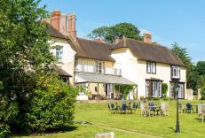
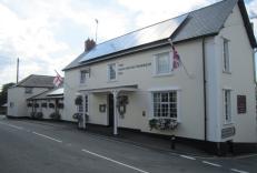
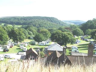
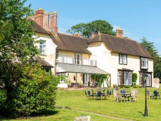
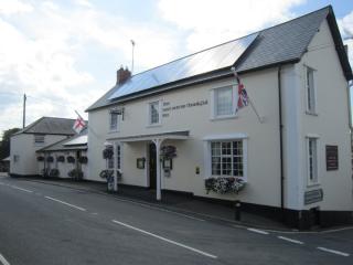
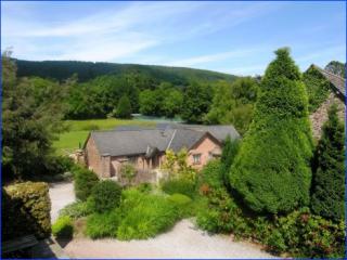
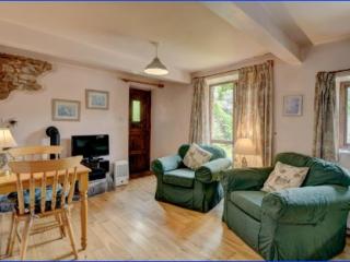
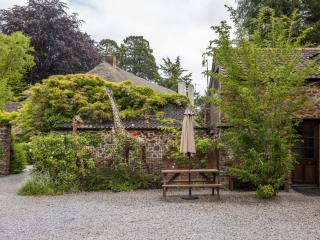
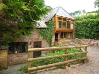
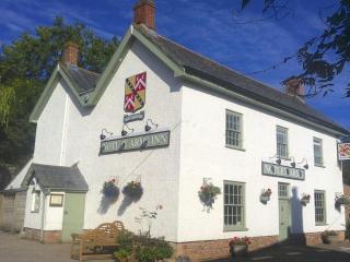
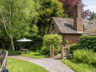
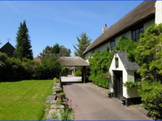
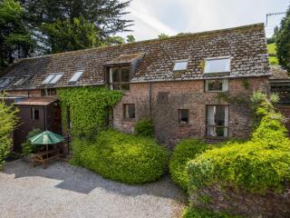
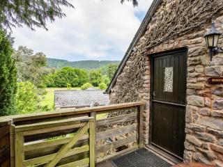
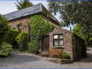
Nearby places to stay
View all (8)

- Launderette
- Ice pack facility
- BBQ
- Shop onsite