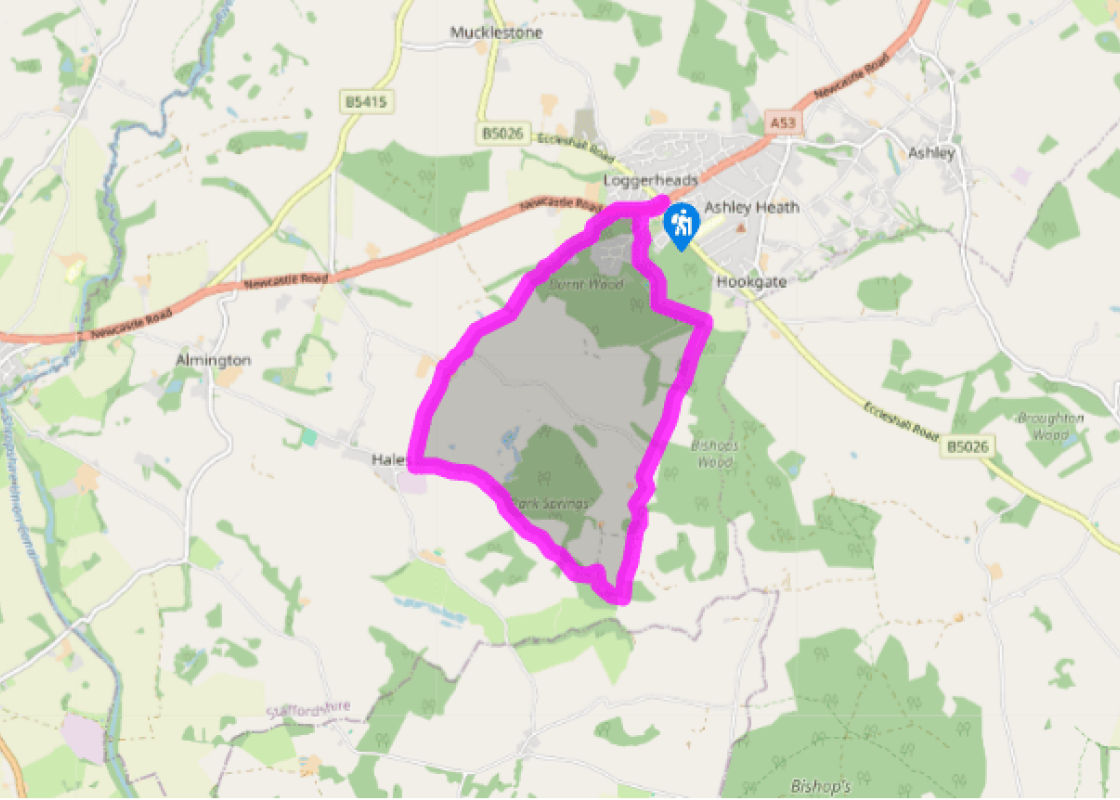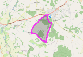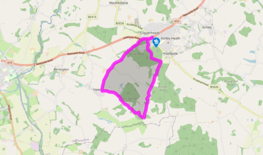
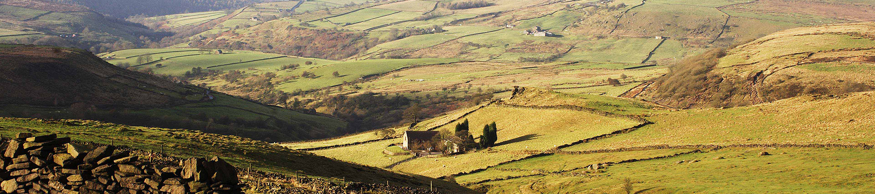
Loggerheads
Head along the A53 in the direction of Market Drayton and take the first left along Kestrel Drive. Just after The Robins head left along a woodland track down the back of some houses keeping the high panel fence to your right. When you reach the end of a cul-de-sac, go left on a woodland track with roofs of bungalows visible to your left turn onto the track to the right. After 219 yards (200m) with the Loggerheads Football Club buildings on your left bear left across the clearing and past an iron bar across a wide track and, at the fork, go right, past the football pitch, then turn left uphill take the track uphill. Where this forks go right along the edge of the football pitch and at the end of the pitch turn left uphill to reach a major path junction.
Take the fourth path on your left and where this bends left at the far end, follow a narrow path through the undergrowth ahead right to reach a wide gravel track. Turn right through the gate and continue for 0.5 miles (800m), until the main track goes right.

Been on this walk?
Send us photos or a comment about this route. Or recommend a route of your own.

Walking in Safety
Read our tips to look after yourself and the environment when following this walk.

Get an AA guide
Explore our range of ‘50 Walks in’ guides - they’re the ideal companion for a ramble.
Been on this walk?
Send us photos or a comment about this route. Or recommend a route of your own.
Walking in Safety
Read our tips to look after yourself and the environment when following this walk.
Get an AA guide
Explore our range of ‘50 Walks in’ guides - they’re the ideal companion for a ramble.
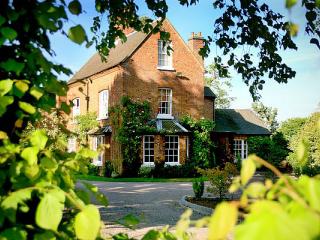
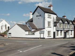
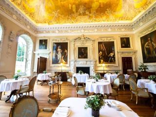
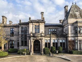
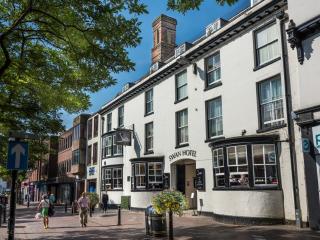
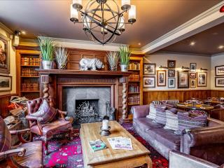
Nearby places to stay
View all (8)