
Leigh and the Upper Mole Valley
Recommended by

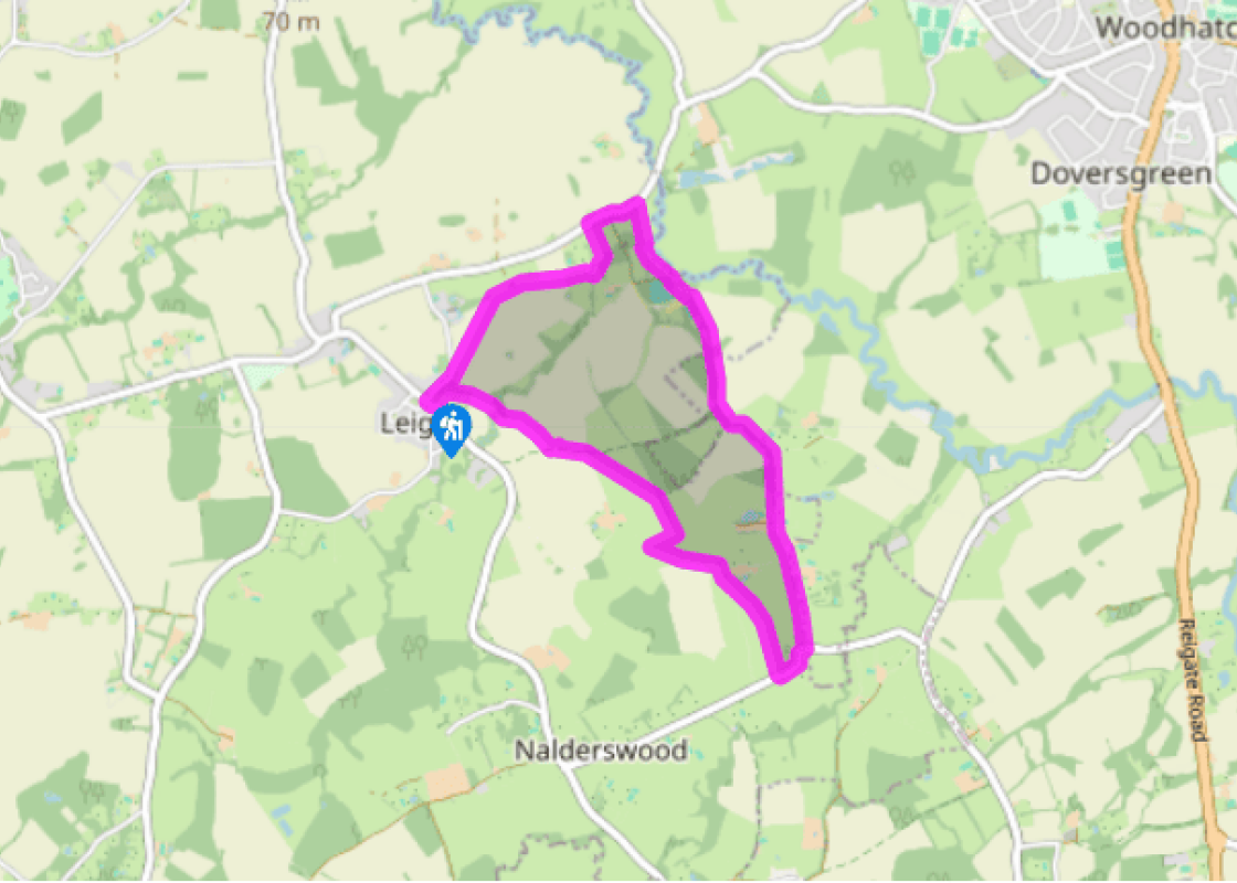
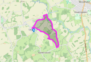
Walk directions
Start at the village pump on the green and take the signed footpath through the churchyard, through a kissing gate and then across a field to reach a footbridge. Cross the brook, and the waymarked stile and plank bridge 40yds (37m) further on, then continue with the hedge on your right to just beyond the far corner of the field. Cross the stile and plank bridge and turn left onto the blue-waymarked bridleway. After 100yds (91m), continue ahead, bearing right through a waymarked gate, and immediately turn half right across the field to a stile. Cross the next field to a stile beside a wood at the base of a small slope. Turn right over a stile, and up a short hill beside the woods. At the brow, you’ll come to a stile; don’t cross it, but turn right, towards the triangulation pillar (or trig point) across the field. There are some fine views from here.
Turn hard left at the trig point and double back to the far corner of the field. If you keep straight on beside the hedge you were following earlier, you are trespassing! Cross the stile in the corner of the field, then follow the succession of three waymarked stiles, two of which are alongside the driveway to Dene Farm, then cross the farm drive. Bear half right here, and cross the field to a plank bridge and stile. Continue through the next field and out onto Deanoak Lane.
View all directions
Additional information
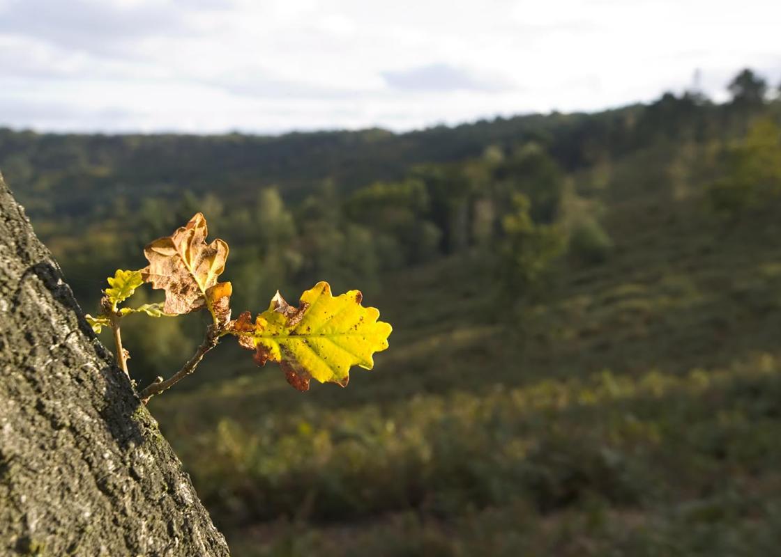
Terrain
- Field-edge and cross-field paths, 14 stiles
Landscape
- Low-lying, small-scale agricultural scenery
Dog friendliness
- Keep on lead near livestock; extra care required where bulls may be grazing in fields along the route
Parking
- Layby between The Plough and church in Leigh
Toilets en route
- None on route
About the walk
Leigh is one of those places that seems happy for history to pass it by. Indeed, part of its charm is that so little seems to have happened here recently. The walk starts on the picturesque village green, where the pub, church and adjoining Priest’s House all have their origins in the 15th...
Read more

Been on this walk?
Send us photos or a comment about this route. Or recommend a route of your own.

Walking in Safety
Read our tips to look after yourself and the environment when following this walk.

Get an AA guide
Explore our range of ‘50 Walks in’ guides - they’re the ideal companion for a ramble.
Been on this walk?
Send us photos or a comment about this route. Or recommend a route of your own.
Walking in Safety
Read our tips to look after yourself and the environment when following this walk.
Get an AA guide
Explore our range of ‘50 Walks in’ guides - they’re the ideal companion for a ramble.
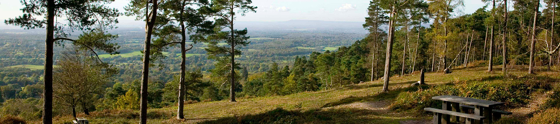
About the area
Surrey is one of England’s most wooded counties, with over a quarter of the landscape designated as an official AONB and plenty of history evident in the countryside. You’ll find sandy tracks, cottage gardens and welcoming village inns, and on the fringe of Greater London you can picnic in Chaldon’s hay meadows, explore the downs at Epsom, or drift idly beside the River Thames.
Nearby places to stay
View all (8)


Nearby places to stay
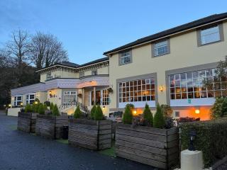
Reigate Manor
On the slopes of Reigate Hill, Reigate Manor is ideally located for access to the town and for motorway links. A range of public rooms is provided along with a variety of function rooms...
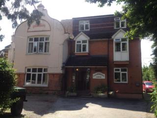
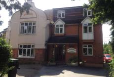
Gainsborough Lodge
Close to Gatwick, Gainsborough Lodge is a fine Edwardian house. Its bright, recently refurbished bedrooms are comfortably appointed, and a Continental breakfast is served in the-dining ...
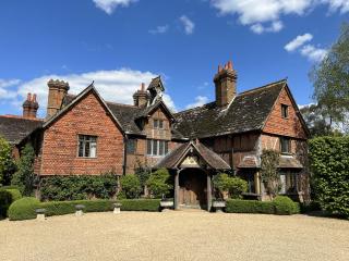
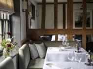
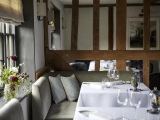
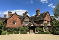
Langshott Manor
On the outskirts of Horley, Langshott Manor is a charming timber-framed Tudor manor house set amid beautifully landscaped grounds with an ancient moat. The stylish public areas feature ...
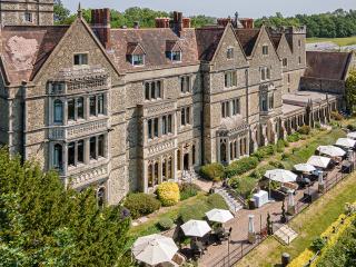
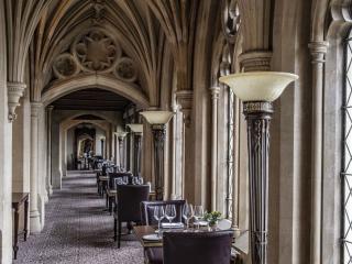
Nutfield Priory Hotel & Spa
Nutfield Priory is a country house that dates back to 1872 and is set in 40 acres of grounds with stunning views over the Surrey countryside. The hotel offers a range of individually ap...
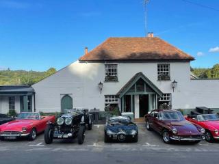
The Kings Head
Tucked away in a tranquil village in the Surrey Hills, The Kings Head offers three very comfy and stylish bedrooms. The team are extremely friendly and the kitchen sends out delicious a...

Holiday Inn London Gatwick Worth
Holiday Inn London Gatwick Worth is a convenient Gatwick hotel, just a 10-minute drive to London Gatwick Airport (LGW) and 3.5 miles from the Manor Royal District, making it ideal for b...
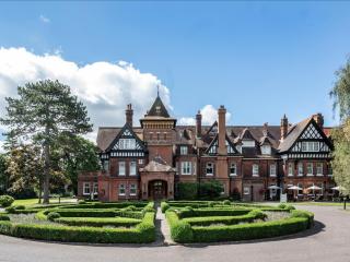
Woodlands Park Hotel
Originally built for the Bryant family of the matchmaking firm Bryant & May, the Woodlands Park Hotel, a traditional Victorian mansion, enjoys an attractive parkland setting in ten and ...
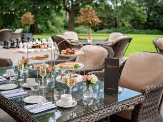
Edgeley Country Park
Within 45-minutes of central London and Gatwick Airport, but a whole world away from the stresses of everyday life, Edgeley Country Park is an idyllic retreat. Tucked away in 26 acres o...
Places to eat nearby View all