Newcastle and Gateshead
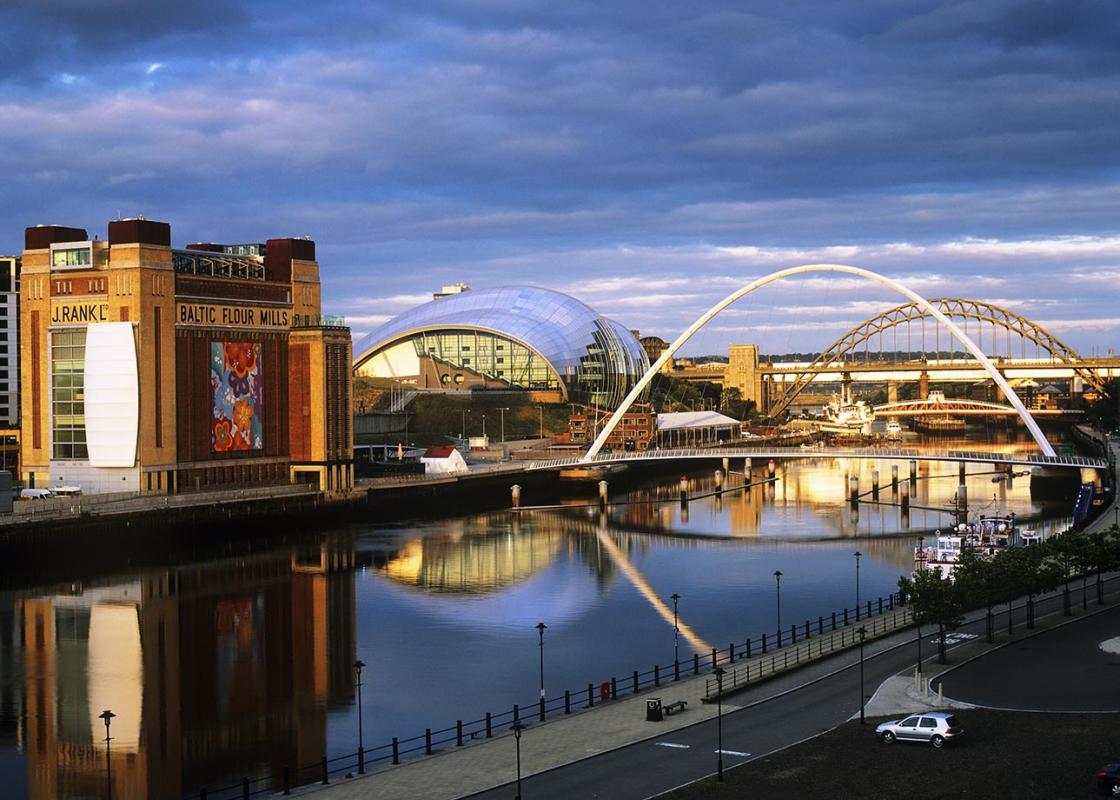
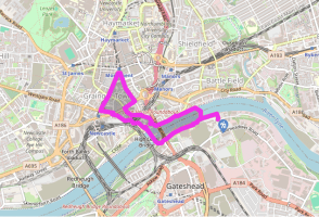
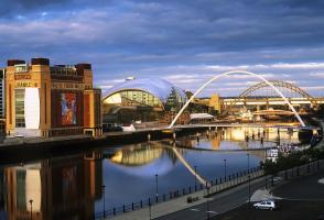
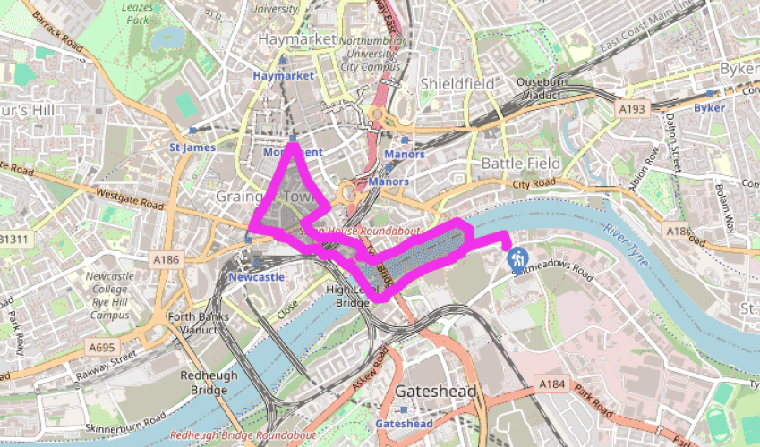
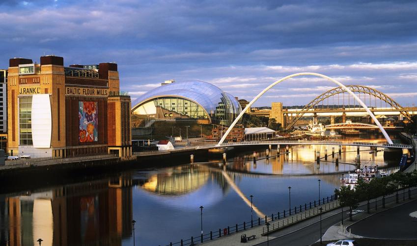
Leave the back of the car park and follow the waterfront left past Baltic, built as a flour mill in 1950 and subsequently rejuvenated as a centre for contemporary art, which opened in 2002. Entering Baltic Square beside the Millennium Bridge, walk up steps out to the road and follow it right past the Sage, three separate music performance and conference spaces enclosed within a single glass-and-steel cocoon. Walk beneath the iconic Tyne Bridge, opened in 1928 and high enough to allow shipping to pass up- and downriver. At the traffic lights, go right, crossing the swing bridge built 52 years earlier which still uses the original hydraulic mechanism invented by William Armstrong. Over to the left is Robert Stephenson's High Level Bridge, opened in 1849 and incorporating separate decks for rail and road.
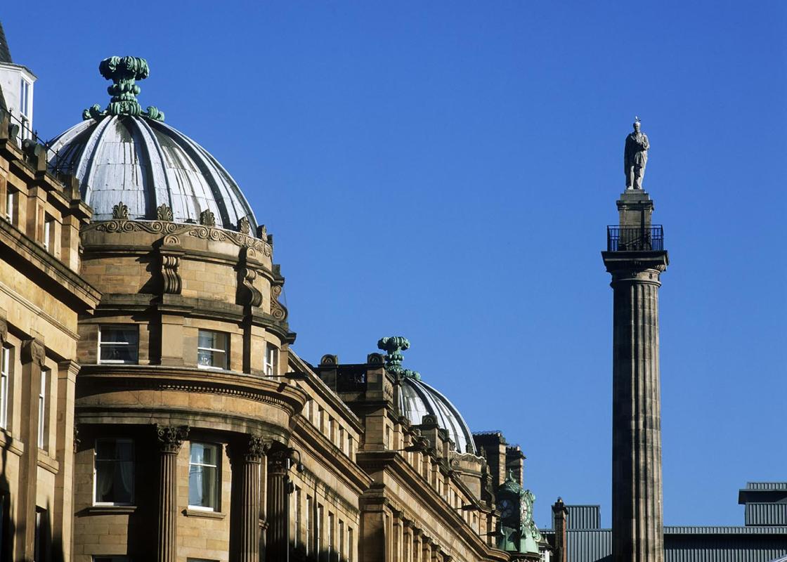
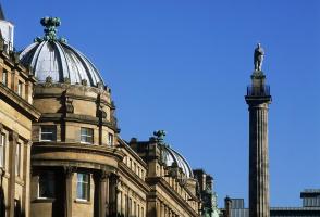
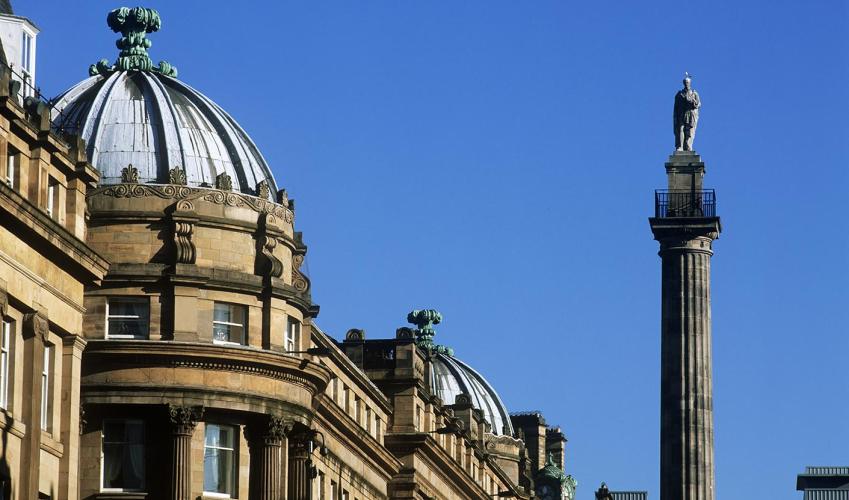
At the junction beyond, cross left to climb Castle Stairs, emerging through the old town walls. Bear left past Castle Keep and then right beneath a railway arch. Turn left opposite Black Gate into Westgate Road, which leads to a square presided over by a statue of George Stephenson. The fine railway station, ahead to the left along Neville Street, was designed by John Dobson, who, with Richard Grainger, was responsible for much of Newcastle's 19th-century architecture.

Been on this walk?
Send us photos or a comment about this route. Or recommend a route of your own.

Walking in Safety
Read our tips to look after yourself and the environment when following this walk.

Get an AA guide
Explore our range of ‘50 Walks in’ guides - they’re the ideal companion for a ramble.
Been on this walk?
Send us photos or a comment about this route. Or recommend a route of your own.
Walking in Safety
Read our tips to look after yourself and the environment when following this walk.
Get an AA guide
Explore our range of ‘50 Walks in’ guides - they’re the ideal companion for a ramble.

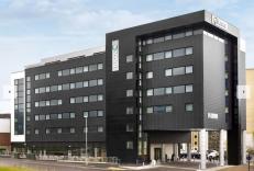
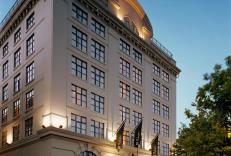
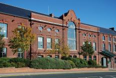
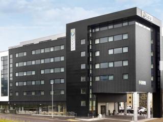
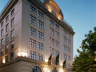
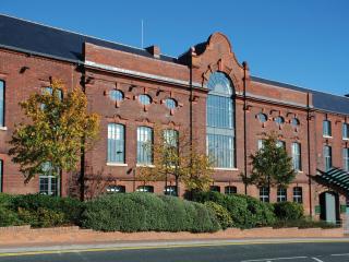
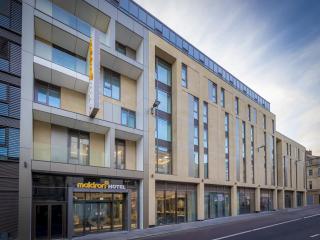
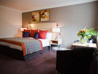
Nearby places to stay
View all (8)