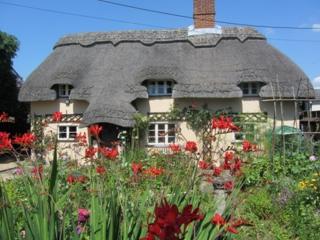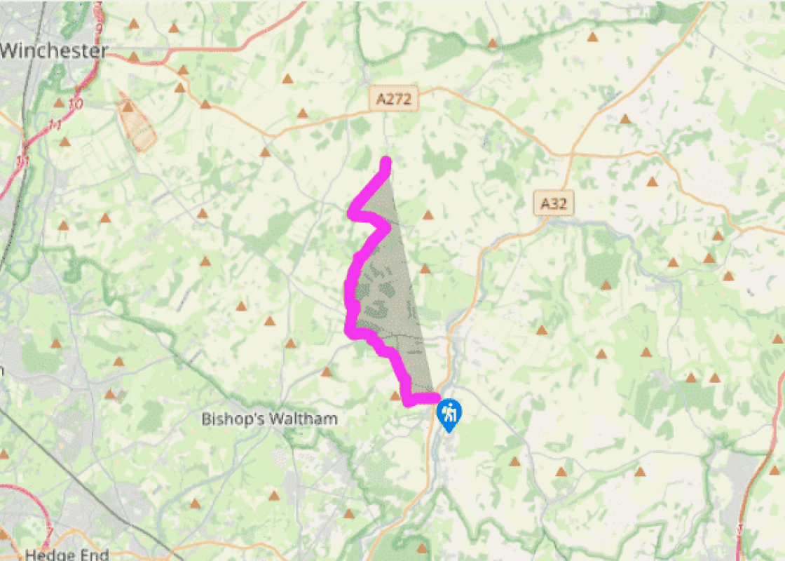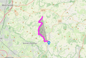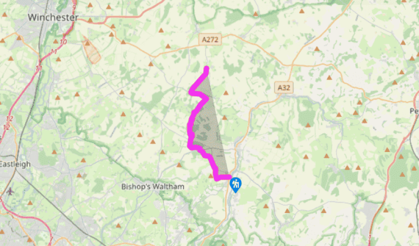
Wayfarer's Walk: Droxford to Kilmeston
From the church entrance in Droxford the Wayfarer’s Walk heads west across the A32 into Park Lane. At the first junction go straight over, passing Droxford School on the left. Continue in a westerly direction, following a green lane with pleasant views and then north, trekking along woodland paths close to the greens and fairways of Corhampton Golf Club.
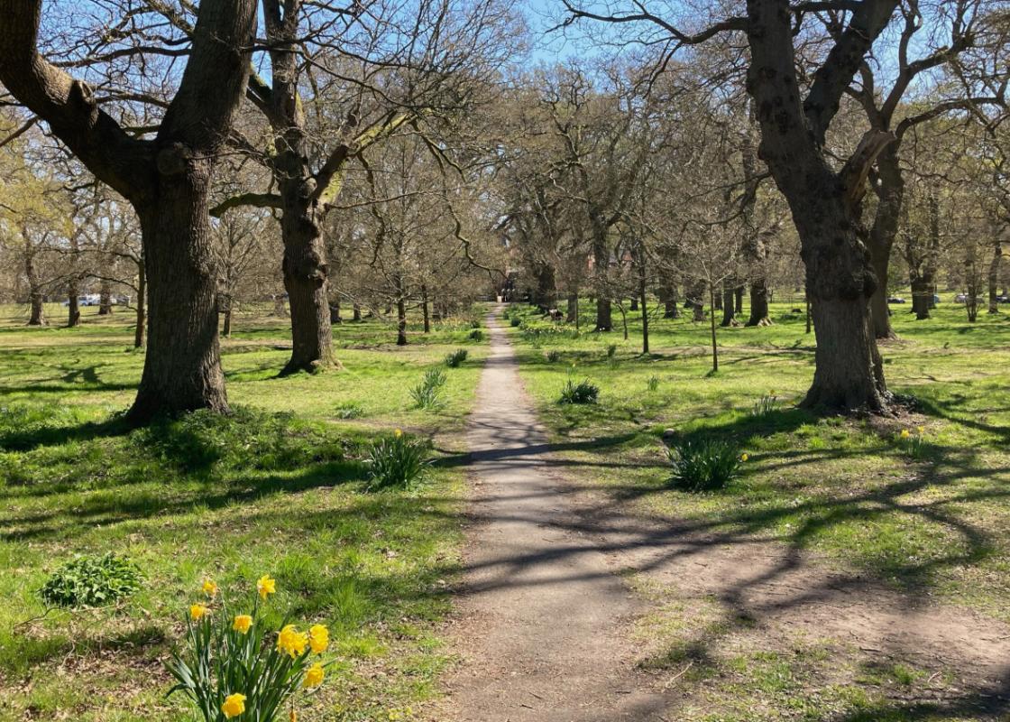
Beyond the B3035 the route passes the buildings of Steynes Farm and St Clair’s Farm. Further north, in the vicinity of Norway spruce and Canadian pines, the walk reaches the strangely named Betty Munday’s Bottom. This entire area is peaceful and remote, one of the least inhabited stretches of the route. Away to the right lies Lomer, the site of a medieval village, which died out thanks to poor harvests and plague in the late-14th-century. A scheduled ancient monument, the original village never fully recovered from such devastation and gradually it disappeared.

Been on this walk?
Send us photos or a comment about this route. Or recommend a route of your own.

Walking in Safety
Read our tips to look after yourself and the environment when following this walk.

Get an AA guide
Explore our range of ‘50 Walks in’ guides - they’re the ideal companion for a ramble.
Been on this walk?
Send us photos or a comment about this route. Or recommend a route of your own.
Walking in Safety
Read our tips to look after yourself and the environment when following this walk.
Get an AA guide
Explore our range of ‘50 Walks in’ guides - they’re the ideal companion for a ramble.
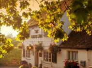
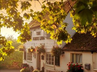
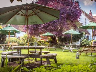
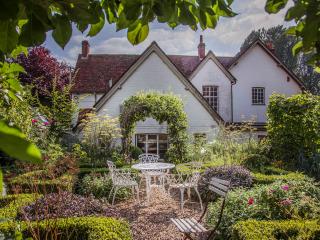
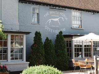
Nearby places to stay
View all (8)