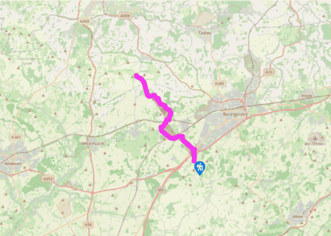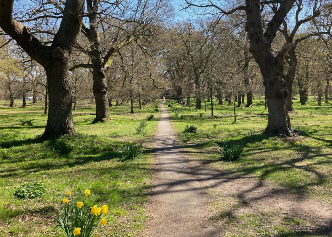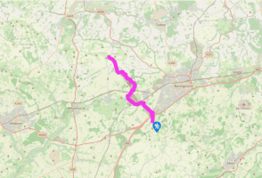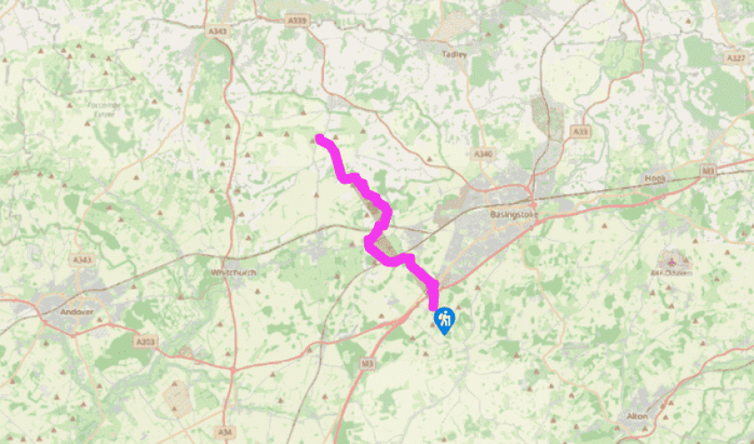
Wayfarer's Walk: Dummer to White Hill
From Dummer parish church head north along the village street, passing the Queen pub on the left. Beyond the village, the road heads north, up towards the M3 roundabout. Pass the golf club on the right and at the next main junction, cross the slip road with extreme care. Traffic approaches at speed from the right. Continue on the pavement, go through the underpass and turn right. Keep to the pavement and when the road divides at the junction with the A30, follow it to the left and along to a lane on the right, signposted Oakley.
Take the lane and when it bears left by a sign for Southwood Farm, go straight on through a gate by a sign for the Wayfarer’s Walk. A pair of brick farm workers’ houses can be seen to the right. Follow the trail by the side of South Wood towards Bull’s Bushes Farm. At the farm outbuildings keep right and follow the path along the eastern and northern edges of Bull’s Bushes Copse, with its species of beech and Douglas fir. Join the road on a bend and keep ahead, joining a track at the next bend. Follow the trail across farmland, passing under a railway line, to emerge on the road by Cheesedown Farm. To continue on the Wayfarer’s Walk, turn right to the B3400 and cross over to the lane opposite.

Been on this walk?
Send us photos or a comment about this route. Or recommend a route of your own.

Walking in Safety
Read our tips to look after yourself and the environment when following this walk.

Get an AA guide
Explore our range of ‘50 Walks in’ guides - they’re the ideal companion for a ramble.
Been on this walk?
Send us photos or a comment about this route. Or recommend a route of your own.
Walking in Safety
Read our tips to look after yourself and the environment when following this walk.
Get an AA guide
Explore our range of ‘50 Walks in’ guides - they’re the ideal companion for a ramble.
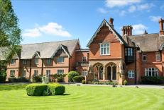
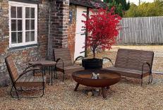
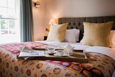
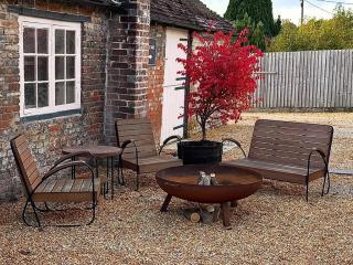
Nearby places to stay
View all (8)