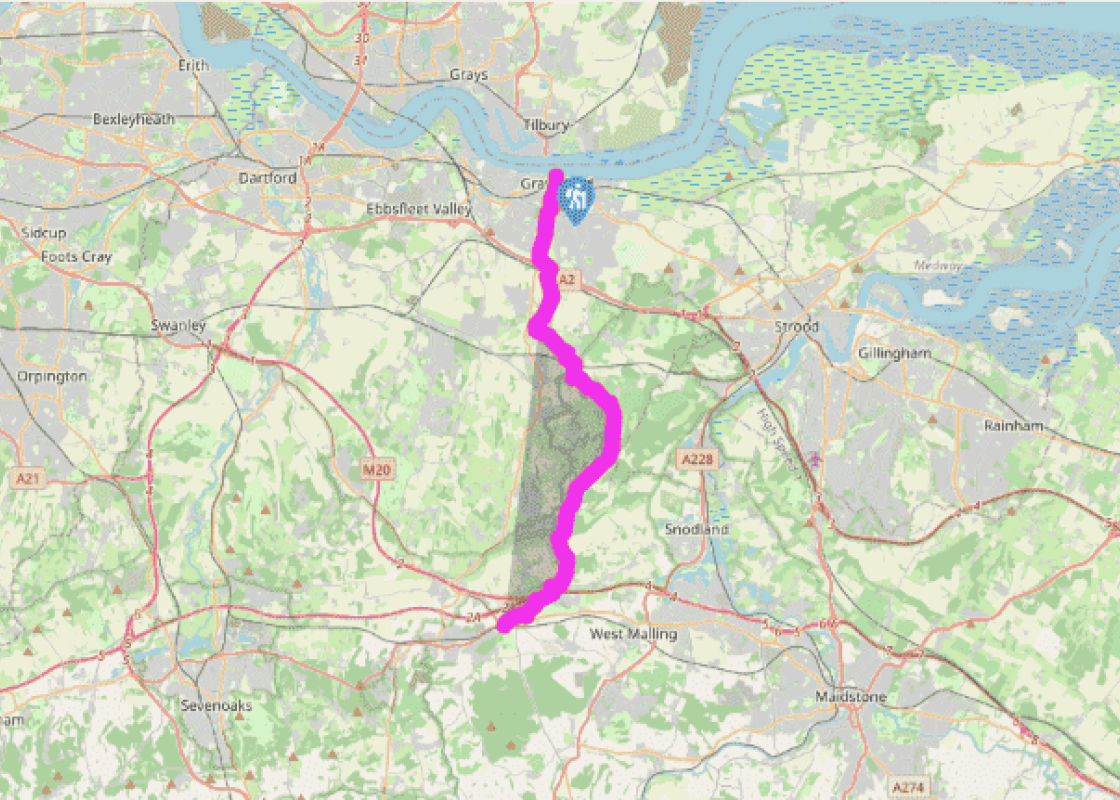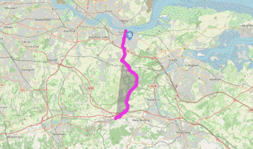
Wealdway: Gravesend to Wrotham Heath
From Sole Street, the Wealdway continues past the Railway Inn. After 200yds (183m), turn left on a rough track (not through the gate into Camer Park). The track leads up on to Henley Down, the first of the chalk hills of the North Downs, where, beyond a copse, there is a sudden broad view over the
Luddesdown valley. The Wealdway is now well way marked down to the hamlet of Luddesdown, which is a tiny but delightful group of buildings. Luddesdown Court (not, alas, open to the public) dates back, at least, to the 13th century and is said to be one of the oldest continuously lived-in houses in the country.
Beyond the church, walk between farm buildings and turn left on a good path for over a mile (1.6km) along the valley known as the Bowling Alley. At a road, turn right, immediately forking right again to pass Great Buckland Farm. A fork left here, off-route and another 0.25 miles (400m) along the valley, leads to the tiny church at Dode (now privately owned), parts of which are Norman. From Great Buckland, the Wealdway climbs steadily, overgrown in places, soon to run beside and then through Luxon Wood. After a short stretch of muddy bridleway, the route crosses a paddock to a road. Turn left and, where the road veers right, go ahead over a stile and shortly left over a second stile. Turn right to walk through two meadows and between barns to White Horse Road.

Been on this walk?
Send us photos or a comment about this route. Or recommend a route of your own.

Walking in Safety
Read our tips to look after yourself and the environment when following this walk.

Get an AA guide
Explore our range of ‘50 Walks in’ guides - they’re the ideal companion for a ramble.
Been on this walk?
Send us photos or a comment about this route. Or recommend a route of your own.
Walking in Safety
Read our tips to look after yourself and the environment when following this walk.
Get an AA guide
Explore our range of ‘50 Walks in’ guides - they’re the ideal companion for a ramble.
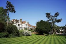
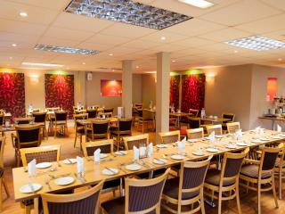
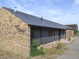
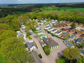
Nearby places to stay
View all (8)