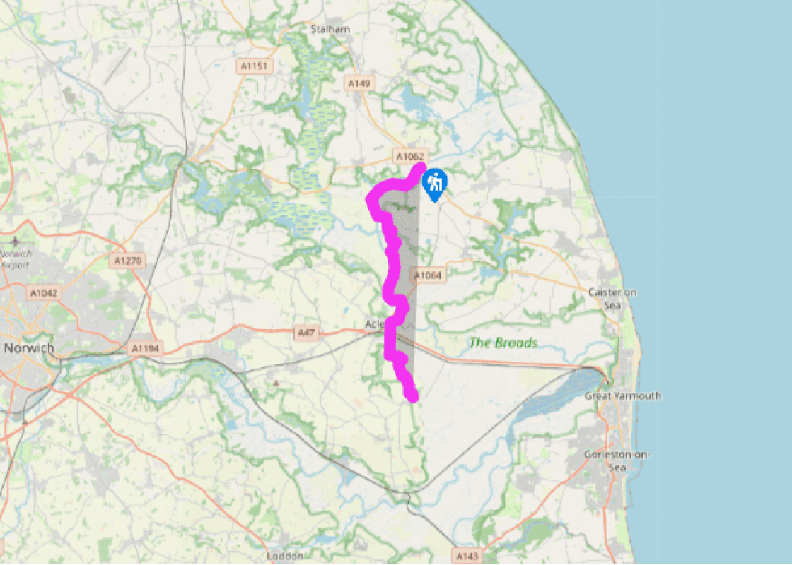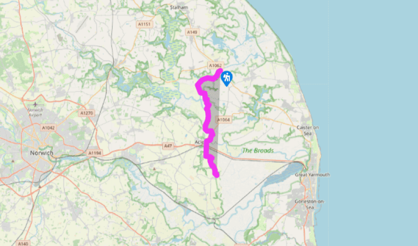
Weavers Way: Potter Heigham to Halvergate
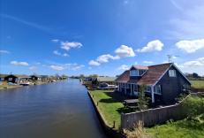
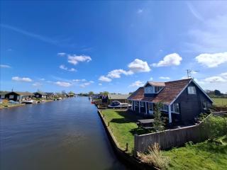
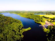
The Weavers’ Way crosses the ancient bridge at Potter Heigham and sets off on the south bank of the Thurne River in the direction of Thurne itself. As the walker leaves Potter Heigham behind, the chalets die out and the path becomes increasingly lonely, and the landscape increasingly beautiful. To the left, cattle graze contentedly in the low-lying meadows and the twin windmills of Thurne are visible around the bend in the river.
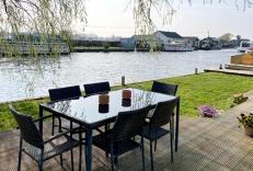
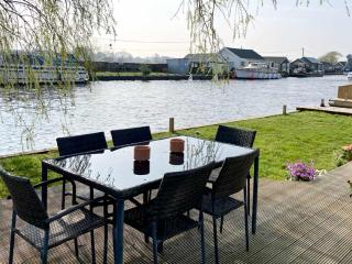
Eventually you approach the village. A few boats are moored up alongside the banks of the river,
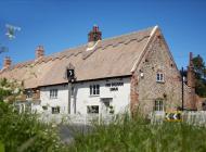
and the pub is probably doing good business, but Thurne is a wonderfully unspoilt place, cut off as it is and only approachable by car on small roads. To the west, across the river, are the remains of St Benet’s Abbey. This was an early foundation and was endowed with three manors by King Canute in 1020. It withstood attack by John Litester’s rebel peasants in 1381 and prospered until the Dissolution when it fell into ruins. An 18th-century windmill was built inside the gatehouse, and now little remains. The Bishop of Norwich, who also retains the title of Abbot of St Benet’s, arrives by boat at the Abbey once a year to conduct an open-air service among the ruins. Now make your way through a farm, across a couple of fields, past the 14th-century church and so across country and back to the river.

Been on this walk?
Send us photos or a comment about this route. Or recommend a route of your own.

Walking in Safety
Read our tips to look after yourself and the environment when following this walk.

Get an AA guide
Explore our range of ‘50 Walks in’ guides - they’re the ideal companion for a ramble.
Been on this walk?
Send us photos or a comment about this route. Or recommend a route of your own.
Walking in Safety
Read our tips to look after yourself and the environment when following this walk.
Get an AA guide
Explore our range of ‘50 Walks in’ guides - they’re the ideal companion for a ramble.
Nearby places to stay
View all (8)