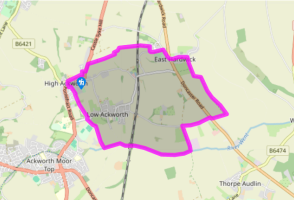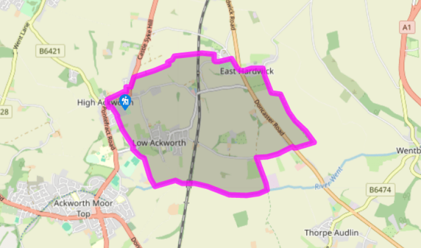
High Ackworth and East Hardwick
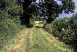
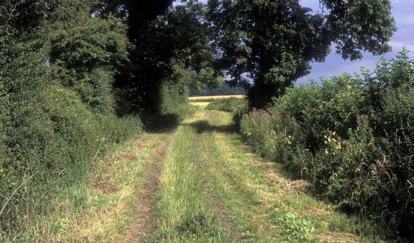
From the top of the village green, take a narrow alley immediately to the right of Manor House. Beyond a stile made of stone slabs, keep by the righthand edge of a field to another stile. Another passage leads out into Woodland Grove; walk left then first right to meet the A628, Pontefract Road. Go left for just 100yds (91m), crossing to a signed gap in the hedgerow (opposite a house called Tall Trees). Guided by the left-most finger, head across to a tiny footbridge over a beck at the far side. Continue along the right-hand edge of the next two fields. In the third, dogleg left and right to continue beside the hedge, which then curves left. After some 150yds (137m), watch for a waymarked path striking right, due east across the open field. Continue across a second field to a bridge spanning a railway.
Continue between fields towards Hundhill Farm. By the farm, turn within the field corner along its bottom edge to a stile. Emerging on to a lane, go left, walking 100yds (91m) to round a bend. Immediately after, go over a stile on the right to follow an enclosed path. Beyond the next stile, turn right along a minor road that soon meets the A639. Cross to Darrington Road opposite, and walk into the village of East Hardwick. Where the road swings left, look out for a bridleway sign on your right, just before a house fittingly called Bridleways.

Been on this walk?
Send us photos or a comment about this route. Or recommend a route of your own.

Walking in Safety
Read our tips to look after yourself and the environment when following this walk.

Get an AA guide
Explore our range of ‘50 Walks in’ guides - they’re the ideal companion for a ramble.
Been on this walk?
Send us photos or a comment about this route. Or recommend a route of your own.
Walking in Safety
Read our tips to look after yourself and the environment when following this walk.
Get an AA guide
Explore our range of ‘50 Walks in’ guides - they’re the ideal companion for a ramble.

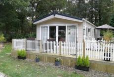
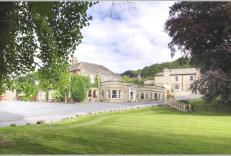
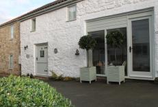
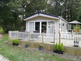
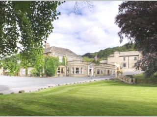
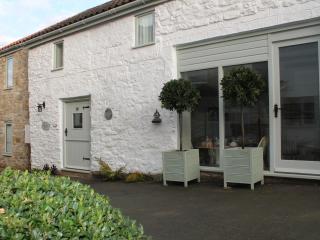
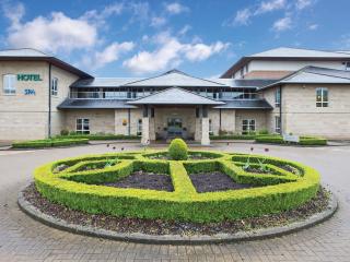
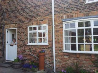
Nearby places to stay
View all (8)