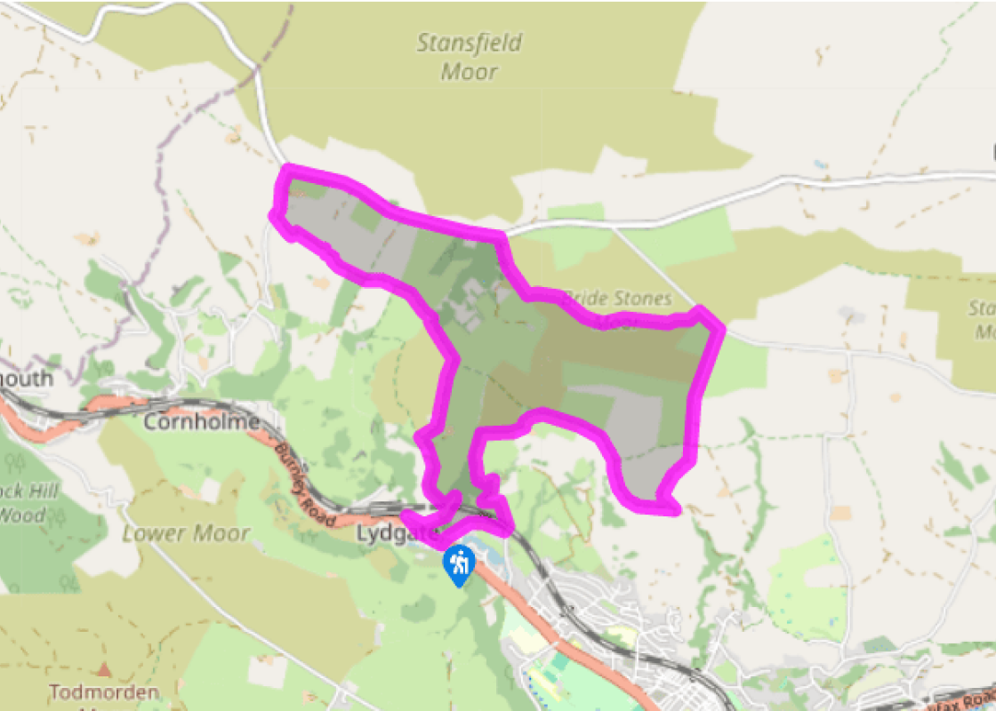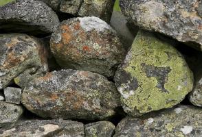
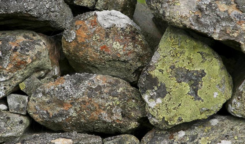
The Bridestone Rocks from Lydgate
Recommended by

"Ancient tracks and gritstone outcrops, with terrific views of the steep-sided Cliviger Valley."
Walk directions
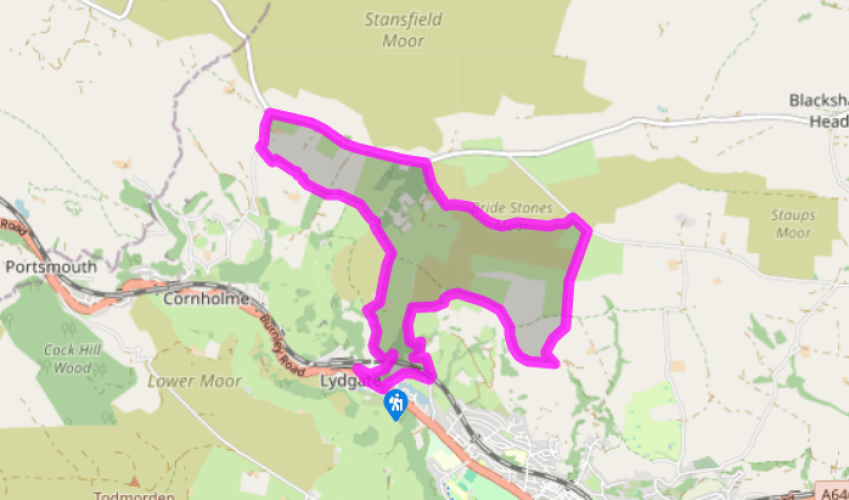
From the post office in Lydgate, take Church Road. At the end go right into Owlers Walk and continue along a contained path. Meeting a track at its end, follow it beneath a railway bridge and up to Stannally Farm. Walk past the buildings and swing right as the track zig-zags steeply up the wooded hillside. Eventually breaking out onto the edge of open moor, it swings right towards a farm. Pass on the left of the farmhouse and then bear left up a narrower walled track. When you meet another walled track, go right towards a rocky outcrop on the first horizon. Beyond two gates, the path crosses onto the rough common that aprons Whirlaw Stones.
A causeway path skirts the base of the outcrop, giving panoramic views of the Cliviger Valley, Todmorden and Stoodley Pike. Keep going through gates until you reach a junction above East Whirlaw Farm. There turn sharp left along a stony track that winds up beside the outcrop to meet the end of Windy Harbour Lane. Carry on up the lane, which shortly leads to Eastwood Road. Go left for just 150yds (137m). Where the wall ends, take a kissing gate on the left. A grassy path leads you to another fascinating collection of rocks, known as the Bridestones.
View all directions
Additional information
Terrain
- Moorland and packhorse paths, some quiet roads, several stiles
Landscape
- Steep-sided valley and open moorland
Dog friendliness
- Keep on lead along lanes and near grazing sheep
Parking
- Roadside parking in Lydgate, 1.5 miles (2.4km) out of Todmorden, on A646, signposted to Burnley
Toilets en route
- None on route
About the walk
The Long Causeway, between Halifax and Burnley, is an ancient trading route, possibly dating back to the Bronze Age. Crosses and waymarker stones helped to guide travellers across the moorland wastes, though most of them have been lost or damaged in the intervening years. Amazingly, Mount Cross has...
Read more

Been on this walk?
Send us photos or a comment about this route. Or recommend a route of your own.

Walking in Safety
Read our tips to look after yourself and the environment when following this walk.

Get an AA guide
Explore our range of ‘50 Walks in’ guides - they’re the ideal companion for a ramble.
Been on this walk?
Send us photos or a comment about this route. Or recommend a route of your own.
Walking in Safety
Read our tips to look after yourself and the environment when following this walk.
Get an AA guide
Explore our range of ‘50 Walks in’ guides - they’re the ideal companion for a ramble.
About the area
Everybody knows that Yorkshire has some special landscapes. The Dales and the Moors first spring to mind, but what about West Yorkshire? That’s Leeds and Bradford isn’t it? Back-to-back houses and blackened mills… Certainly if you had stood on any of the hills surrounding Hebden Bridge a hundred years ago, and gazed down into the valley, all you would have seen was the pall of smoke issuing from the chimneys of 33 textile mills.

Nearby places to stay
View all (8)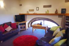
Self-Catering
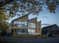
The Green Route Apartment

- Total units: 1
- Washing machine
- Sky or freeview
- Linens provided
Nearby places to stay
The Green Route Apartment
Comfortable, tastefully furnished and close to the town centre in Todmorden, the Green Route Apartment is a perfect spot for exploring the town’s cobbled streets, the Calder Valley and ...
The Green Route Apartment
Comfortable, tastefully furnished and close to the town centre in Todmorden, the Green Route Apartment is a perfect spot for exploring the town’s cobbled streets, the Calder Valley and ...
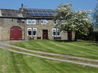
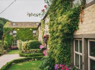
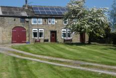
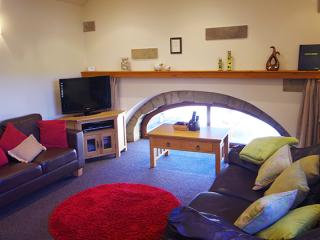
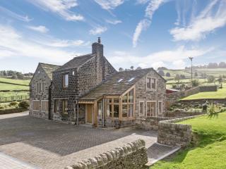
Pennine Cottage
A Self-Catering Cottage offering spectacular panoramic views and set within an established sheep farm which has been in the same family for over 60years. There are three bedrooms consis...
Pennine Cottage
A Self-Catering Cottage offering spectacular panoramic views and set within an established sheep farm which has been in the same family for over 60years. There are three bedrooms consis...
Stormer Hill
Situated in Littleborough in the Upper Roch Valley of the Pennines, Stormer Hill is a luxury holiday apartment in the sensitively converted Bar House, which dates to 1838. There are exc...
Stormer Hill
Situated in Littleborough in the Upper Roch Valley of the Pennines, Stormer Hill is a luxury holiday apartment in the sensitively converted Bar House, which dates to 1838. There are exc...
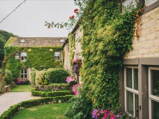
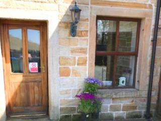
Sands Farm Cottage
Sands Farm is a beautifully renovated stone-built cottage set in peaceful countryside, offering picturesque views over the valley. There are two bedrooms, one en suite and the other wit...
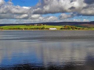
Hollingworth Lake Caravan Park
A popular park adjacent to Hollingworth Lake, at the foot of the Pennines, within easy reach of many local attractions. Backpackers walking the Pennine Way are welcome at this family-ru...
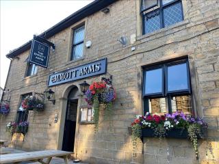
Places to eat nearby View all