Home>
Walks>
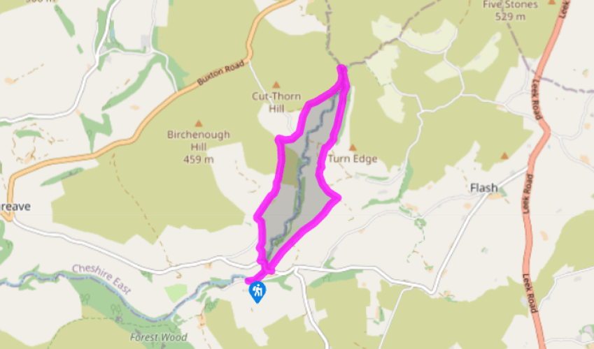
Where three counties meet by Burntcliff Top
Where three counties meet by Burntcliff Top
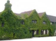
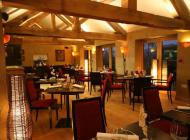
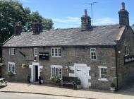
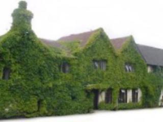
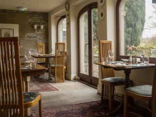
Recommended by
Our view
"A scenic packhorse bridge in the Dane valley is where three Peak District counties meet."
Walk directions
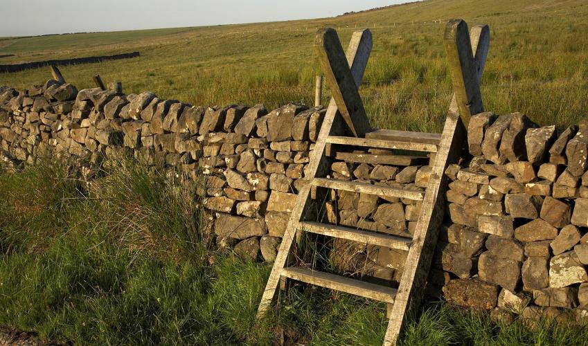
From the far (eastern) end of the car park, take the short access path parallel to the road to the footbridge across the stream. Go over this and head half right to follow the bank of the River Dane. As the road bridge comes into view, go over to the gate in the wall on the right.
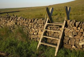
Turn right along the road, then just after the sharp bend turn left for a public footpath past Dane View House. With the buildings over to your left, go through the gate by the cattle trough and out across a succession of fields, staying close to the wall on your left.
After 0.5 miles (800m) the wall on your left ends. Continue straight on, and after some rougher ground go left at a signpost for ‘Three Shires Head’. Follow a clear grassy track through a gate and swing gradually right, across the sloping hillside. At another solitary signpost join an unmade track and continue in the same direction.
After 200yds (183m), and as the track dips downhill, go half right through a wall gap for a signposted public footpath slanting up across the rough pasture. Keep to the left of two hawthorn trees, and continue climbing the mostly pathless hillside until you reach a footpath sign on the track above.
Turn left and follow this popular, walled track all the way along the narrowing valley to the packhorse bridge at Three Shire Heads.
Cross the bridge and turn left on a track high above the river. After 650yds (594m) go left on a path down the hillside and through a wall gate. Continue in the same direction across the open slope and at the corner of two walls fork left, aiming for the house below.
Turn left into the road (not the smaller driveway steeply down beside the buildings). Passing Knarr Farm on your left, follow this quiet, gated lane along the upper slopes of the valley for 1 mile (1.6km). About 150yds (137m) after Bennettsitch Farm take a signposted public footpath on the left.
Follow the path down beside a fence, through bracken and gorse, until after a gate and stile you reach the road at the bottom. Turn left, cross the road bridge by the chapel, then go right at the gate in the wall for the riverside route back to the car park.
Terrain
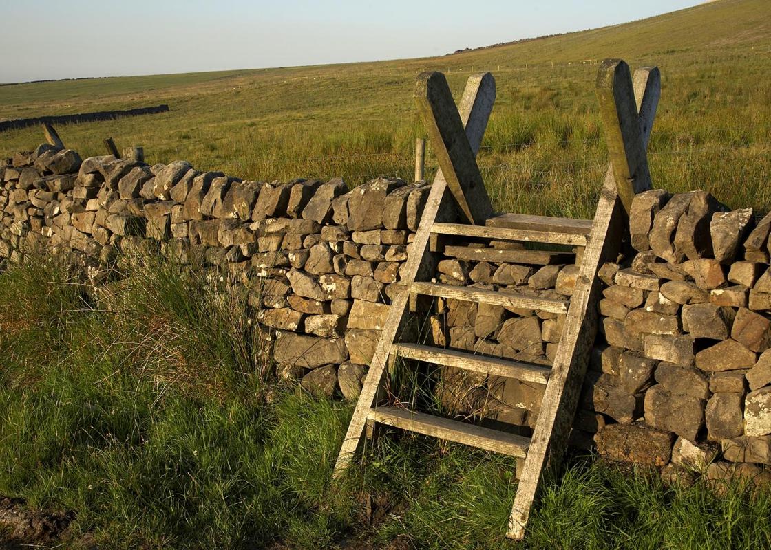
- Surfaced lanes and field paths, sometimes rough and potentially muddy
Landscape
- Rugged upland valley surrounded by moors
Dog friendliness
- Lead required around livestock
Parking
- Gradbach car park
Toilets en route
- None on route
About the walk
The well-known location where the three counties of Cheshire, Derbyshire and Staffordshire meet is called ‘Three Shire Heads’ on the Ordnance Survey map. However, many people, either through design or mistake, choose to spell it differently. On this walk you’ll pass a signpost erected by the Peak... and Northern Footpaths Society which opts for the more logical and tautologically pleasing ‘Three Shires Head’. Crossing the Dane The old packhorse bridge high above the youthful River Dane and surrounded by rolling moorland is a picturesque and evocative place. Below is Panniers Pool, more evidence that this was an important junction of several historic packhorse routes. Indeed, the walls of the bridge were deliberately left low to allow the laden beasts, with panniers strapped either side, to cross the river without having to unload. Trains of up to 40 or 50 animals would carry raw commodities like cloth, coal and hides, led by packhorsemen known as ‘jaggers’ (after their hardy breed of German Jaeger ponies). Salt would be brought across from the brine pits of Cheshire, while lead ore and lime was carried out of the Peak District. You approach Three Shire Heads on the eastern banks of the River Dane, when you’re in Staffordshire. As you are about to step on to the bridge you’re momentarily in Derbyshire, then when you reach the other side of the bridge you’re in Cheshire. Three counties in a matter of strides! Unlawful pursuits The location was traditionally known as Three Shire Stones, since it’s recorded in the early 1600s that three tall stones once stood here, one at the corner of each of the three counties, although there’s no trace of them today. In recent centuries, the proximity of three county borders has been used to devious ends. Unlawful pursuits such as cock-fighting and illegal bare-knuckle fights were held near the bridge, but when the police of one county turned up, the participants would simply cross over the water into the other and avoid arrest, and it was outside police jurisdiction. Another story involves the exchange of goods for counterfeit money, which was once made by a notorious gang in the nearby village of Flash. They used a button press to make fake coins, which subsequently became known as ‘Flash Money’.
"A scenic packhorse bridge in the Dane valley is where three Peak District counties meet."
Walk details
2hrs 30min
Difficulty:
Medium
Gradient:
Moderate
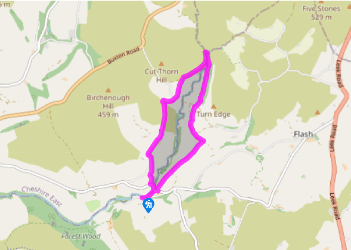
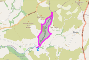
Distance:
4 miles (6.4kms)
Ascent:
669ft (204m)
Walk directions
From the far (eastern) end of the car park, take the short access path parallel to the road to the footbridge across the stream. Go over this and head half right to follow the bank of the River Dane. As the road bridge comes into view, go over to the gate in the wall on the right.
1 of 8
Turn right along the road, then just after the sharp bend turn left for a public footpath past Dane View House. With the buildings over to your left, go through the gate by the cattle trough and out across a succession of fields, staying close to the wall on your left.
2 of 8
After 0.5 miles (800m) the wall on your left ends. Continue straight on, and after some rougher ground go left at a signpost for ‘Three Shires Head’. Follow a clear grassy track through a gate and swing gradually right, across the sloping hillside. At another solitary signpost join an unmade track and continue in the same direction.
3 of 8
After 200yds (183m), and as the track dips downhill, go half right through a wall gap for a signposted public footpath slanting up across the rough pasture. Keep to the left of two hawthorn trees, and continue climbing the mostly pathless hillside until you reach a footpath sign on the track above.
4 of 8
Turn left and follow this popular, walled track all the way along the narrowing valley to the packhorse bridge at Three Shire Heads.
5 of 8
Cross the bridge and turn left on a track high above the river. After 650yds (594m) go left on a path down the hillside and through a wall gate. Continue in the same direction across the open slope and at the corner of two walls fork left, aiming for the house below.
6 of 8
Turn left into the road (not the smaller driveway steeply down beside the buildings). Passing Knarr Farm on your left, follow this quiet, gated lane along the upper slopes of the valley for 1 mile (1.6km). About 150yds (137m) after Bennettsitch Farm take a signposted public footpath on the left.
7 of 8
Follow the path down beside a fence, through bracken and gorse, until after a gate and stile you reach the road at the bottom. Turn left, cross the road bridge by the chapel, then go right at the gate in the wall for the riverside route back to the car park.
Terrain
- Surfaced lanes and field paths, sometimes rough and potentially muddy
Landscape
- Rugged upland valley surrounded by moors
Dog friendliness
- Lead required around livestock
Parking
- Gradbach car park
Toilets en route
- None on route
About the walk
The well-known location where the three counties of Cheshire, Derbyshire and Staffordshire meet is called ‘Three Shire Heads’ on the Ordnance Survey map. However, many people, either through design or mistake, choose to spell it differently. On this walk you’ll pass a signpost erected by the Peak... and Northern Footpaths Society which opts for the more logical and tautologically pleasing ‘Three Shires Head’. Crossing the Dane The old packhorse bridge high above the youthful River Dane and surrounded by rolling moorland is a picturesque and evocative place. Below is Panniers Pool, more evidence that this was an important junction of several historic packhorse routes. Indeed, the walls of the bridge were deliberately left low to allow the laden beasts, with panniers strapped either side, to cross the river without having to unload. Trains of up to 40 or 50 animals would carry raw commodities like cloth, coal and hides, led by packhorsemen known as ‘jaggers’ (after their hardy breed of German Jaeger ponies). Salt would be brought across from the brine pits of Cheshire, while lead ore and lime was carried out of the Peak District. You approach Three Shire Heads on the eastern banks of the River Dane, when you’re in Staffordshire. As you are about to step on to the bridge you’re momentarily in Derbyshire, then when you reach the other side of the bridge you’re in Cheshire. Three counties in a matter of strides! Unlawful pursuits The location was traditionally known as Three Shire Stones, since it’s recorded in the early 1600s that three tall stones once stood here, one at the corner of each of the three counties, although there’s no trace of them today. In recent centuries, the proximity of three county borders has been used to devious ends. Unlawful pursuits such as cock-fighting and illegal bare-knuckle fights were held near the bridge, but when the police of one county turned up, the participants would simply cross over the water into the other and avoid arrest, and it was outside police jurisdiction. Another story involves the exchange of goods for counterfeit money, which was once made by a notorious gang in the nearby village of Flash. They used a button press to make fake coins, which subsequently became known as ‘Flash Money’.