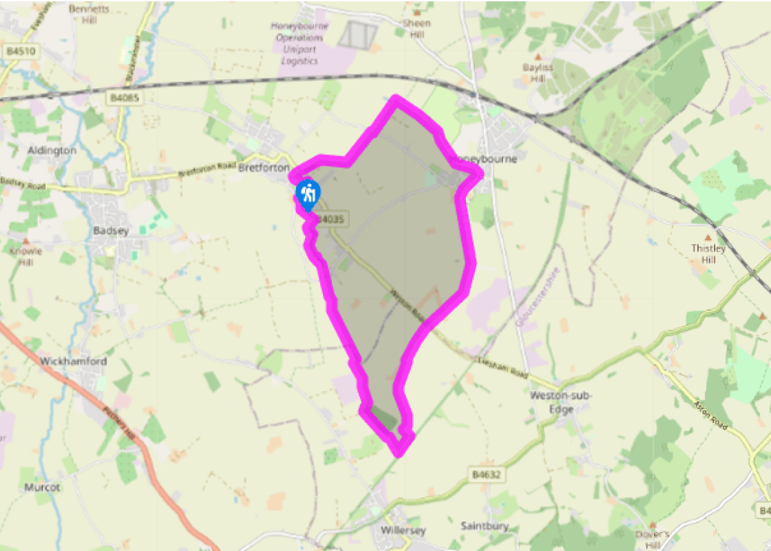
Walk past the front of the church, on Main Street, to School Lane and turn right. At end of the lane, cross the road taking a waymarked tarmac footpath, soon grass past the cemetery.
At a waymarked post 55yds (50m) from end of cemetery, cut across field at its narrowest point and bear right then left (at a 2nd waymarker) to a series of polytunnels. Turn right to run beside stream, then between the side of a polytunnel and a small reservoir. At a large ash tree, turn left and follow the track for 0.6 miles (1km) passing between more polytunnels and a hedge gap to a road.
Turn right then, in 16yds (15m), left at a waymarker, past a shack. With a hawthorn in front of you, follow the right side of the hedge for 0.25 miles (400m). Pass through a hedge gap and cross a long meadow, then a brook to a metal gate.
Turn right and follow the right-hand field edge/brook, between further gates towards static caravans. In 0.25 miles (400m) turn right across a footbridge. Here are some of your first glimpses of Dover’s Hill in the distance. Turn left keeping the brook and caravan site on your left, to an obvious stile. Continue on same line to pass beside stock fencing and a metal gate close to pale stone houses. Keeping houses on right, follow farm track crossing two further metal gates and exit paddock on far right, over a stile. Follow a narrow path for 21yds (20m) to gravel then keep same line to a road, arriving in Honeybourne.
Turn right. In 328yds (300m) turn left along Brick Walk towards the church. Follow the lane keeping the church on left and pass onto the playing field. Once again there are significant views of Dover’s Hill and the main Cotswold ridge. In 219yds (200m) cross a footbridge. Continue line across field to a hedge gap. To your right is Bredon Hill and, beyond, The Malverns. Cross an old concrete runway and strike half-right across a further field following waymarked posts aiming towards a clump of conifers and an industrial estate. In 109yds (100m), crossing a track at a waymarked post, now fork right keeping conifers and buildings away to your left and farm silos to right to a further waymarker. Now, with conifer half-left behind and hangar on left, head across field towards two solitary pines and a double H-pole, keeping silos on right when crossing a second disused runway. Cross a stile then, carefully, the road to a track leading to Saintbury Grounds Farm.
Follow the track for 547yds (500m). At the stone-pillared entrance to farm, follow waymarkers left to continue along a parallel track. As the track bears right to farm buildings, keep straight through hedge gap. Follow ditch edge and cross footbridge where a second ditch converges. Immediately strike half-left keeping the double electricity poles on right, to a hidden stile in the far hedge, approximately 109yds (100m) from field corner. Cross a thin meadow to a stile and footbridge. Go half-left to a post and rise in ground level next to a disused railway.
Now track right to cross the same field widthways to a hedge corner by poplars. Cross a stile. Keep hedge on right admiring the two vast oak trees as you pass to a hidden footbridge in the field corner. Continue along hedge line and pass through it, over another footbridge approximately 33yds (30m) before field corner. Turn immediately left, skirting remaining edge of poplar wood and at a wide clearing left to a lake.
With lake in front of you, turn right and follow field edge, through a gap, passing solar panels on left. Pass through five fields, keeping to the right hand field edge at all times. Cross a minor road and, once again, maintain the right hand field edge for a further four fields, gaining a view ultimately of Bretforton church. Approaching a minor road on a bend, turn immediately right across a footbridge and take the well-trodden path to another road with pavement. Turn left and left again in 164yds (150m) into Main Street, to return to the church and parking.
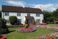
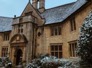
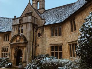
The village of Bretforton lies in the Vale of Evesham, a major fruit and vegetable growing area within Worcestershire. Indeed there is evidence of such produce being grown throughout this walk. One of the most well known pubs in Britain, The Fleece Inn’s name harks back to the biggest industry in... the nearby Cotswolds in medieval times – sheep. The, now rare breed, Cotswold Sheep was renowned for its wool and provided the area with the wealth and prosperity from its shaggy coat. The tiny timber-framed pub, now owned by The National Trust, was once a long house, a farm dwelling that originally housed both a farmer and his stock. The building, with walls that defy gravity, is more than picturesque and has a large orchard for a beer garden. With the area around Bretforton renowned for growing asparagus, The Fleece Inn is the leading venue for the annual British Asparagus Festival. Asparagus, thought of as an aphrodisiac and given to 19th-century bridegrooms because of its reputed powers, is celebrated all around the Vale of Evesham through many events during the Festival. The most famous is the annual Asparagus Auction, which takes place at The Fleece Inn followed by a Festival Day. The Festival takes place each year from St George’s Day (23 April) to Midsummer’s Day (21 June), which are the official start and end dates of the Vale asparagus season. The auction and main festival day happen over the Spring Bank Holiday weekend. Worth a small detour from the walk is a visit to All Things Wild, a zoo in the heart of a small Worcestershire village. Open all year round, with a wide range of small animals including monkeys, birds, insects and some not so small such as camels, rheas, zebras, snakes and caiman. Trails around various sections spotlight the farmyard, the outback and even the world of dinosaurs, on the Dino Land Train. A section of the walk crosses the old RAF Honeybourne Airfield, including two of the defunct runways. The airfield was opened in December 1940 and was initially used for the training of Canadian pilots. The airfield was later home to No. 24 Operational Training Unit RAF, which used Vickers Wellingtons and Armstrong Whitworth Whitleys flying many operational bombing and leaflet dropping operations, including several prior to the D-Day landings in northern France. With a reduction in flying movements after the World War II, the airfield was closed permanently in 1948, with most of the ground returning to agriculture.
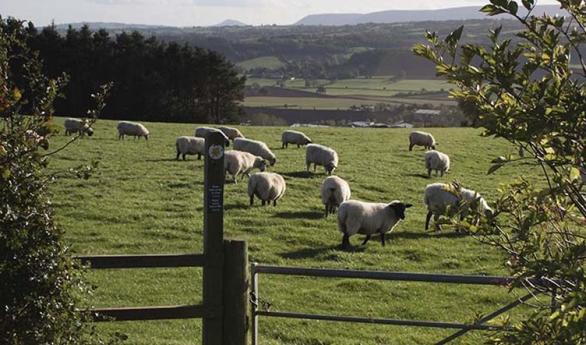
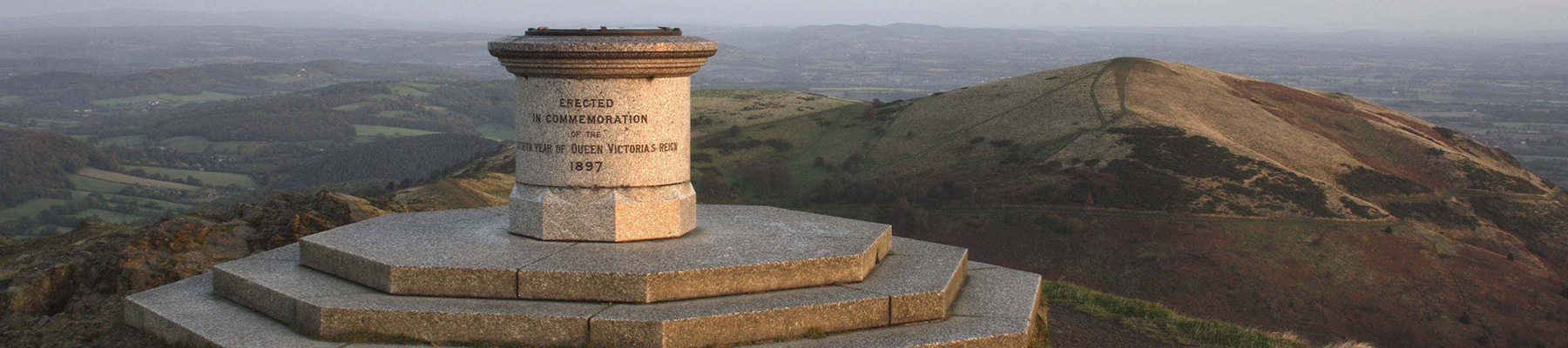
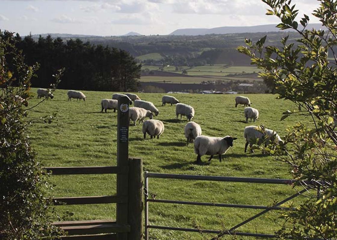
Worcestershire is a county of rolling hills, save for the flat Vale of Evesham in the east and the prominent spine of the Malverns in the west. Nearly all of the land is worked in some way; arable farming predominates – oilseed rape, cereals and potatoes – but there are concentrated areas of specific land uses, such as market gardening and plum growing.
Walk past the front of the church, on Main Street, to School Lane and turn right. At end of the lane, cross the road taking a waymarked tarmac footpath, soon grass past the cemetery.
1 of 8
At a waymarked post 55yds (50m) from end of cemetery, cut across field at its narrowest point and bear right then left (at a 2nd waymarker) to a series of polytunnels. Turn right to run beside stream, then between the side of a polytunnel and a small reservoir. At a large ash tree, turn left and follow the track for 0.6 miles (1km) passing between more polytunnels and a hedge gap to a road.
2 of 8
Turn right then, in 16yds (15m), left at a waymarker, past a shack. With a hawthorn in front of you, follow the right side of the hedge for 0.25 miles (400m). Pass through a hedge gap and cross a long meadow, then a brook to a metal gate.
3 of 8
Turn right and follow the right-hand field edge/brook, between further gates towards static caravans. In 0.25 miles (400m) turn right across a footbridge. Here are some of your first glimpses of Dover’s Hill in the distance. Turn left keeping the brook and caravan site on your left, to an obvious stile. Continue on same line to pass beside stock fencing and a metal gate close to pale stone houses. Keeping houses on right, follow farm track crossing two further metal gates and exit paddock on far right, over a stile. Follow a narrow path for 21yds (20m) to gravel then keep same line to a road, arriving in Honeybourne.
4 of 8
Turn right. In 328yds (300m) turn left along Brick Walk towards the church. Follow the lane keeping the church on left and pass onto the playing field. Once again there are significant views of Dover’s Hill and the main Cotswold ridge. In 219yds (200m) cross a footbridge. Continue line across field to a hedge gap. To your right is Bredon Hill and, beyond, The Malverns. Cross an old concrete runway and strike half-right across a further field following waymarked posts aiming towards a clump of conifers and an industrial estate. In 109yds (100m), crossing a track at a waymarked post, now fork right keeping conifers and buildings away to your left and farm silos to right to a further waymarker. Now, with conifer half-left behind and hangar on left, head across field towards two solitary pines and a double H-pole, keeping silos on right when crossing a second disused runway. Cross a stile then, carefully, the road to a track leading to Saintbury Grounds Farm.
5 of 8
Follow the track for 547yds (500m). At the stone-pillared entrance to farm, follow waymarkers left to continue along a parallel track. As the track bears right to farm buildings, keep straight through hedge gap. Follow ditch edge and cross footbridge where a second ditch converges. Immediately strike half-left keeping the double electricity poles on right, to a hidden stile in the far hedge, approximately 109yds (100m) from field corner. Cross a thin meadow to a stile and footbridge. Go half-left to a post and rise in ground level next to a disused railway.
6 of 8
Now track right to cross the same field widthways to a hedge corner by poplars. Cross a stile. Keep hedge on right admiring the two vast oak trees as you pass to a hidden footbridge in the field corner. Continue along hedge line and pass through it, over another footbridge approximately 33yds (30m) before field corner. Turn immediately left, skirting remaining edge of poplar wood and at a wide clearing left to a lake.
7 of 8
With lake in front of you, turn right and follow field edge, through a gap, passing solar panels on left. Pass through five fields, keeping to the right hand field edge at all times. Cross a minor road and, once again, maintain the right hand field edge for a further four fields, gaining a view ultimately of Bretforton church. Approaching a minor road on a bend, turn immediately right across a footbridge and take the well-trodden path to another road with pavement. Turn left and left again in 164yds (150m) into Main Street, to return to the church and parking.
The village of Bretforton lies in the Vale of Evesham, a major fruit and vegetable growing area within Worcestershire. Indeed there is evidence of such produce being grown throughout this walk. One of the most well known pubs in Britain, The Fleece Inn’s name harks back to the biggest industry in... the nearby Cotswolds in medieval times – sheep. The, now rare breed, Cotswold Sheep was renowned for its wool and provided the area with the wealth and prosperity from its shaggy coat. The tiny timber-framed pub, now owned by The National Trust, was once a long house, a farm dwelling that originally housed both a farmer and his stock. The building, with walls that defy gravity, is more than picturesque and has a large orchard for a beer garden. With the area around Bretforton renowned for growing asparagus, The Fleece Inn is the leading venue for the annual British Asparagus Festival. Asparagus, thought of as an aphrodisiac and given to 19th-century bridegrooms because of its reputed powers, is celebrated all around the Vale of Evesham through many events during the Festival. The most famous is the annual Asparagus Auction, which takes place at The Fleece Inn followed by a Festival Day. The Festival takes place each year from St George’s Day (23 April) to Midsummer’s Day (21 June), which are the official start and end dates of the Vale asparagus season. The auction and main festival day happen over the Spring Bank Holiday weekend. Worth a small detour from the walk is a visit to All Things Wild, a zoo in the heart of a small Worcestershire village. Open all year round, with a wide range of small animals including monkeys, birds, insects and some not so small such as camels, rheas, zebras, snakes and caiman. Trails around various sections spotlight the farmyard, the outback and even the world of dinosaurs, on the Dino Land Train. A section of the walk crosses the old RAF Honeybourne Airfield, including two of the defunct runways. The airfield was opened in December 1940 and was initially used for the training of Canadian pilots. The airfield was later home to No. 24 Operational Training Unit RAF, which used Vickers Wellingtons and Armstrong Whitworth Whitleys flying many operational bombing and leaflet dropping operations, including several prior to the D-Day landings in northern France. With a reduction in flying movements after the World War II, the airfield was closed permanently in 1948, with most of the ground returning to agriculture.
Worcestershire is a county of rolling hills, save for the flat Vale of Evesham in the east and the prominent spine of the Malverns in the west. Nearly all of the land is worked in some way; arable farming predominates – oilseed rape, cereals and potatoes – but there are concentrated areas of specific land uses, such as market gardening and plum growing.