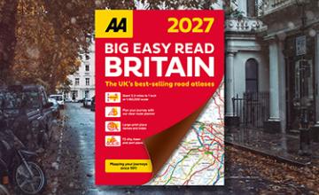
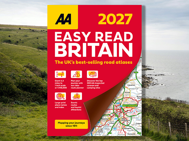
AA Easy Read Atlas Britain 2027
The UK’s best-selling road atlases*
The AA Easy Read Atlas 2027 provides up-to-date mapping from the experts at the AA. Presented in an A4 format with large-scale mapping and super clear index for easy use, each page has been titled with its geographical location so you can turn to the page you need with ease.
In addition to National Trust and World Heritage sites, the mapping also highlights tourist attractions, scenic routes, and other hard‑to‑find places. A full-colour admin map shows all the latest unitary authority areas, and a 6-page route planning map is provided. The top 300 AA-inspected caravan and camping sites, over 240 service areas and electric super hub charging points have also been included for your convenience.
ISBN: 978-0-7495-8453-5 (FB)
978-0-7495-8454-2 (SP)
Publication date: 12 March 2026
Pages: 376pp
Dimensions: 300 x 215mm (Flexibound) 300 x 222mm (Spiral)
Flexibound
Spiral Bound
*Nielsen BookScan Total Consumer Market (all road atlases) 1–39 weeks to 30 September 2025.