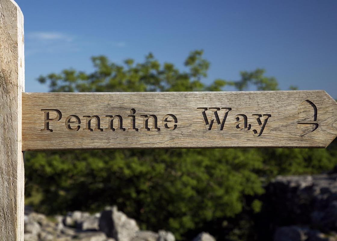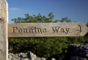
Around Lothersdale on the Pennine Way
Recommended by

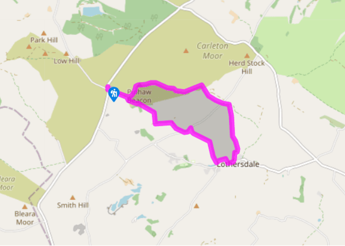
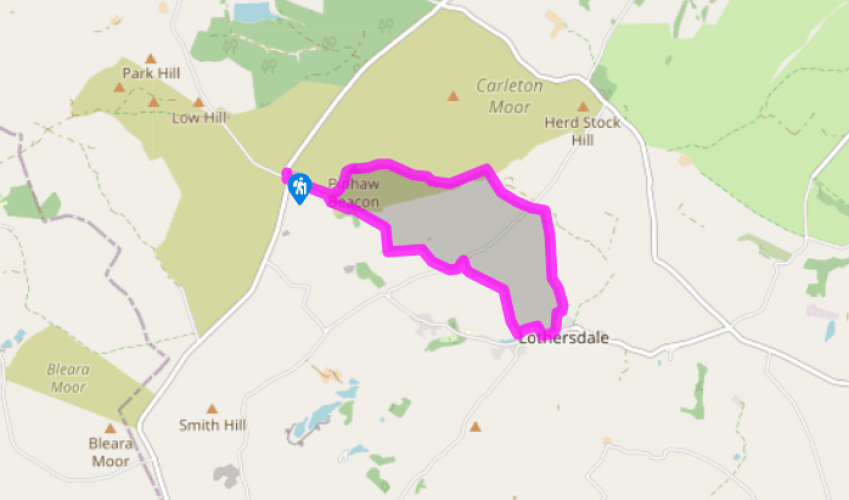
Walk directions
From the car park walk downhill towards the mast on the next hilltop. Just before the cattle grid, turn left up a signed track. At the next signpost turn right, off the track. Follow the wall, then bear left to cut off the corner as it bends left. Soon cross a stile in the wall on your right. Cross 3 more stiles then bear left, above a small plantation, then go diagonally right. Go over a stile and continue downhill with a wall on your right, which bends left to reach a signed stile onto a metalled drive.
Turn left along the drive. After the cattle grid, bear right along a concrete road and over another cattle grid. Emerge onto a metalled lane and turn left. Follow the lane as it dips to cross a small stream, then immediately turn right.
View all directions
Additional information
Terrain
- Tracks and field paths, some steep sections. 8 stiles
Landscape
- Pennine moorland, farmland and industrial relics
Dog friendliness
- Off lead on final section of walk, from Point 5 onwards
Parking
- Roadside parking on West Road, near junction
with Clogger Lane
Toilets en route
- None on route
About the walk
Set deep in the rolling countryside to the west of Keighley, Lothersdale is a village of gritstone houses and mill buildings – typical of the small settlements that grew up in the late 18th and early 19th centuries along the river valleys of the West Riding of Yorkshire. The mill dam that you will...
Read more

Been on this walk?
Send us photos or a comment about this route. Or recommend a route of your own.

Walking in Safety
Read our tips to look after yourself and the environment when following this walk.

Get an AA guide
Explore our range of ‘50 Walks in’ guides - they’re the ideal companion for a ramble.
Been on this walk?
Send us photos or a comment about this route. Or recommend a route of your own.
Walking in Safety
Read our tips to look after yourself and the environment when following this walk.
Get an AA guide
Explore our range of ‘50 Walks in’ guides - they’re the ideal companion for a ramble.
About the area
North Yorkshire, with its two National Parks and two designated Areas of Outstanding Natural Beauty, is England’s largest county and one of the most rural. This is prime walking country, from the heather-clad heights of the North York Moors to the limestone country that is so typical of the Yorkshire Dales – a place of contrasts and discoveries, of history and legend.

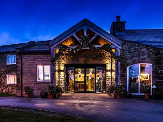
Nearby places to stay
View all (8)

Nearby places to stay
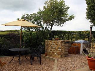
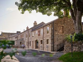
Shawclough Barn
High on the Lancashire and Yorkshire border, Shawclough Barn boasts breathtaking views from one of the highest hills in Pendle. Well-positioned for day trips to the Yorkshire Dales and ...
Shawclough Barn
High on the Lancashire and Yorkshire border, Shawclough Barn boasts breathtaking views from one of the highest hills in Pendle. Well-positioned for day trips to the Yorkshire Dales and ...
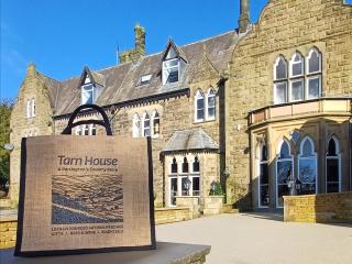
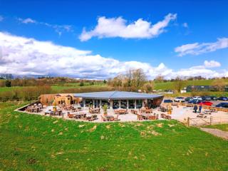
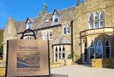
Tarn House Holiday Park
Tarn House Holiday Park is a pet friendly park just one mile from Skipton. It has stunning views of the Yorkshire Dales, and there is a licensed bar and restaurant in the 19th-century c...
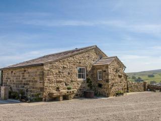
The Croft
Set in a high moorland location, with fabulous views, The Croft is beautiful, stone built, former farm building located in Trawden Forest on the outskirts of Trawden village. Just 5 mil...
The Croft
Set in a high moorland location, with fabulous views, The Croft is beautiful, stone built, former farm building located in Trawden Forest on the outskirts of Trawden village. Just 5 mil...
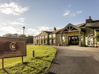
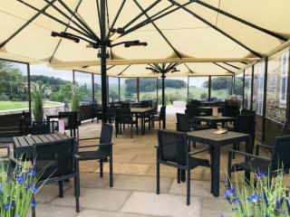
The Coniston Hotel Country Estate and Spa
The Coniston Hotel is privately owned and set on a 1,400-acre estate; a landmark destination hotel and country resort in the heart of the stunning North Yorkshire Dales. Bedrooms are co...
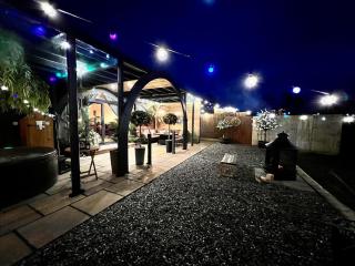
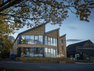
Hedgerow Luxury Glamping
Located on the border of the Yorkshire Dales and Ribble Valley, a warm welcome is assured at Hedgerow Luxury Glamping, an adults-only destination. All seven luxury glamping pods are ver...
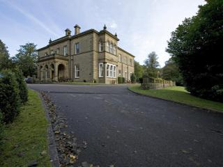
Newfield Hall
In a quiet rural setting, Newfield Hall is a handsome 19th-century pile that has preserved much of its Victorian grandeur. Smart bedrooms provide good levels of comfort, while public ro...
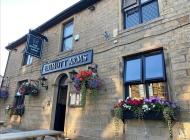
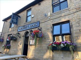
Places to eat nearby View all