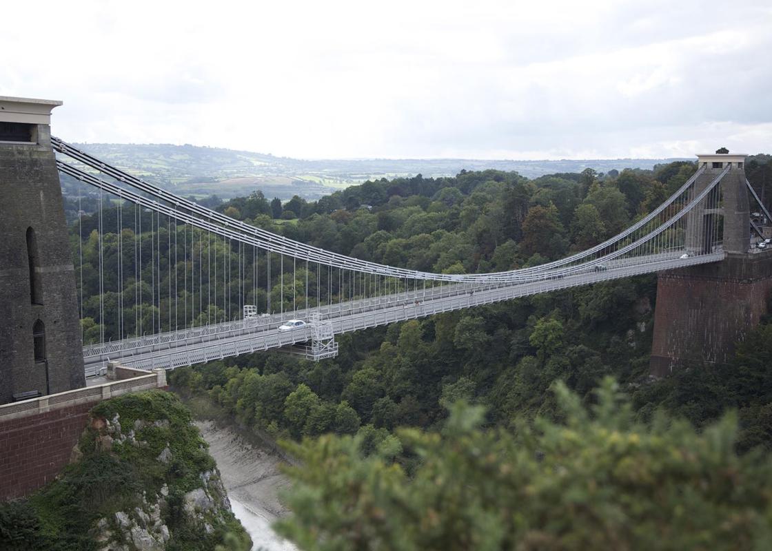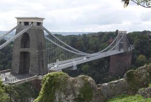
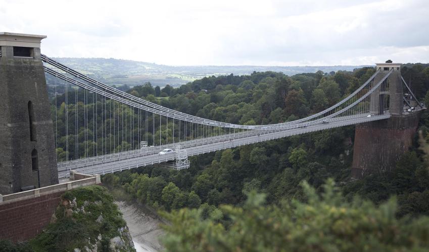
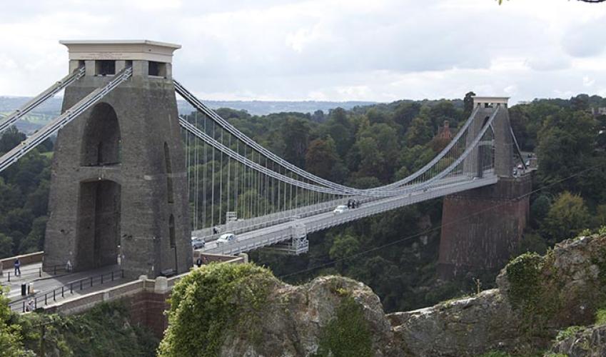
In the Avon Gorge
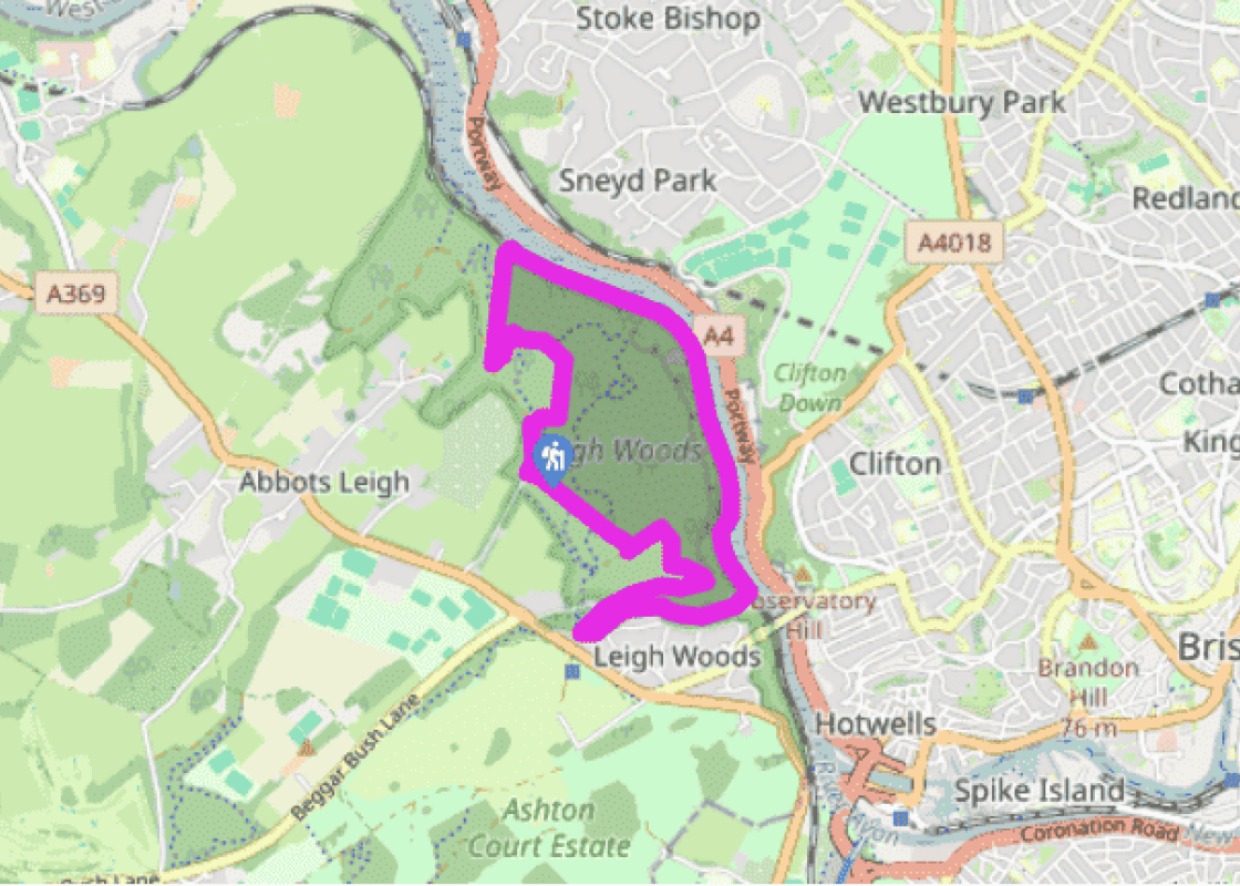
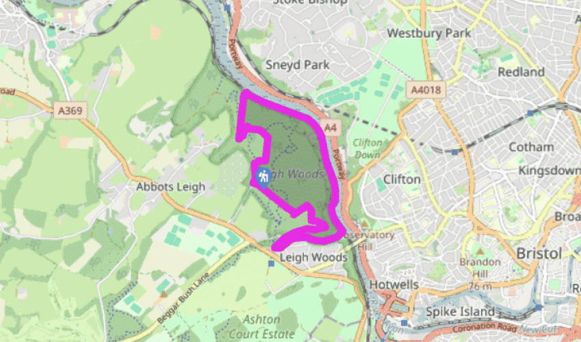
Start opposite the car park along the Red Trail, a wide earth path towards the river. After 50yds (46m) bear right (Red and Purple Trails). In another 90yds (82m) turn left on the Red Trail (the Purple Trail continues ahead). The wide path runs under beech trees, past a shelter that is roofed with shingles (wooden tiles) to a T-junction with the wood dropping away ahead.
Turn left (Red Trail), heading along the rim of a wooded combe. After 110yds (100m) gently downhill, where a red waymarker points ahead (to the car park), bear right, down into the combe. At its floor turn right down a rougher path for 200yds (183m). Turn up left onto a terrace path with glimpses of the river. After 300yds (274m), at a point with a view ahead along the river, bear right on a smaller path past a picnic table. The path slants down across a shallow combe to a T-junction with fir trees. Here turn down right to the River Avon.

Been on this walk?
Send us photos or a comment about this route. Or recommend a route of your own.

Walking in Safety
Read our tips to look after yourself and the environment when following this walk.

Get an AA guide
Explore our range of ‘50 Walks in’ guides - they’re the ideal companion for a ramble.
Been on this walk?
Send us photos or a comment about this route. Or recommend a route of your own.
Walking in Safety
Read our tips to look after yourself and the environment when following this walk.
Get an AA guide
Explore our range of ‘50 Walks in’ guides - they’re the ideal companion for a ramble.

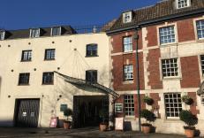
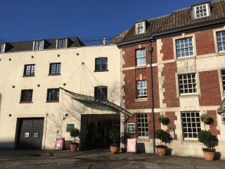
Nearby places to stay
View all (8)