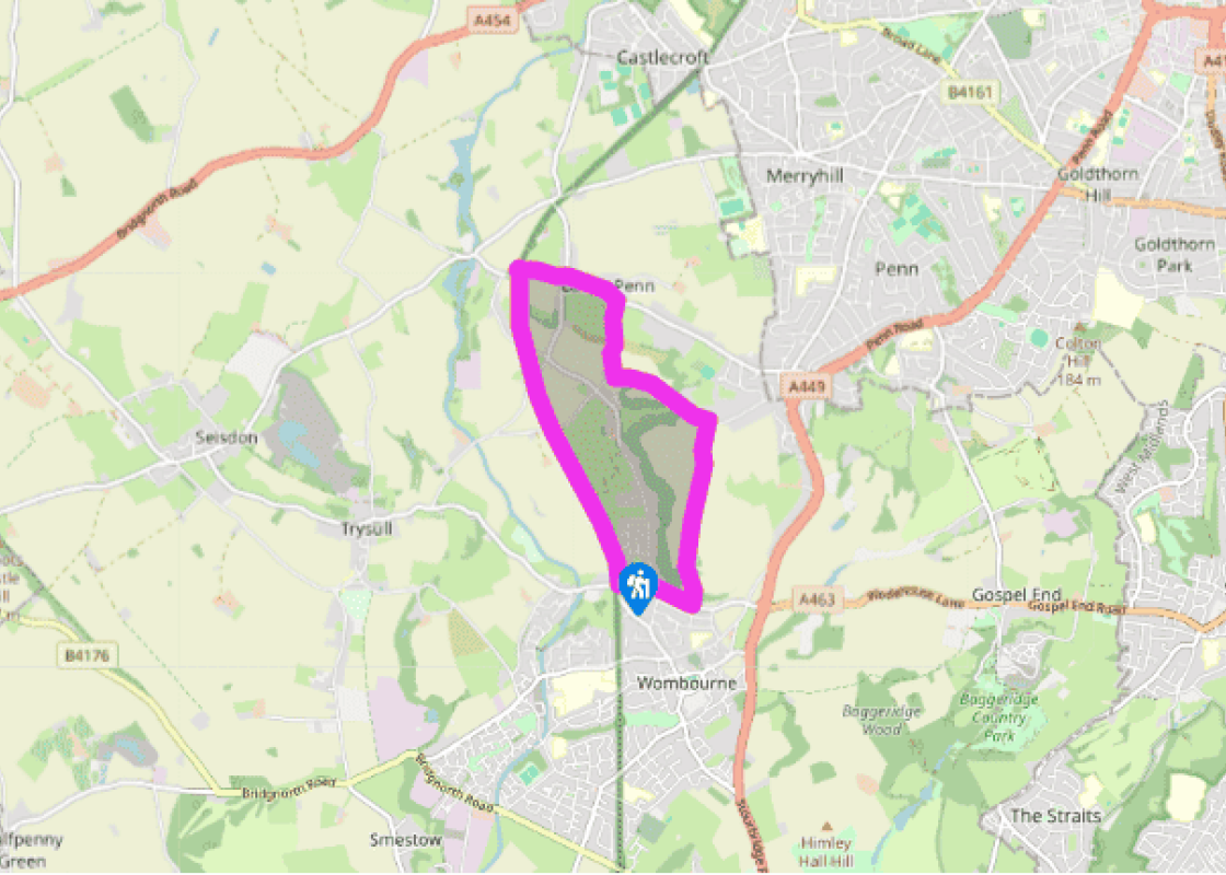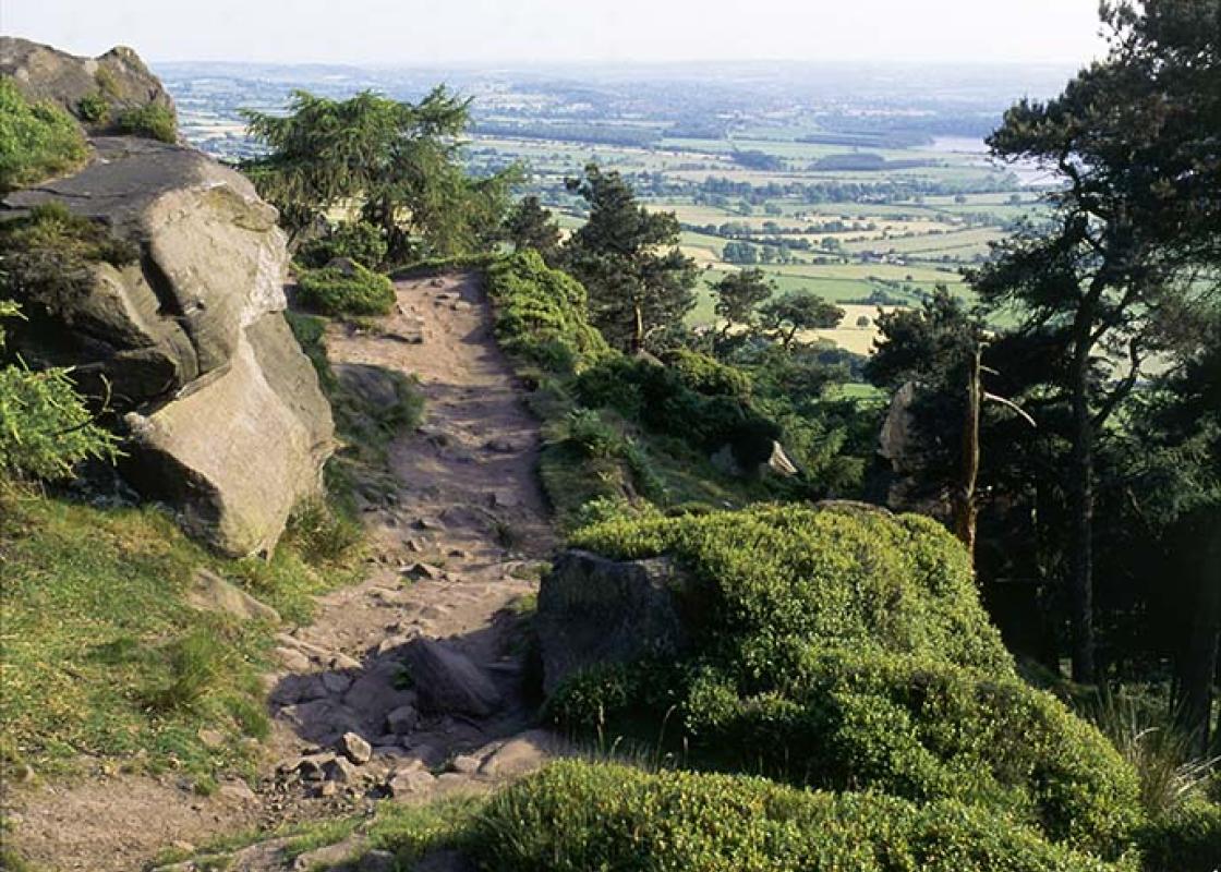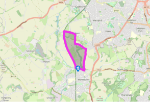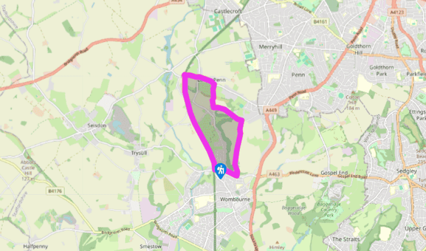
The Wombourne railway walk
From the far end of the car park, walk the few paces on to the disused South Staffordshire Railway line, beyond the former station and platform. Head right and continue along the gravel track for 1.5 miles (2.4km), passing over Flash Lane, Blackpit Lane and Penstone Lane (there are picnic benches near both Flash Lane and Blackpit Lane if you’re in need of rest and refreshment).
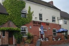
Immediately after the first bridge you go under, turn left up a short track to the road, and then head left over that same bridge and along the road for 0.5 miles (800m). It’s usually quiet but there are one or two blind corners, so care needs to be taken. Pass The Greyhound pub in Lower Penn on your left, and continue over the crossroads towards Upper Penn.

Been on this walk?
Send us photos or a comment about this route. Or recommend a route of your own.

Walking in Safety
Read our tips to look after yourself and the environment when following this walk.

Get an AA guide
Explore our range of ‘50 Walks in’ guides - they’re the ideal companion for a ramble.
Been on this walk?
Send us photos or a comment about this route. Or recommend a route of your own.
Walking in Safety
Read our tips to look after yourself and the environment when following this walk.
Get an AA guide
Explore our range of ‘50 Walks in’ guides - they’re the ideal companion for a ramble.
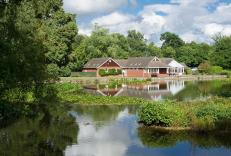
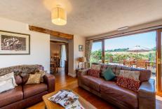
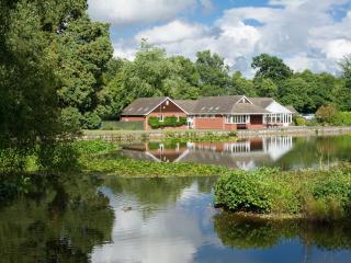
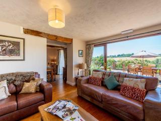
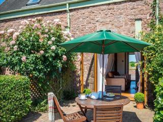
Nearby places to stay
View all (8)