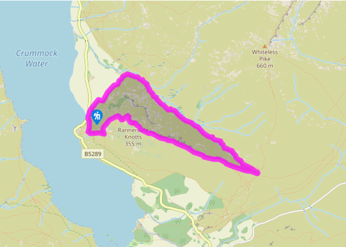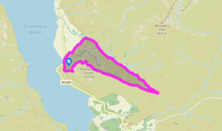
A climb up Rannerdale Knotts
Recommended by

Walk directions
With your back to the parking area turn left along the road for a few paces to a footpath sign on the left. Here you’ll find a steep, pitched path that begins a snaking ascent of the precipitous slope.
Keep to the clearest path, which swings left and climbs through the bracken. On reaching a knoll, you’re treated to views of Buttermere and Crummock Water in the valley below. The path zig-zags back to the left now. At the top of a short rise, keep to the right of a small pile of slate, ignoring the inviting, grassy path and instead climb a stony trail that quickly becomes a flight of rocky steps through a rocky ravine. As the grassy slopes return you are confronted by a pair of crags looming ahead. Your upward path is deflected to the right, emerging on a grassy shoulder before bearing right to the summit. The slightly underwhelming highest point is made worthwhile by taking a few paces towards the edge to reveal a magnificent vista up and down the valley.
View all directions
Additional information
Terrain
- Steep rocky paths, grassy paths and tracks
Landscape
- Steep fellside, open fell, valley and lake
Dog friendliness
- Sheep grazing – keep dogs on lead throughout
Parking
- Roadside layby near start
Toilets en route
- None on route
About the walk
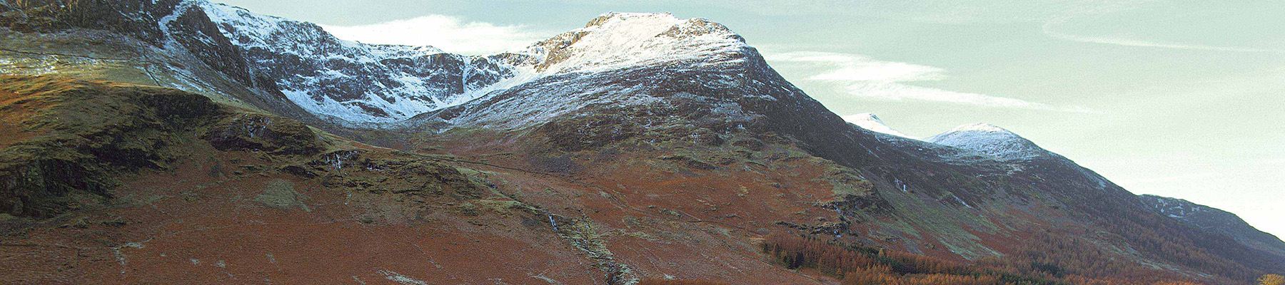
This peculiar little mountain is worth the effort at most times of the year. The rugged face it sets against the valley of Crummock Water looks unassailable until you find the key, a winding staircase of grass and rock steps, breaching its craggy summit after only a relatively short burst of...
Read more

Been on this walk?
Send us photos or a comment about this route. Or recommend a route of your own.

Walking in Safety
Read our tips to look after yourself and the environment when following this walk.

Get an AA guide
Explore our range of ‘50 Walks in’ guides - they’re the ideal companion for a ramble.
Been on this walk?
Send us photos or a comment about this route. Or recommend a route of your own.
Walking in Safety
Read our tips to look after yourself and the environment when following this walk.
Get an AA guide
Explore our range of ‘50 Walks in’ guides - they’re the ideal companion for a ramble.
About the area
Cumbria's rugged yet beautiful landscape is best known for the Lake District National Park that sits within its boundaries. It’s famous for Lake Windermere, England’s largest lake, and Derwent Water, ‘Queen of the English Lakes', but other lesser-known areas in the south, such as the Lune Valley and the coastal towns, are secret gems of wide cobbled streets and rolling hills.
Nearby places to stay
View all (8)


Nearby places to stay
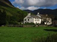
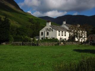
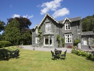
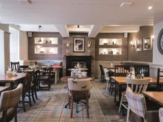
Kirkstile Inn
This historic 16th-century inn lies in a valley surrounded by mountains. Serving great food and ale, its rustic bar and adjoining rooms prove to be a mecca for walkers. There is also a ...
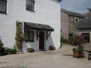
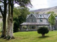
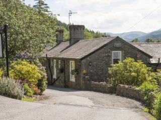
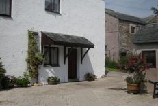
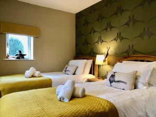
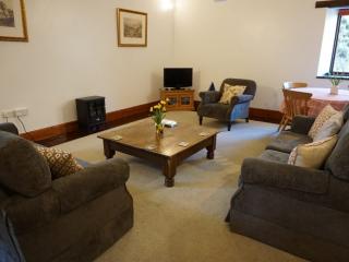
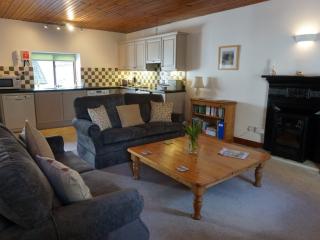
Crummockwater Cottages
Crummockwater Cottages in Loweswater enjoy stunning views of Crummock Water and the surrounding fells including Haystacks and Great Gable. The cottages are the converted barns and stabl...
Crummock Cottage
Awaiting description...
Loweswater Cottage
Awaiting description...
Buttermere Cottage
Awaiting description...
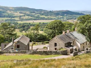
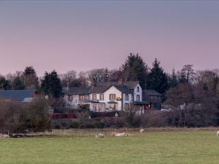
High Swinside Holiday Cottages
With an idyllic hillside setting and glorious panoramic views, High Swinside Holiday Cottages occupy a memorable spot in the peaceful Lorton valley. Sleeping between two to nine people,...
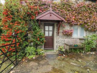
Holemire Barn
An ideal place to refresh and unwind, Holemire Barn is a converted traditional Lakeland barn set in a charming Lake District village. The village is well inside the Lake District Nation...
Holemire Barn
An ideal place to refresh and unwind, Holemire Barn is a converted traditional Lakeland barn set in a charming Lake District village. The village is well inside the Lake District Nation...
Places to eat nearby View all