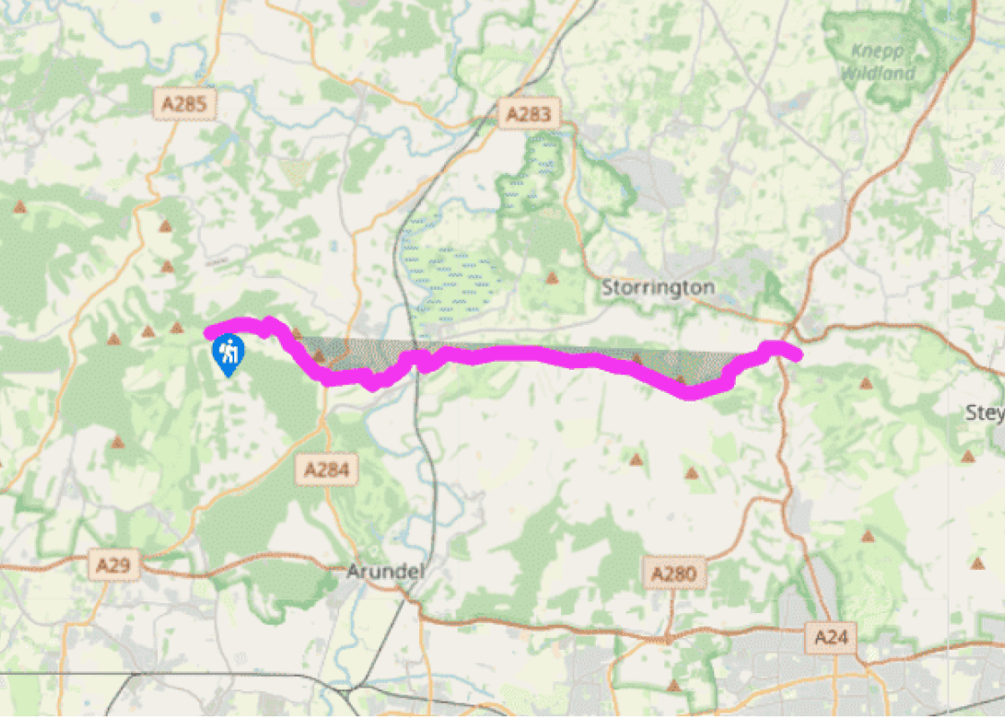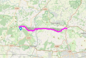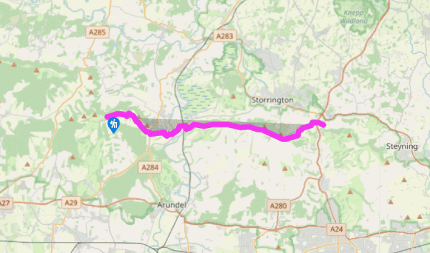
South Downs Way: Bignor Hill to Washington
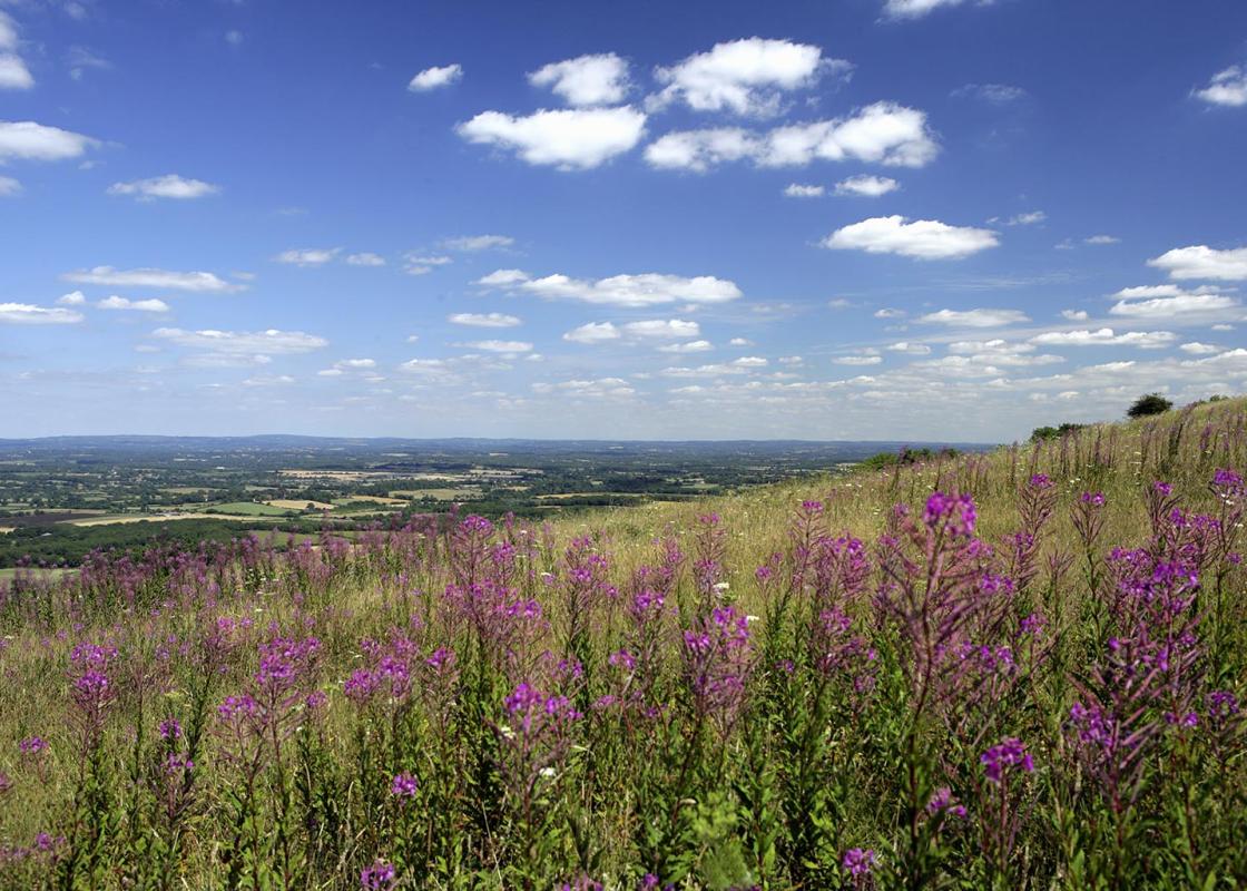
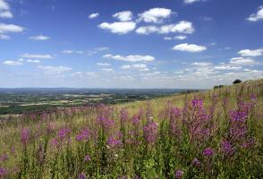
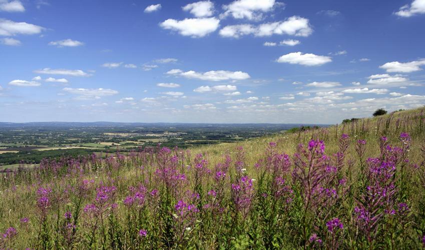
From the top of Bignor Hill, the South Downs Way follows a hard chalk track to the east, along the top of the Down, with fine views southwards over the coastal plain as far as Bognor Regis and Littlehampton. Ahead in the distance lies Chanctonbury Ring. The route zigzags steeply downhill to old farm buildings in a spot which can frequently be muddy at the bottom of Westburton Hill, before
taking the walker uphill on a narrow chalk track, passing a trig point at 584ft (178m) to the left and soon reaching the busy A29 Worthing road.
From here there is a splendid view of the route ahead, as the landscape dives down into the Arun Valley, with dramatic chalk hills beyond Amberley. Cross the A29. The bridleway that continues the route will be found a short distance to the south. The South Downs Way carries on steeply downhill by the
side of Coombe Wood on another chalk track, bringing you to a lane a short way to the north of the hamlet of Houghton.

Been on this walk?
Send us photos or a comment about this route. Or recommend a route of your own.

Walking in Safety
Read our tips to look after yourself and the environment when following this walk.

Get an AA guide
Explore our range of ‘50 Walks in’ guides - they’re the ideal companion for a ramble.
Been on this walk?
Send us photos or a comment about this route. Or recommend a route of your own.
Walking in Safety
Read our tips to look after yourself and the environment when following this walk.
Get an AA guide
Explore our range of ‘50 Walks in’ guides - they’re the ideal companion for a ramble.
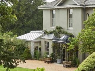
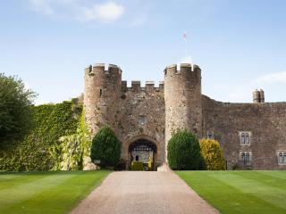
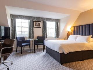
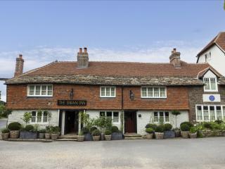
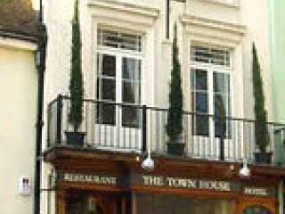
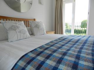
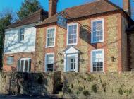
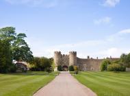
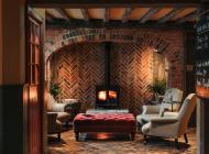
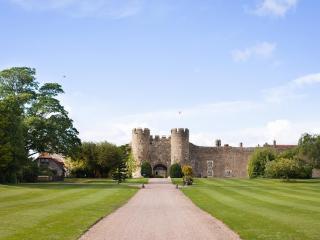
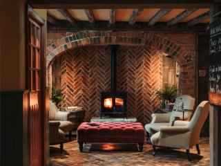
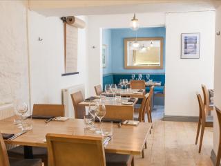
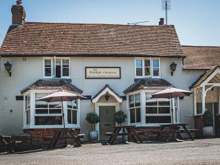
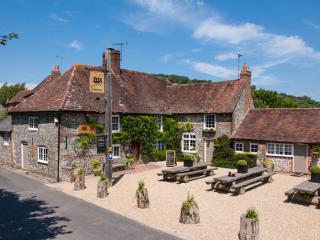
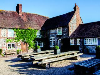
Nearby places to stay
View all (8)