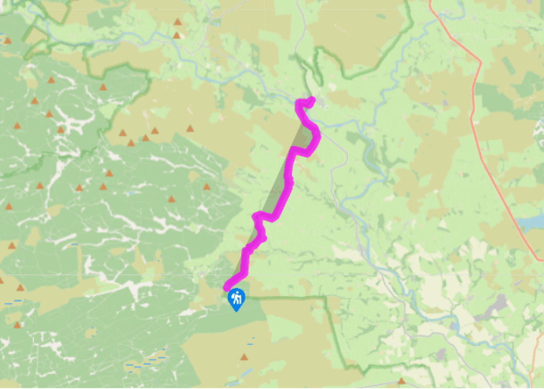
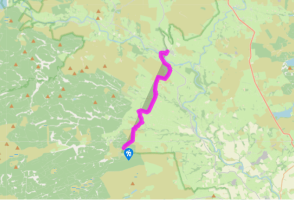
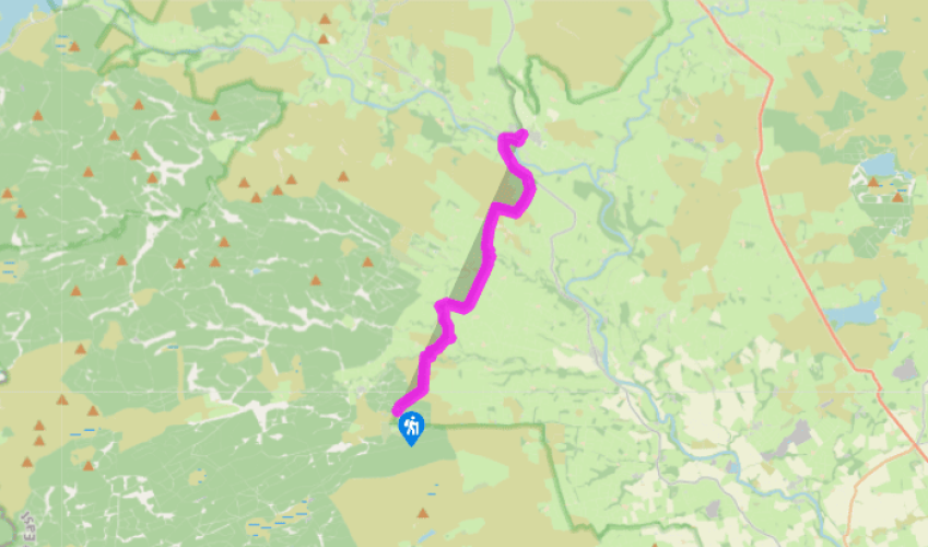
Pennine Way: Stonehaugh to Bellingham
Cross the road and continue along the Pennine Way, soon entering the forest.
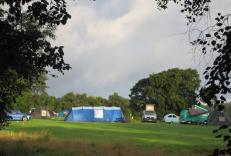
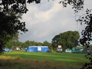
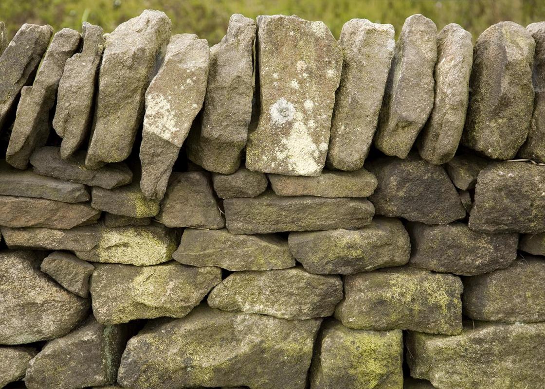
The trees end at another block of moorland: the side of Broadpool Common. The path is indistinct: it briefly heads northeast before swinging north, following the flank of a burn, past a tiny waterfall and downhill, then up beside a wall and over the brow into the valley of the Warks Burn. The route descends beside a fence, then turns right, over a ladder stile and past a hay barn, before dropping down between rocky clefts to the attractive Warks Burn.
After crossing the footbridge, the character of the land begins to change – to less open moorland and more green pasture, as the route climbs through damp woodland and across a field to Horneystead, then from field to field and farm to farm. Past The Ash and Leadgate and across a side-road, the Way leads to Lowstead. The route then follows an access track above the Blacka Burn. Keep right as a side lane goes left to Linacres Farm.
At a junction, the route turns left and passes a small grassed-over quarry and an outstanding example of cordrigging (narrow ridge-and-furrow ploughing) over the pasture on the left. There was a Romano-British settlement here; the ruins are thinly covered and are easy to make out and the fields were intensively cultivated. The farm produce, probably barley, was sent to feed the occupying Roman army. At the next road junction the route crosses a stile straight ahead and follows the edges of the fields over the hill and down to the Houxty Burn.
Having crossed the footbridge, go right, cross a tributary bridge and then go through the gate on the left to follow a track to the farm at Shitlington Hall. Go down a track on the left before turning right to follow the field-edge again all the way up to Shitlington Crags. The sandstone outcrop is easy to climb via a short flight of rough-stone slabs; the path is clear once you have spotted it from the track just below. The views, all the way down to Hadrian’s Wall and beyond, are very fine if the light is with you. From here the route is clear, uphill again over moorland, making for the wall at the very top of the ridge, to the left of the radar mast. Again, the views are excellent.
Been on this walk?
Send us photos or a comment about this route. Or recommend a route of your own.
Walking in Safety
Read our tips to look after yourself and the environment when following this walk.
Get an AA guide
Explore our range of ‘50 Walks in’ guides - they’re the ideal companion for a ramble.
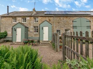
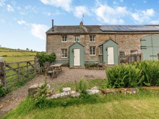
Nearby places to stay
View all (8)
- Total units: 1
- Private garden
- Lawn area
- Garden furniture
- Dish washer


