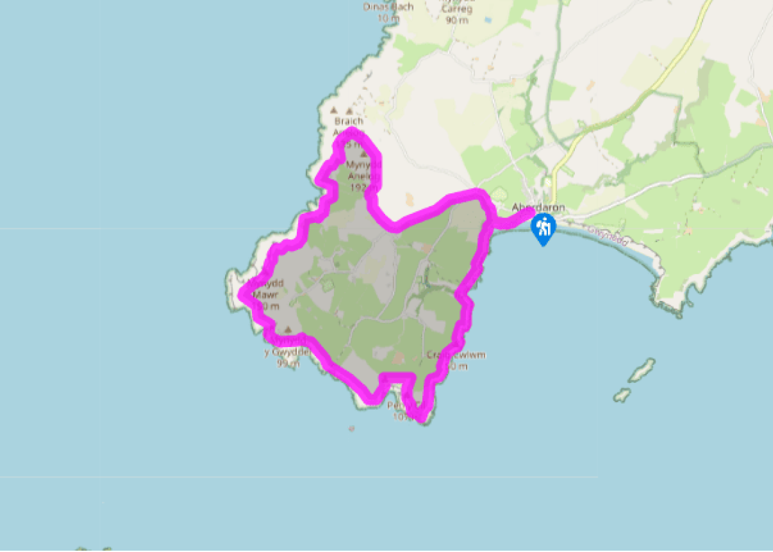
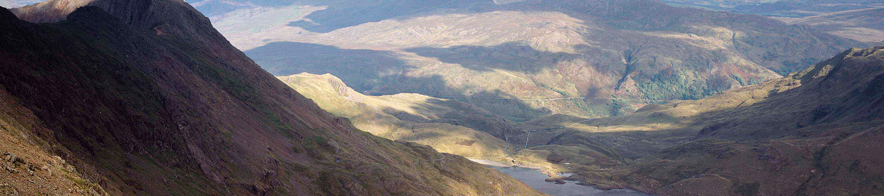
Aberdaron and Uwchmynydd
Recommended by

"A coastal walk to Wales’s ‘Land’s End’ with stunning views to Bardsey Island"
Walk directions
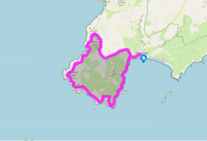
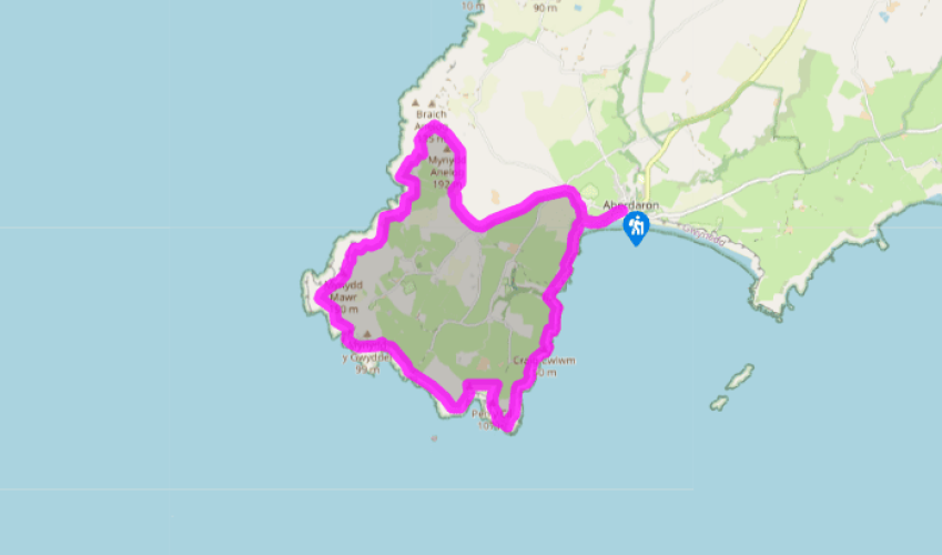
From the car park, walk towards the beach and turn right. (At high tide, follow an alternative route across the cliffs.) Near the end of the bay, ford a small stream and climb steps on the right to a junction with the Wales Coast Path. Turn left and climb again to a path junction on a grassy clifftop.
Follow the coast path left along the clifftops. Descend steeply into the little cove of Porth Meudwy, then climb steeply back out of it. Continue south towards Pen y Cil. After rounding the headland, the path climbs to the right, providing the first views of Bardsey Island.
View all directions
Additional information
Terrain
- Rugged coast path, grassy tracks, minor road
Landscape
- High cliffs and rugged coastal scenery
Dog friendliness
- Sheep grazing on cliffs – keep on lead
Parking
- Car park in Aberdaron (honesty box)
Toilets en route
- Seasonal toilets in car park and community toilet in hotel
About the walk
There’s an end of the world feel to Aberdaron, the most westerly of the Llyn Peninsula’s villages. Indeed, the tip of this remote peninsula is often referred to as the ‘Land’s End of Wales’. It is certainly a beautiful spot and, unlike the real Land’s End, completely unspoiled by commercial...
Read more

Been on this walk?
Send us photos or a comment about this route. Or recommend a route of your own.

Walking in Safety
Read our tips to look after yourself and the environment when following this walk.

Get an AA guide
Explore our range of ‘50 Walks in’ guides - they’re the ideal companion for a ramble.
Been on this walk?
Send us photos or a comment about this route. Or recommend a route of your own.
Walking in Safety
Read our tips to look after yourself and the environment when following this walk.
Get an AA guide
Explore our range of ‘50 Walks in’ guides - they’re the ideal companion for a ramble.
About the area
The county of Gwynedd is home to most of the Snowdonia National Park – including the wettest spot in Britain, an arête running up to Snowdon’s summit that receives an average annual rainfall of 4,473mm. With its mighty peaks, rivers and strong Welsh heritage (it has the highest proportion of Welsh-speakers in all of Wales), it’s always been an extremely popular place to visit and live.
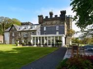
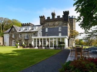
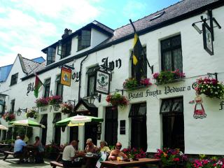
Nearby places to stay
View all (8)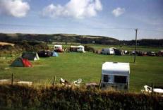

Nearby places to stay
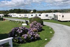
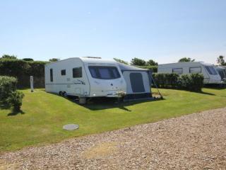
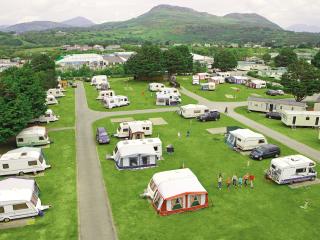
Rhydolion
A peaceful small site with good views on a working farm close to the long, dog-friendly sandy beach at Heals Mouth. The smart amenity block offers good privacy options for each gender a...
Deucoch Touring & Camping Park
This is a colourful, sheltered site with stunning views of Cardigan Bay and the mountains that is situated just a mile from Abersoch and a long sandy beach. The friendly, enthusiastic, ...
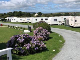
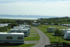
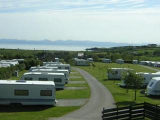
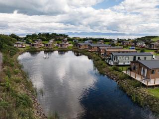
Beach View Caravan Park
A long established clifftop park with stunning views of both the sea and the countryside. The grounds are immaculately maintained, and pitches are mainly hardstanding with good electric...
Bryn Bach Caravan & Camping Site
Bryn Bach Caravan & Camping Site offers stunning views towards the beach and across the bay to the Snowdonia mountains, and a warm welcome is assured at this very well-maintained park o...
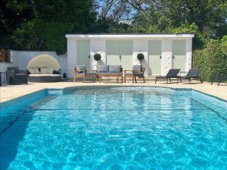
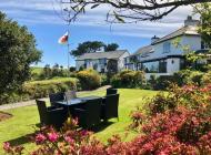
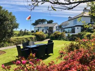
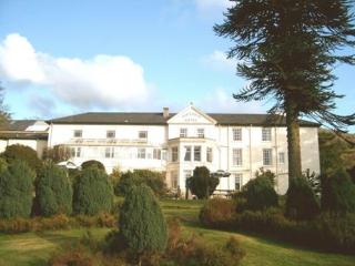
Porth Tocyn Hotel
Located above Abersoch with fine views across Cardigan Bay, Porth Tocyn is set in its own attractive gardens. Several elegantly furnished sitting rooms are provided with space set aside...
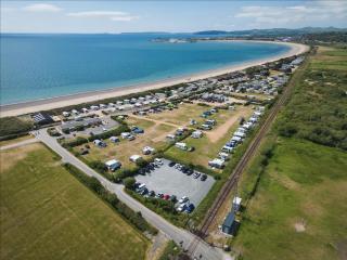
Abererch Sands Holiday Centre
Glorious views of Snowdonia and Cardigan Bay can be enjoyed from Abererch Sands, a secure, family-run site adjacent to the railway station and four miles of sandy beach. The amenity blo...
Hafan y Môr Holiday Park
Located between Pwllheli and Criccieth, and surrounded by mature trees that attract wildlife, this popular holiday centre provides a wide range of all-weather attractions. Activities in...
Greenacres Holiday Park
A quality holiday park on level ground just a short walk from Black Rock Sands, and set against a backdrop of Snowdonia National Park. All touring pitches are on hardstandings surrounde...
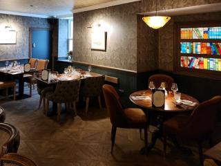
Places to eat nearby View all