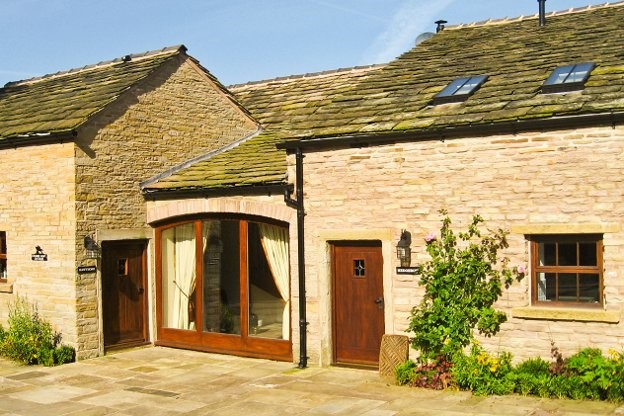


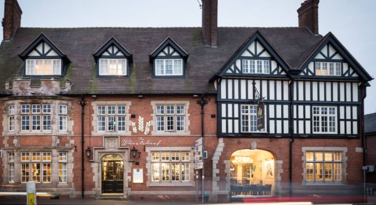
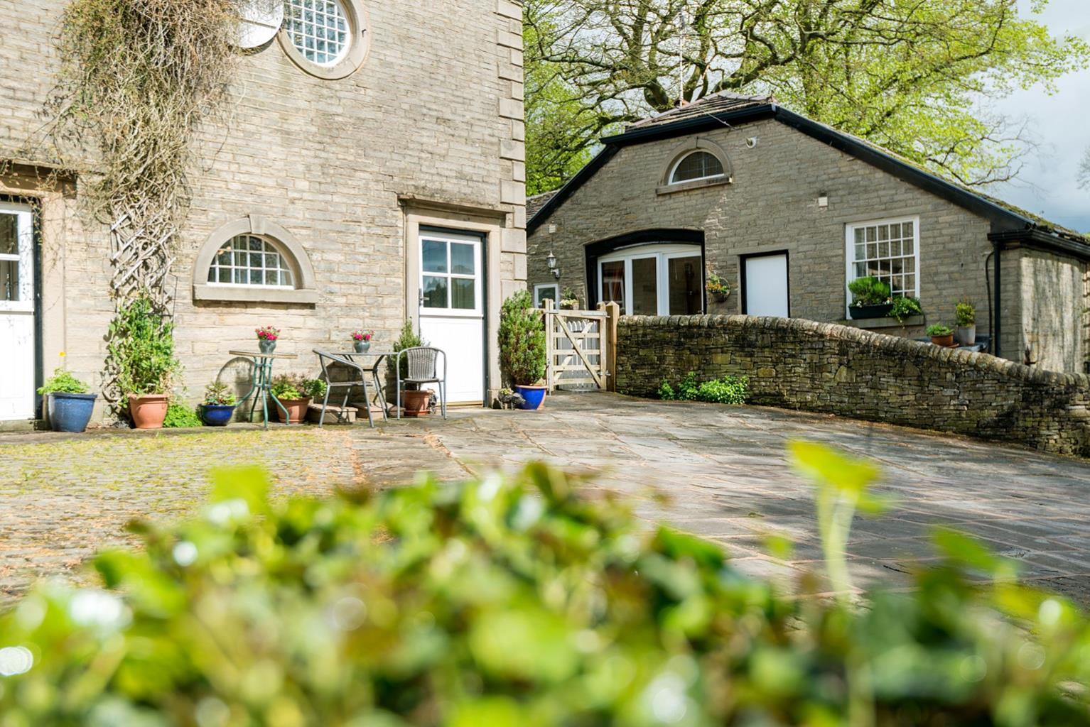
Kerridge End Holiday Cottages
Kerridge End Holiday Cottages are located on the Cheshire/Derbyshire border. The smallest sleeps…

Tegg’s Nose Country Park above Macclesfield provides great walking – and even better sledging.
Tegg’s Nose
2.5 miles (4kms)
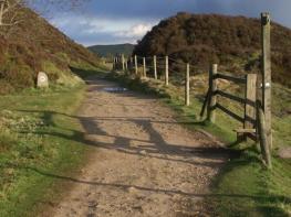
There are some notable hills on the eastern side of the Peak District, not least the mini-Matterhorn of Shutlingsloe and the huge moorland ridge of Shining Tor and Cats Tor, north of the Cat and Fiddle inn. Tegg’s Nose, by comparison, is significantly lower and less of a challenge, but for the people of east Cheshire it’s a perennial favourite, not just for its lovely paths and great views but also its accessibility. There are routes to suit all abilities, and although this walk involves a lengthy descent and fairly long plod back up, it’s neither arduous nor technically difficult.
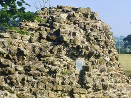
Who Tegg might have been and why his or her nose was so special is uncertain. Early maps show the location as Tegge’s Naze, and there is speculation that Tegge might have been an early Norse settler. There again, the angular profile of the hill is also said to resemble the nose of a one-year-old sheep, known as a ‘teg’, so it’s anyone’s guess.
The walk begins with a tour of the old gritstone quarries that litter the hilltop. For several centuries they provided building material for local roads and houses, and were used to pave many of the streets of nearby Macclesfield. The quarry closed in the 1960s, after which the county council purchased the site and turned it into a country park. Some of the old quarrying machinery has been preserved, including such fearsome-looking apparatus as a rock crusher and swing saw. There’s also an electric crane that dates from around the time of World War II, when American troops were drafted to the quarry to extract rock for new runways.
At the foot of Tegg’s Nose lie two small reservoirs, unremarkable in themselves but when viewed with Tegg’s Nose as a backdrop it makes for an attractive scene. You’ll also notice the huge scree of spoil below the summit that was created by years of quarrying. For a long time the most common way of dislodging the rock of Tegg’s Nose was by blasting, which was unpopular with locals since every now and then rock debris plunged uncontrollably down the hillside and smashed through walls and even buildings below. No such dangers today, thankfully.
If you visit Tegg’s Nose in winter when it has snowed, make sure to bring your toboggan. The two meadows northwest of the summit are dedicated sledging fields, with nets strung up at the bottom to stop people hitting the walls. When the conditions are at their best, as many as 500 people have been known to sledge here, all at the same time.
From the visitor centre walk to the road and turn left onto a wide gravel track, signed ‘To the Country Park’. This soon veers away from the road – at the far end go through the gate.
Turn left, up steps, above the remains of quarries. Go past mechanical relics and continue along this wide route until it swings right.
Turn left onto a smaller path that snakes its way through the heather along the edge of the hilltop. Keep going until you reach the second of two small gates in the fence on the left.
Go through the gate and down the hillside below, following the well-walked route initially across grass. The route keeps descending, eventually into trees and a long flight of steps until you emerge at a small car park.
From the car park follow the road across Tegg’s Nose Reservoir dam. On the far side turn immediately left onto a public bridleway along a private road. Ignoring all paths off left and right, follow this route past the reservoir and across a stream via stepping stones. Eventually you emerge on the corner of a metalled lane by Clough House Farm.
Go left/straight on, still uphill, and when this curves gently right after 175yds (160m) take the left turn, signed ‘Saddlers Way’. Follow this long, stone-pitched, walled path back up to the car park and visitor centre.
Firm tracks and a long, sloping grassy path; long flight of steps
Prominent hilltop with reservoirs and gentle farmland below
Lead required around grazing cattle
OS Explorer OL24 White Peak
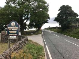
Tegg’s Nose visitor centre car park (pay-and-display)
At visitor centre
Read our tips to look after yourself and the environment when following this walk.
Discover more than 15,000 professionally rated places to stay, eat and visit from across the UK and Ireland.
Choose a place to stay safe in the knowledge that it has been expertly assessed by trained assessors.
Search by location or the type of place you're visiting to find your next ideal holiday experience.
Read our articles, city guides and recommended things to do for inspiration. We're here to help you explore the UK.