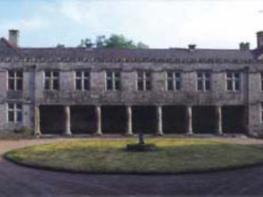
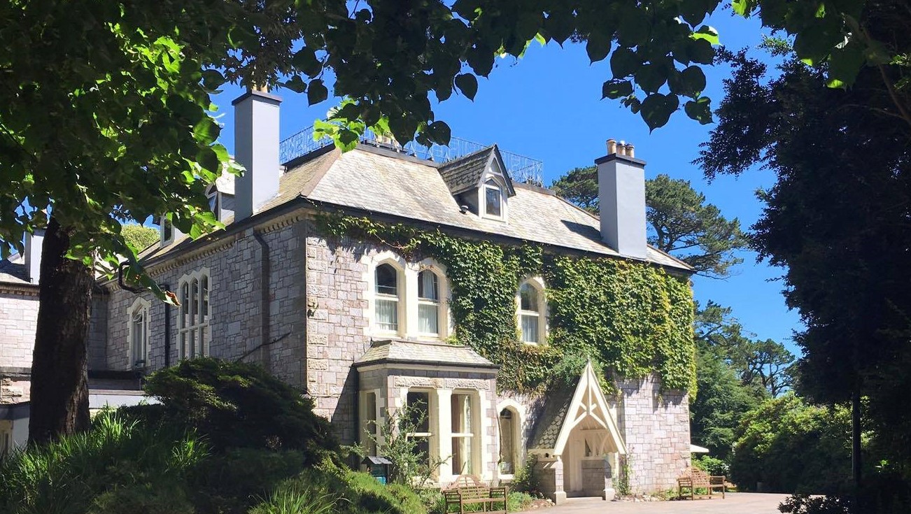
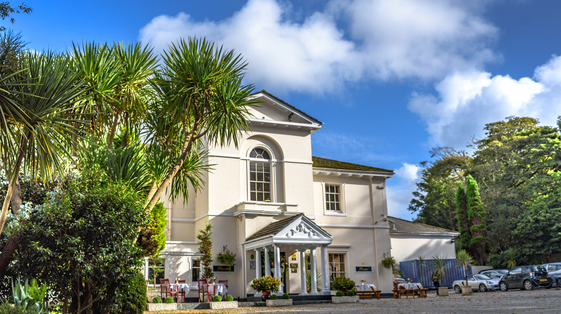
Penventon Park Hotel
Set in attractive parkland, this Georgian mansion is ideal for both business and leisure guests…

A circuit of a wild and rocky hill above the urban sprawl.
Carn Brea
2 miles (3.2kms)
Carn Brea is a big knuckly granite hill that rises to a height of 828ft (252m) above the mid-Cornwall towns of Camborne and Redruth. The industrial outskirts of the towns are landscapes of least beauty, as far as Cornwall goes. Tin and copper miners dug away at the low ground of this part of Cornwall for centuries. Railway and main roads cut through, and created unsympathetic strip development. Buildings spread out to the bleak edges of industrial estates. The towns almost merged, and as Cornish mining declined and Cornwall turned increasingly towards tourism and the ‘invisible’ service industries, Camborne and Redruth remained staunchly unglamorous and down to earth.
Yet, the great hill of Carn Brea above the two towns survives as an iconic Cornish landscape. You can appreciate this best from the top of the hill. There are distant views of the sea and of the hills of St Agnes Beacon, Carn Marth and Carnkie, and a landscape of villages, patchworked fields and woods; a countryside that is dotted with the ruins of mine engine houses and other buildings that have an almost medieval appearance. There is precedent for all this human settlement and development. Carn Brea was the site of a large neolithic encampment some 5,000 years ago.
The summit of Carn Brea is studded with wind-polished slabs and boulders of fantastical shapes. Granite extends the height of the hill by another 90ft (27m) thanks to the striking, if rather inelegant, Dunstanville Monument that crowns the flat summit ridge. It was built in 1837 in honour of local landowner Sir Francis Basset, Lord Dunstanville, who profited hugely from local mining.
Walk up the rough, stony track from the lower parking area and follow the track round right towards Carn Brea Castle. (If parking on the hilltop, follow the track to the castle.)
Continue along the path that continues from a parking space beside the castle. Pass a granite slab, and in about 20yds (18m) turn right and go down a rocky path. Take the right-hand branch at a fork and continue downhill on a rocky path. The distinctive tower of St Euny's Church lies below.
Turn left at a T-junction along a wide track. (Watch out here for horse riders.)
Turn left at a junction with a lane. In a few paces turn left along a narrow path beside a granite boulder. (The path ahead is stranded in places, but essentially follows the base of the hill slope.) Keep right at a fork, stick to the main path and pass a granite pillar with bore holes in it.
Reach a junction of paths and take the path directly opposite. Follow the main path. Keep left at the next junction, beneath overhead power lines. Keep left of a raised area of ground. You are now abreast of a big granite outcrop on the hill above.
Turn left at a T-junction in about 50yds (46m) and follow a steep, rocky and sometimes eroded path uphill. Pass the big granite outcrop that lies some distance to your left. Ignore a left-hand fork where the path levels off.
In a few paces, reach a crossing of paths (there is a stone bench just to the right, over a low bank). Turn left and follow a rocky path past the pile of rocks known as the Giant's Cups and Saucers. Pass the Dunstanville Monument and continue to the hilltop car parking areas. Turn right and follow the approach track downhill, to return to the lower car park.
Rights of way and permissive paths, rocky in places; wet and muddy sections
A distinctive hill, covered in heath and studded with huge granite boulders
Some sections of route used by horse riders
OS Explorer 104 Redruth & St Agnes
Small open area at end of narrow road from Carnkie (do not block gateway of a private house); a few parking spaces on hilltop along rough continuation track from this parking area – park at your own risk
None on route
Read our tips to look after yourself and the environment when following this walk.
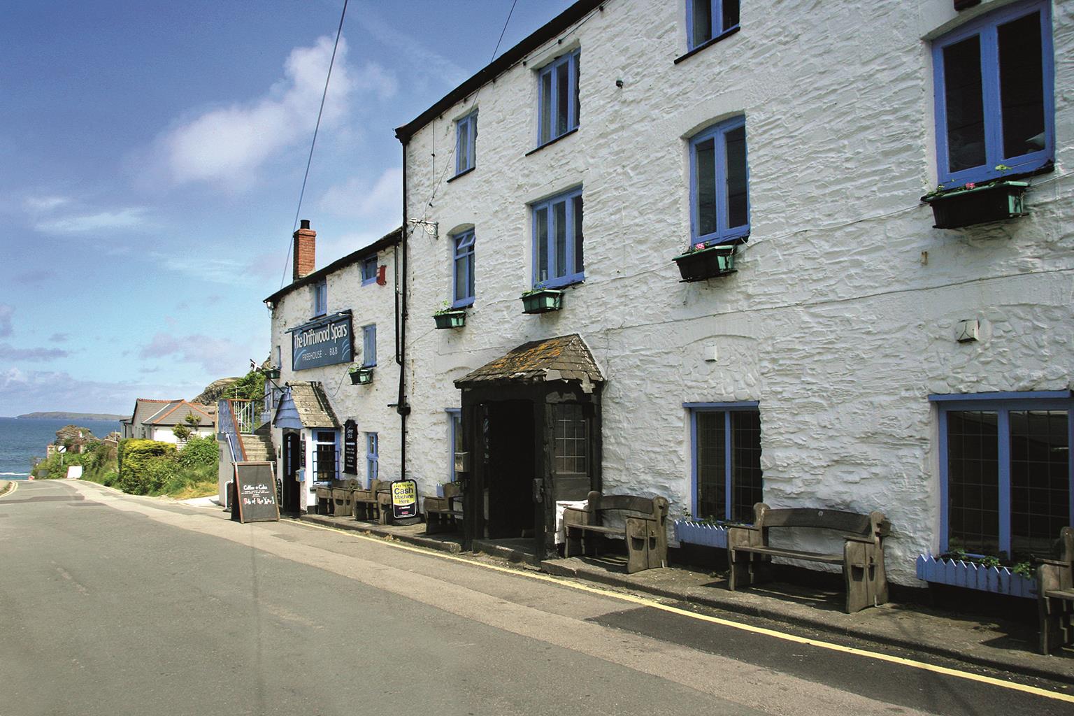
Cornwall has just about everything – wild moorland landscapes, glorious river valley scenery, picturesque villages and miles of breathtaking coastline. With more than 80 surfing spots, there are plenty of sporting enthusiasts who also make their way here to enjoy wave-surfing, kite surfing and blokarting.
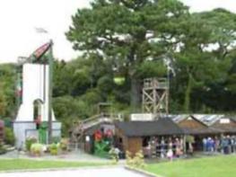
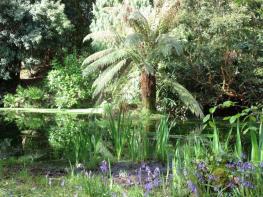
In recent years, new or restored visitor attractions have attracted even more visitors to the region; the Eden Project is famous for its giant geodesic domes housing exotic plants from different parts of the globe, while nearby the Lost Gardens of Heligan has impressive kitchen gardens and a wildlife hide.
Discover more than 15,000 professionally rated places to stay, eat and visit from across the UK and Ireland.
Choose a place to stay safe in the knowledge that it has been expertly assessed by trained assessors.
Search by location or the type of place you're visiting to find your next ideal holiday experience.
Read our articles, city guides and recommended things to do for inspiration. We're here to help you explore the UK.