Along Offa's Dyke: Moel Famau and Foel Fenlli
Recommended by

"Along the Offa's Dyke ridge between Moel Famau and Foel Fenlli"
Walk directions
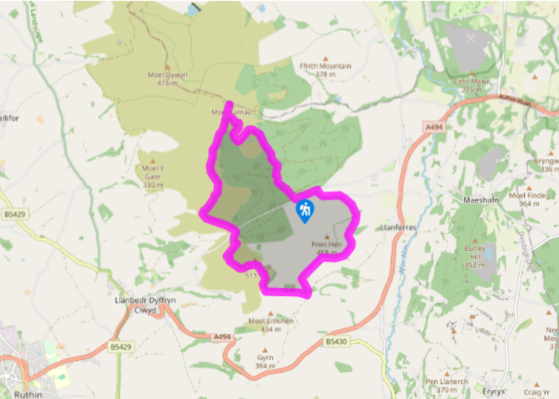
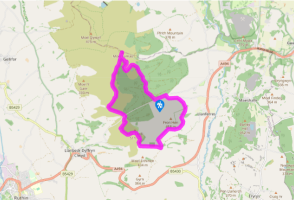
Locate an information board near the car park entrance. Follow the dark blue/purple waymarkers up the hill to the right of a stream. Fork left to continue along a gravel track, then keep straight ahead at a crossroads of tracks by a large black grouse sculpture. Keep straight ahead up the hill to the top edge of the forest.
After emerging from the trees, take the waymarked ‘blue trail’ signed to the left. This follows a winding route up the hill, avoiding sections of steep loose scree on the main track. A final right turn onto a wide gravel path leads up to the tower on the top of Moel Famau.
View all directions
Additional information
Terrain
- Well-defined paths and forestry tracks
Landscape
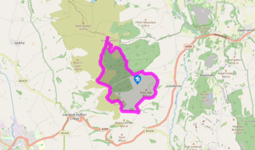
- Heather moor, forest and farmland
Dog friendliness
- Dogs can run free in the forest and on heather ridges
Parking
- Natural Resources Wales pay car park at Coed Moel Famau
Toilets en route
- In car park
About the walk
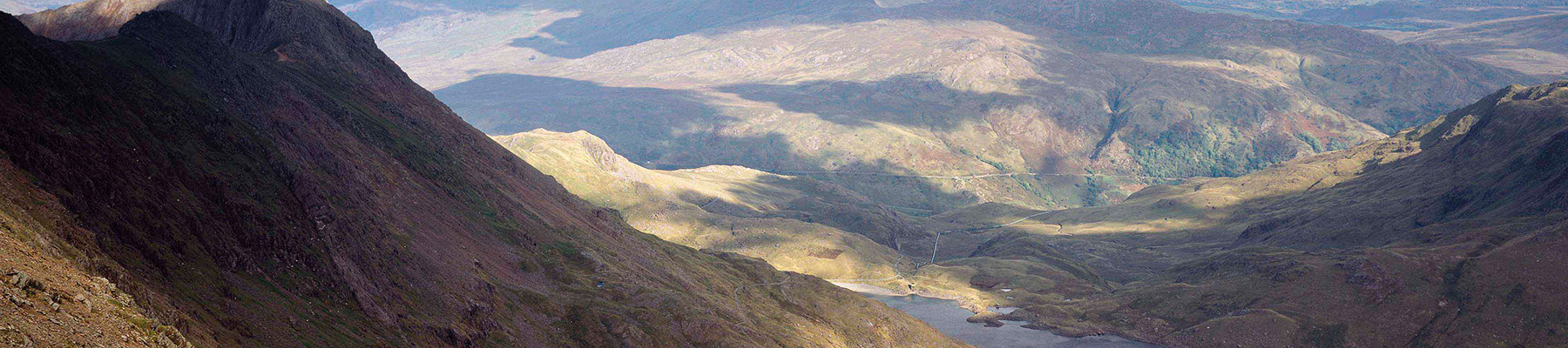
The Clwydian Range is a chain of hills in northeast Wales stretching from Llandegla in the south to Prestatyn on the North Wales coast. Almost the entire upland area has been designated an Area of Outstanding Natural Beauty (AONB) – one of only five areas in Wales to be granted this level of...
Read more

Been on this walk?
Send us photos or a comment about this route. Or recommend a route of your own.

Walking in Safety
Read our tips to look after yourself and the environment when following this walk.

Get an AA guide
Explore our range of ‘50 Walks in’ guides - they’re the ideal companion for a ramble.
Been on this walk?
Send us photos or a comment about this route. Or recommend a route of your own.
Walking in Safety
Read our tips to look after yourself and the environment when following this walk.
Get an AA guide
Explore our range of ‘50 Walks in’ guides - they’re the ideal companion for a ramble.
About the area
The north-east Wales county of Denbighshire shares a name – though not the same borders – with one of Wales’s thirteen historic counties. It includes the seaside holiday towns of Rhyl and Prestatyn; the medieval county town of Denbigh; and the tiny cathedral town of St Asaph.
Nearby places to stay
View all (8)


Nearby places to stay
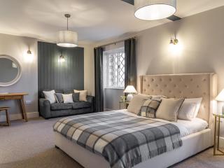
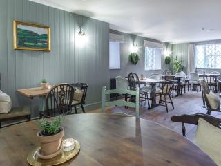
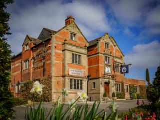
The Griffin Inn
The Griffin Inn is at the heart of Llanbedr Dyffryn Clwyd, near Offa’s Dyke Path and a short distance from Ruthin. This a characterful roadside inn with roots dating back several centur...
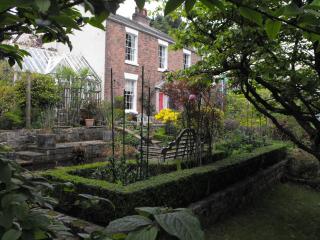
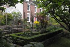
Firgrove Country House B&B
Standing in immaculate mature gardens in a peaceful rural location, Firgrove Country House retains many original features, highlighted by quality decor and furnishings throughout. Bedro...
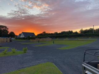
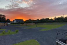
Haulfryn Caravan Park
Located on a former garden centre and nursery site and adjacent to a racecourse renowned in the late 1800s, this family park is located between the historic city of Chester and the popu...
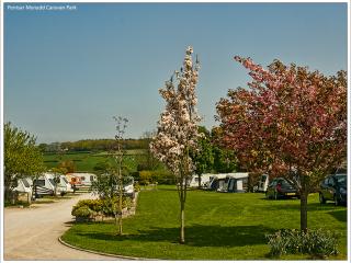
Penisar Mynydd Caravan Park
A very tranquil, attractively laid-out park set in three grassy paddocks with a superb facilities block including a disabled room and dishwashing area. The majority of pitches are super...
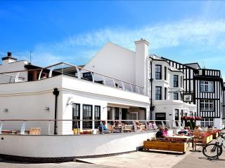
The Ship
Dating from the 18th century, The Ship overlooks the Dee Estuary and offers a range of modern, well-equipped bedrooms, some of which enjoy estuary views. Local ales and menus of perenni...
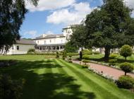
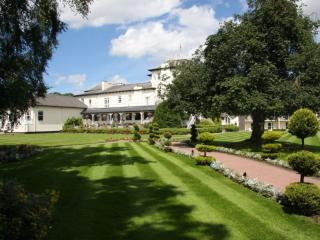
Grosvenor Pulford Hotel & Spa
Set in a rural location just outside Chester, Grosvenor Pulford Hotel & Spa offers a relaxed, contemporary escape with a strong focus on leisure and wellbeing. Interiors are styled with...
The Jug and Bottle
Set in the village centre, The Jug and Bottle is an inviting property with a buzzy ambience. A wide-ranging menu of pub classics made with Wirral produce is served in a sprawling bar fe...

Thornton Hall Hotel and Spa
Dating back to the mid 1800s, Thornton Hall Hotel has been extended, restored and updated over the years. A choice of eateries is available including the Lawns Grill. Bedrooms vary in s...
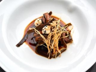
Places to eat nearby View all