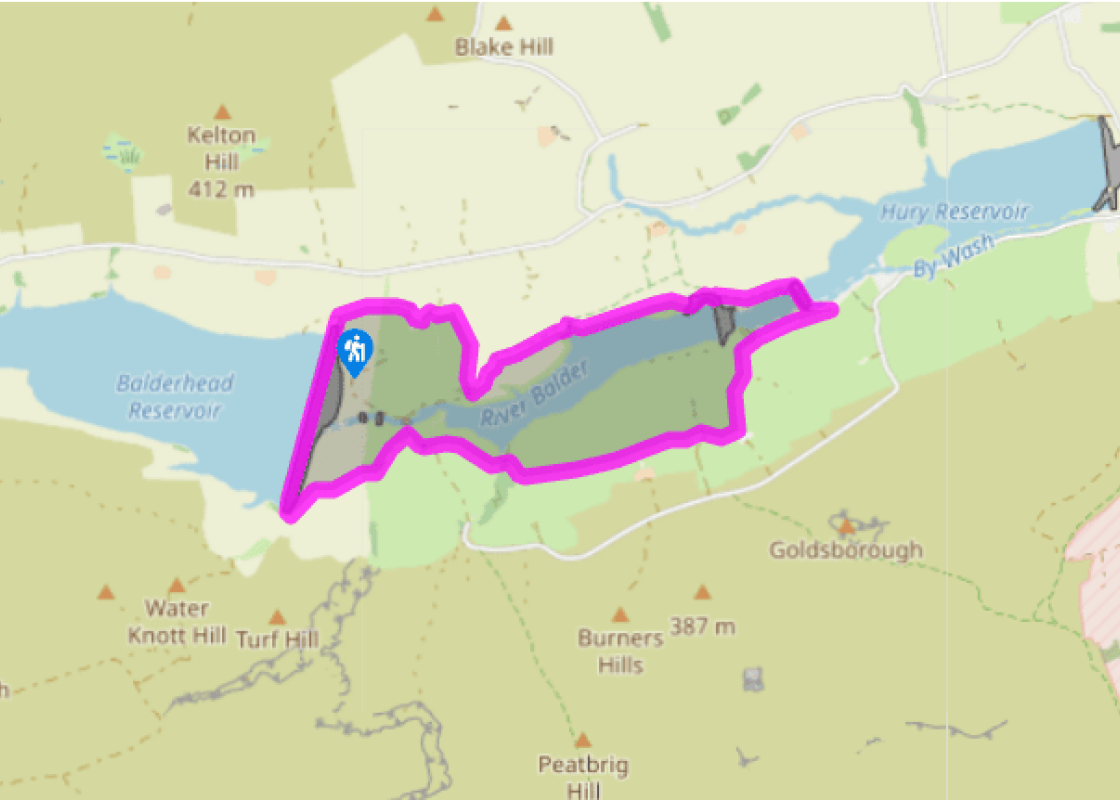
Around Baldersdale
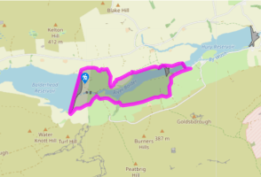
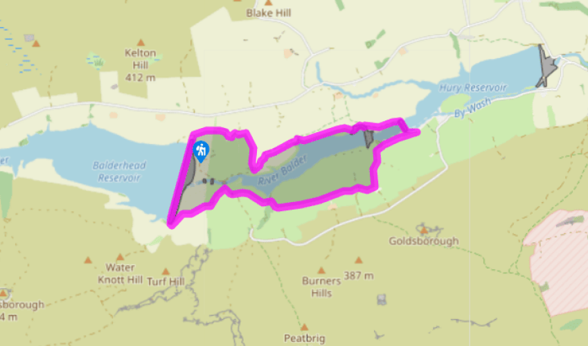
Head across the dam. At the far end, turn sharp left on a gravel track down to the former Youth Hostel of Blackton Grange. Through the yard, follow the ongoing grass track to a junction near Blackton Bridge. Turn right over Hunder Beck and climb through a gate along the Pennine Way.
A short distance along, at a three-way signpost beside the first bend, leave ahead on a path across the hillside. Criss a stile in the corner and bear left across two more pastures before reaching a footbridge over How Sike. Climb towards the far top corner of the next enclosure and walk on parallel to the wall on your right. Maintain the same heading from field to field, passing below West Friar House to reach East Friar House.

Been on this walk?
Send us photos or a comment about this route. Or recommend a route of your own.

Walking in Safety
Read our tips to look after yourself and the environment when following this walk.

Get an AA guide
Explore our range of ‘50 Walks in’ guides - they’re the ideal companion for a ramble.
Been on this walk?
Send us photos or a comment about this route. Or recommend a route of your own.
Walking in Safety
Read our tips to look after yourself and the environment when following this walk.
Get an AA guide
Explore our range of ‘50 Walks in’ guides - they’re the ideal companion for a ramble.
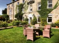
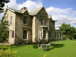
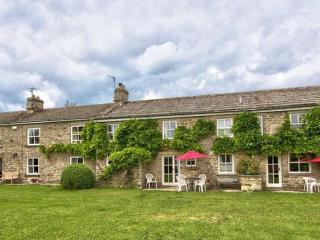
Nearby places to stay
View all (8)


- Total units: 1
- Private garden
- Lawn area
- Garden furniture