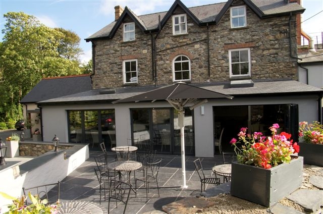


Fishguard Bay Resort
Set high up on cliffs with outstanding views of Fishguard Bay, this site has the Pembrokeshire…

A short, sharp and totally breathtaking circuit of a dramatic segregated headland.
Dinas Head
3 miles (4.8kms)
Dinas Island, or Dinas Head as it’s often known (Dinas Head is actually the headland at the island’s northern apex), isn’t actually an island at all. It’s a rugged, sloping peninsula that’s separated from the mainland by a shallow neck of flat marshy ground known as Cwm Dewi (‘David’s valley’). This was formed at the end of the last ice age when a glacier blocked the outlet of Newport Bay, forcing watercourses westwards, beneath the ice. The shales and sandstones of the headland were eroded into a narrow channel. Island or not, this is a wonderful place to walk, encapsulating everything that’s great about walking along a coast path for an hour or so’s effort. In springtime, there’s the added bonus of carpets of luscious bluebells in the woods.
The ruins of the tiny chapel of St Brynach dominate a pleasant green above the beach. Sheltered from the prevailing southwesterly winds that pound this stretch of coast, Cwm-yr-Eglwys (‘valley of the church’) often has the feel of a quaint Mediterranean hamlet, but on the night of 25 October 1859 it was subjected to one of the fiercest storms on record and the church was very badly knocked about. However, this was only a small part of the damage wreaked. That same fearful night, 114 ships were wrecked off the Welsh coast, with the loss of many lives. Another storm in 1979 all but completed the job of destruction – all that is left of the church today are the west wall and the tiny belfry. The saint to whom the chapel was dedicated probably came from Ireland where he would have been known as Bernach. According to the account of his life, written in the 12th century, he lived in the 6th century and visited both Rome and Brittany before arriving at what is now Milford Haven. He set about establishing various oratories in the area as well as a monastery at Nanhyfer, where he was to die. Along the way, he had many adventures, including being wounded by a spear but escaping with his life due to the timely intervention of his travelling companions. It’s said he went on to have a visitation from an angel and performed various miracles, thus ensuring his posthumous rise to sainthood.
From the car park, make your way to the beach and bear right and then immediately right again, through a gate, to gain a well-surfaced path that follows the floor of Cwm Dewi. This wheelchair-friendly track is very popular so you’ll probably meet other walkers as you pass the marshy ground to the right. These marshes are important breeding grounds for several butterflies, such as tortoiseshells, peacocks, common blues and orange-tips. The path leads to a gate that in turn leads you through a caravan site and into the Cwm-yr-Eglwys car park. Turn left in the car park and follow a narrow path, which heads out towards the beach.
Keep the ruins to your right and wander along the lane to a coast path waymarker on the right. Follow this steeply up steps to Aber Pig-y-Baw. The path emerges from the bushes and continues to cut easily around the hillside before steepening as it approaches the obvious sea stack of Needle Rock. Ignore the footpath off to the left before this. This is a fine nesting site for a variety of seabirds and it appears positively congested in late spring and early summer. Steps lead up the hillside to a gate from here and then the path continues to climb for over half a mile (800m) to the trig point that marks the top of the headland. This is a wonderfully lofty viewpoint and it is possible to scramble down a little way to the north if you fancy a sheltered rest stop.
The path now leads down above the western cliffs. Stay on the outside of the perimeter fence as it swings south again. Follow the coast down and wind your way through the gorse to a fork where you bear right (ignoring the yellow arrow pointing to the left) to the spur of Pen Castell. This tracks back inland again and drops to a gate above Pwllgwaelod Beach. From here you reach the road and can walk easily back past the Old Sailors restaurant to the beach and the car park.
Rough coastal path and a short section of easy, wheelchair-friendly track
Rugged cliffs with views over two sweeping bays
Care on cliff tops and around livestock
OS Explorer OL35 North Pembrokeshire
By The Old Sailors, Pwllgwaelod Beach
In car park at the start and in car park at Cwm-yr-Eglwys
Read our tips to look after yourself and the environment when following this walk.
Wales meets the Atlantic Ocean in spectacular fashion at Pembrokeshire. Unlike the West Country, Pembrokeshire can offer the coast without the crowds, and quaint fishing villages without those huge coach parks. Volcanic eruptions and earth movements have left a tortured rocky coastline of some 160 miles, whose beauty and drama have been recognised by National Park status.
Sometimes known as ‘Little England Beyond Wales’, the county has held a fascination for English visitors ever since the first Norman warlords forced their way in 800 years ago, leaving a string of 50 fine castles in their wake. The anonymous author of The Mabinogion, an 11th-century collection of Welsh folk legends, started it all. His description of the old Celtic kingdom of Dyfed (which encompasses Cardiganshire, Carmarthenshire and Pembrokeshire) as ‘the land of magic and enchantment’ was perhaps the earliest written attempt to sum up the outstanding natural beauty of this wonderful westernmost outpost of Wales. This is a county where you can take it easy on the sandy beaches, make sport out of those Atlantic waves, or discover the mysteries of St David’s or the ancient Preseli Hills.
Discover more than 15,000 professionally rated places to stay, eat and visit from across the UK and Ireland.
Choose a place to stay safe in the knowledge that it has been expertly assessed by trained assessors.
Search by location or the type of place you're visiting to find your next ideal holiday experience.
Read our articles, city guides and recommended things to do for inspiration. We're here to help you explore the UK.


