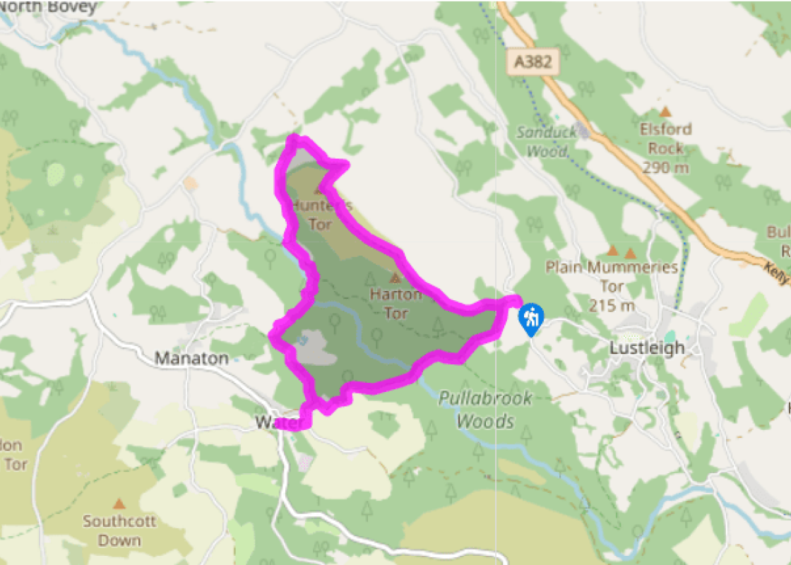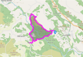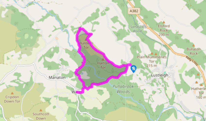
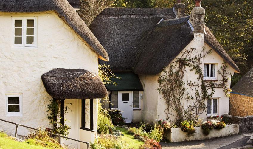
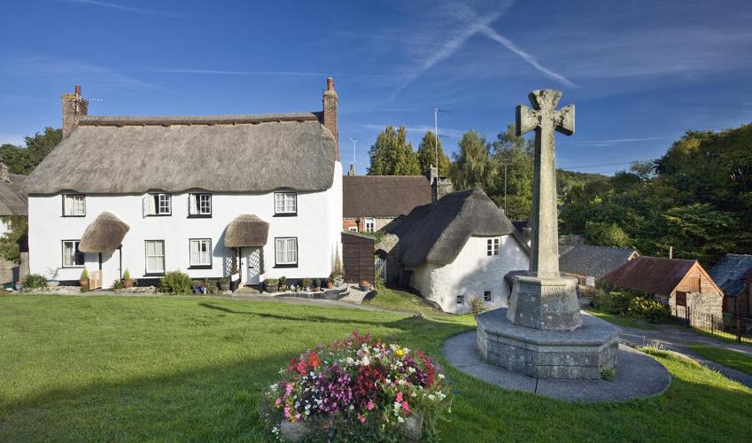
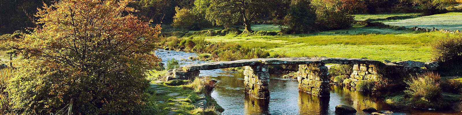
Around Lustleigh Cleave
Once parked walk north up the lane (away from Lustleigh) and turn left up a narrow rocky path between the houses ‘Logan Stones’ and ‘Grove’, following bridleway signs ‘Cleave for Water’. At the gate go straight ahead, signed ‘Hunters Tor’, and climb steeply up to the top, where there are lovely views towards Hound Tor.
Walk right through oak woodland; eventually you reach open ground and follow the path straight on over the highest part of the ridge (1,063ft/324m) and across the remains of the Iron Age fort to reach Hunter’s Tor.

Been on this walk?
Send us photos or a comment about this route. Or recommend a route of your own.

Walking in Safety
Read our tips to look after yourself and the environment when following this walk.

Get an AA guide
Explore our range of ‘50 Walks in’ guides - they’re the ideal companion for a ramble.
Been on this walk?
Send us photos or a comment about this route. Or recommend a route of your own.
Walking in Safety
Read our tips to look after yourself and the environment when following this walk.
Get an AA guide
Explore our range of ‘50 Walks in’ guides - they’re the ideal companion for a ramble.
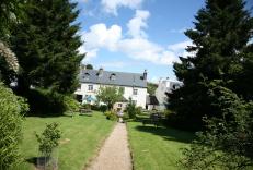
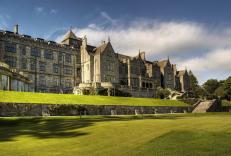
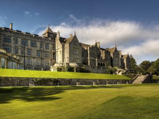
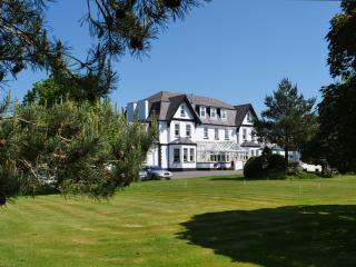
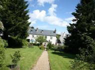
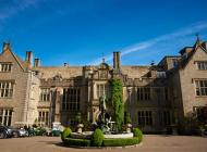
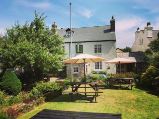
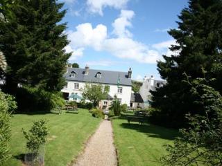
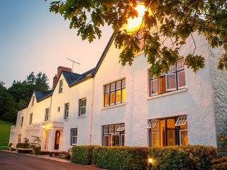
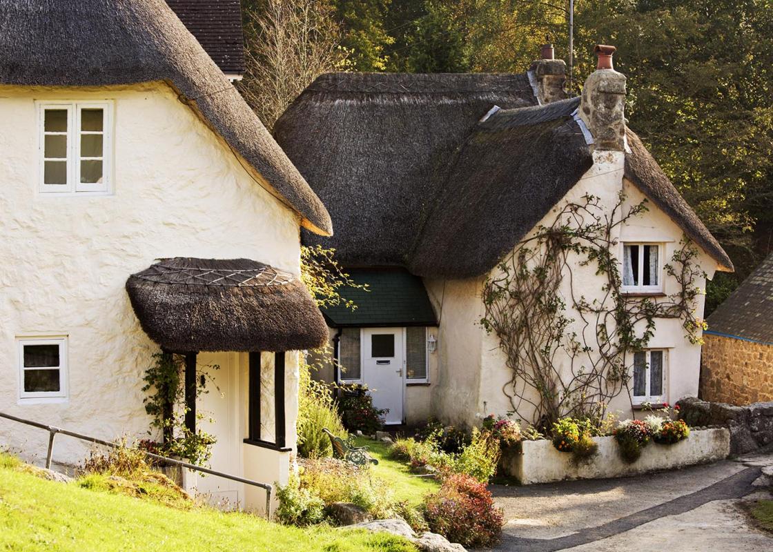
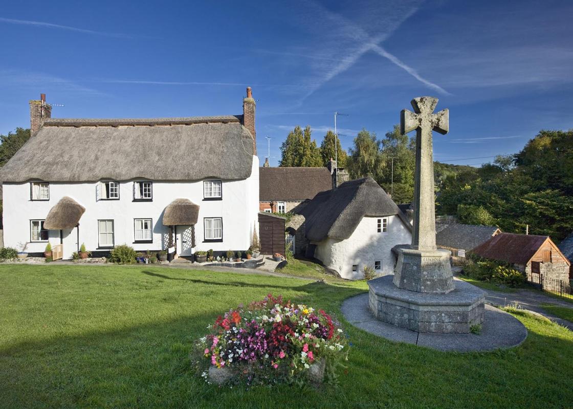
Nearby places to stay
View all (8)