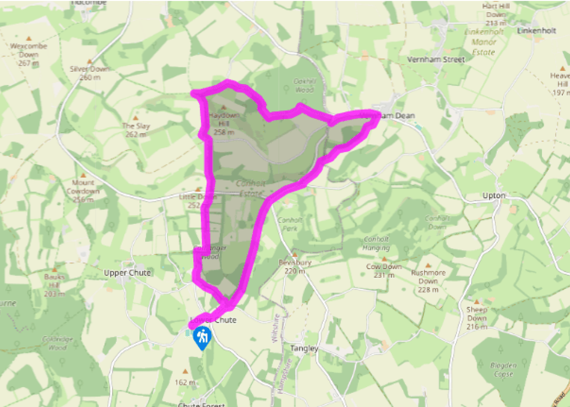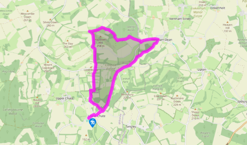
Around the Chutes
Turn left out of the car park and then right at the T-junction. Fork left at the war memorial, then turn left again by the 'Chute Cadley' village sign. Keep left and take the bridle path, a track, through the edge of woodland. Continue between hedgerows and descend into Chute Standen.
Turn right at the T-junction, then, where the lane swings left to Standen House, keep straight on up a grassy track of Breach Lane. At the T-junction, turn right and then left along the edge of woodland. Continue for 0.5 miles (800m) to Chute Causeway.

Been on this walk?
Send us photos or a comment about this route. Or recommend a route of your own.

Walking in Safety
Read our tips to look after yourself and the environment when following this walk.

Get an AA guide
Explore our range of ‘50 Walks in’ guides - they’re the ideal companion for a ramble.
Been on this walk?
Send us photos or a comment about this route. Or recommend a route of your own.
Walking in Safety
Read our tips to look after yourself and the environment when following this walk.
Get an AA guide
Explore our range of ‘50 Walks in’ guides - they’re the ideal companion for a ramble.

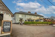
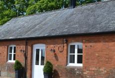
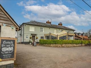
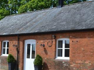
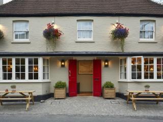
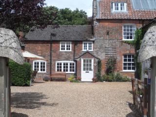
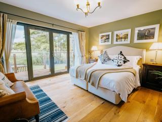
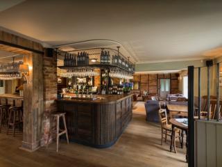
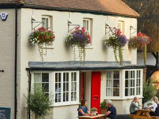
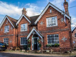
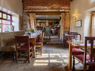
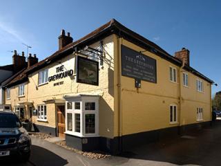
Nearby places to stay
View all (8)