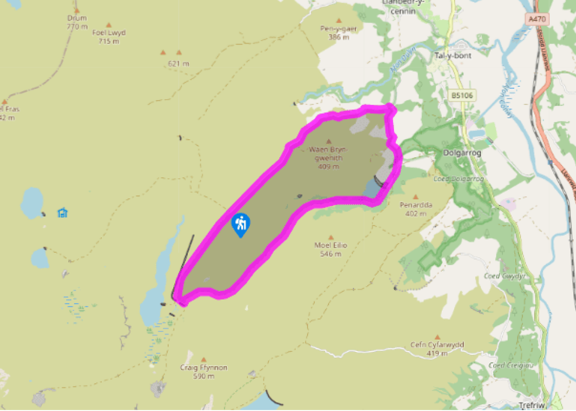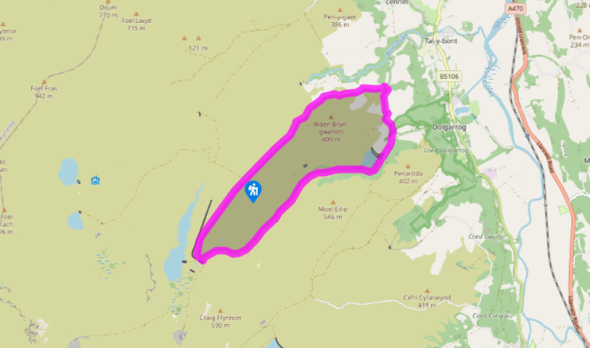
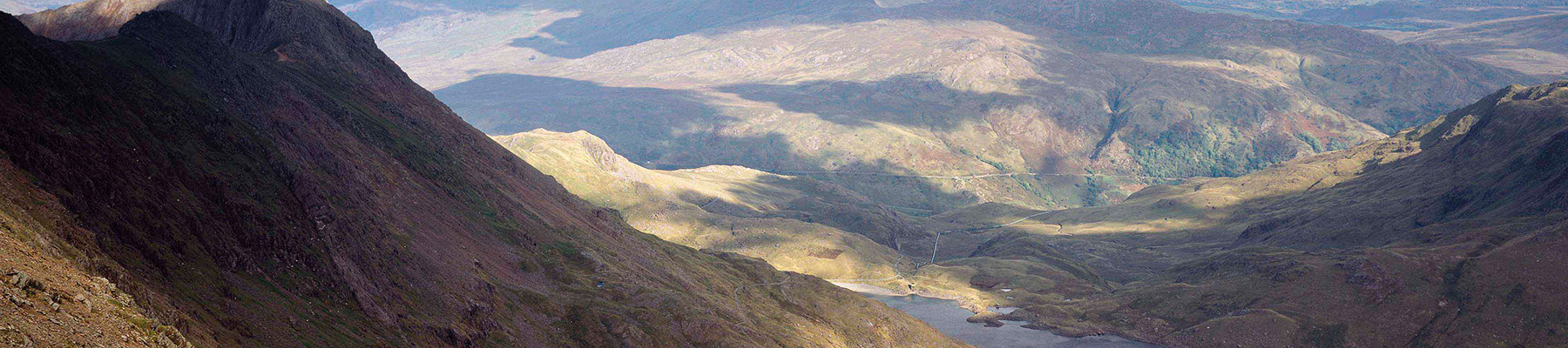
Between the reservoirs above Dolgarrog
Recommended by

Walk directions
Follow the track heading roughly southwest from the car park into the jaws of Eigiau. This turns left below the main dam and goes over a bridge across the reservoir’s outflow stream.
Turn left along the greener track that runs above and parallel to the river, ignoring the path ahead beneath Eilio. The gated track passes Coedty Reservoir and then leads to a country lane by the dam.
View all directions
Additional information
Terrain
- Tracks and country lanes, several stiles
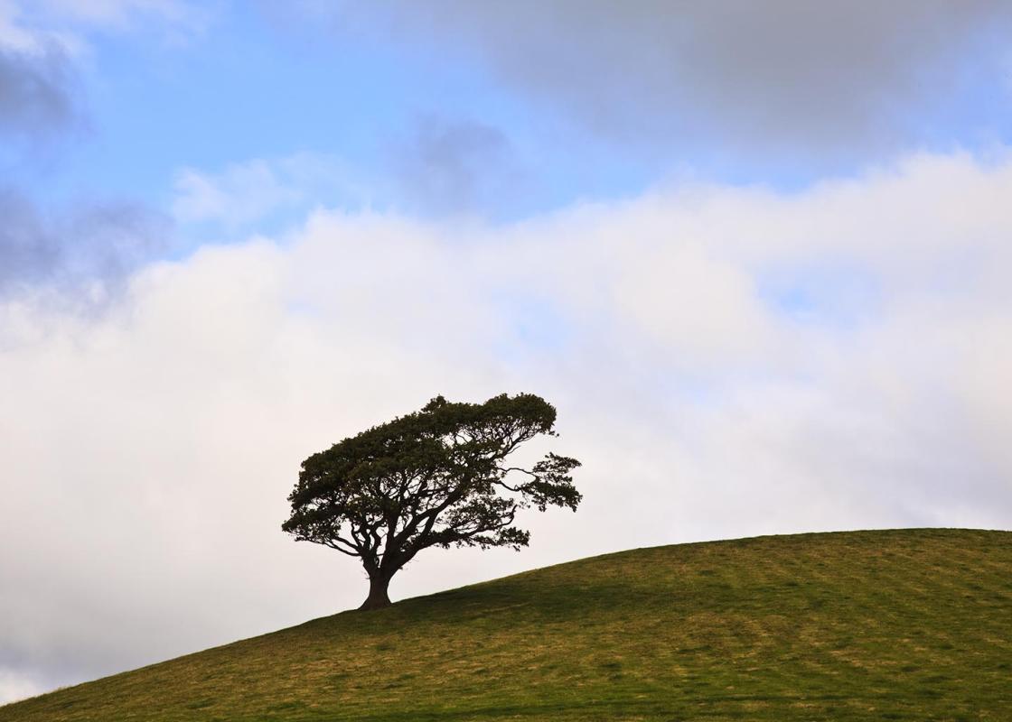
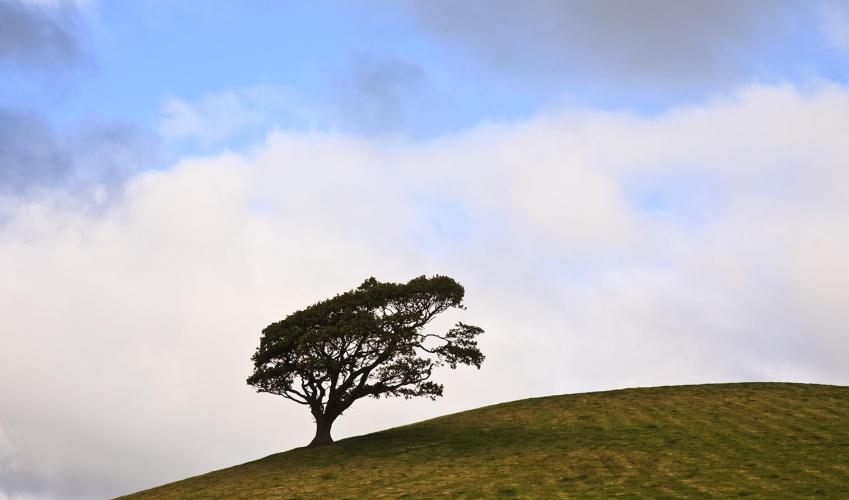
Landscape
- Uncultivated moor, rough pasture and crag
Dog friendliness
- Dogs should be on leads
Parking
- Parking area at the end of the road
Toilets en route
- None on route
About the walk
It was an ordinary Saturday evening in Dolgarrog, it had been raining hard for a few days, but in November that’s not so unusual. Disaster in the hills In the hills something was wrong. In the dark of night there were tremors in the ground and groans coming from the deep hollow of Eigiau. The...
Read more

Been on this walk?
Send us photos or a comment about this route. Or recommend a route of your own.

Walking in Safety
Read our tips to look after yourself and the environment when following this walk.

Get an AA guide
Explore our range of ‘50 Walks in’ guides - they’re the ideal companion for a ramble.
Been on this walk?
Send us photos or a comment about this route. Or recommend a route of your own.
Walking in Safety
Read our tips to look after yourself and the environment when following this walk.
Get an AA guide
Explore our range of ‘50 Walks in’ guides - they’re the ideal companion for a ramble.
About the area
The majority of the population of Conwy lives along its picturesque coastline, while a third of the county falls within jaw-dropping landscape of the Snowdonia National Park. The town of Conwy, which takes its name from the county (which in turn was named after the river that runs through it), is undoubtedly one of the great treasures of Wales.
Nearby places to stay
View all (8)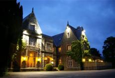

Caravan & Camping
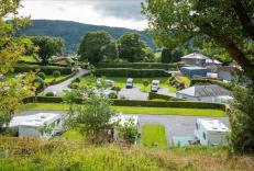
Bron Derw Touring Caravan Park
- Launderette
- Picnic Area
- Wifi available
- Battery Charging

Nearby places to stay
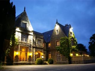
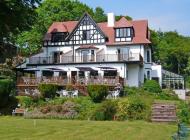
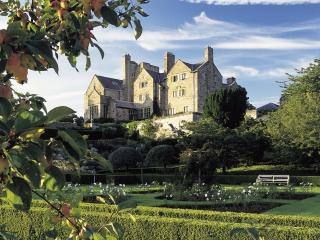
Maenan Abbey
Maenan Abbey is a small, personally-run country house in a great location in Eryri National Park. Visitors can enjoy the huge amount of local attractions, walking and outdoor activities...
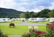
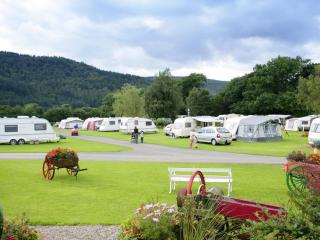
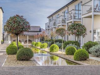
Bron Derw Touring Caravan Park
Bron Derw, once a dairy farm, is beautifully landscaped with stunning floral displays and is surrounded by hills. The park has been built to a very high standard and is fully matured. A...
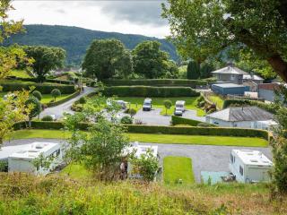
Bodnant Caravan Park
This well maintained and stunningly attractive park is filled with flower beds, and the landscape includes trees and shrubberies. The statics are unobtrusively sited and the quality, sp...
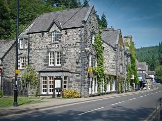
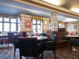
Royal Oak Hotel
Centrally situated in the village, the Royal Oak is an elegant, privately owned hotel that started life as a coaching inn and provides very comfortable bedrooms with smart, modern en su...
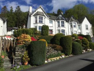
Bryn Bella Guest House
Located in an elevated position on the outskirts of the village, with stunning views of the surrounding countryside, this elegant Victorian house provides a range of thoughtfully equipp...
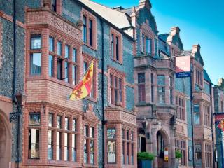
Castle Hotel Conwy
Castle Hotel is an iconic 16th-century building that offers a relaxed and friendly atmosphere. The hotel is well located on Conwy's High St, with rooms and a terrace that offers incredi...
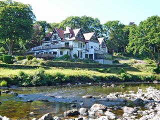
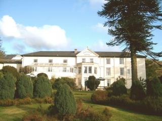
Craig-y-Dderwen Riverside Hotel
Craig-y-Dderwen Riverside Hotel is Victorian country house hotel in well-maintained grounds alongside the River Conwy, at the end of a tree-lined drive. Views down the river can be enjo...
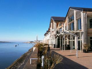
Quay Hotel & Spa
This luxury hotel occupies a stunning position beside the estuary on Deganwy Quay overlooking Conwy Castle and Snowdonia. Sleek, contemporary design runs through all aspects here. Spaci...
Places to eat nearby View all