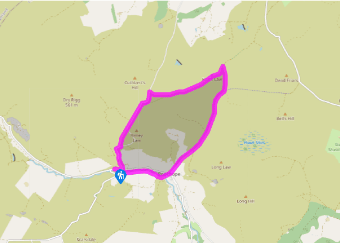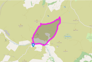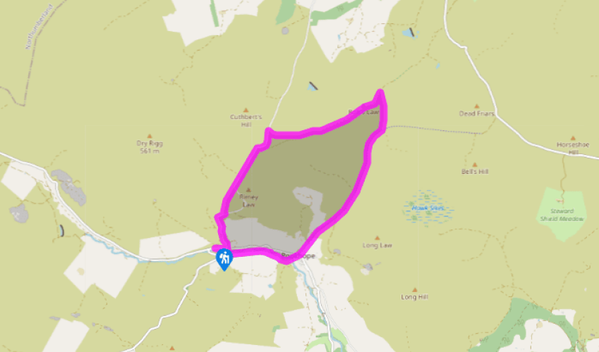
Boltslaw Incline
Walk towards Rookhope, leaving at a stile on the right opposite the Blanchland road. Cross a footbridge and climb to a stile on the left from which a path follows the course of an old railway from the ironstone quarries at the head of the valley. Carry on past cottages, ultimately emerging in a yard by an auto-workshop. Go left across Rookhope Burn into the village.
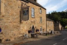
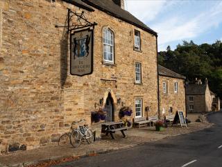
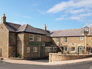
Turn right to pass the Rookhope Inn. At the bend, leave left on a gravel track signed as NCR 7 to Waskerley. Keep right at successive forks, but after going through a gate, ignore a track off right and settle into a steady plod up the Boltslaw Incline.

Been on this walk?
Send us photos or a comment about this route. Or recommend a route of your own.

Walking in Safety
Read our tips to look after yourself and the environment when following this walk.

Get an AA guide
Explore our range of ‘50 Walks in’ guides - they’re the ideal companion for a ramble.
Been on this walk?
Send us photos or a comment about this route. Or recommend a route of your own.
Walking in Safety
Read our tips to look after yourself and the environment when following this walk.
Get an AA guide
Explore our range of ‘50 Walks in’ guides - they’re the ideal companion for a ramble.
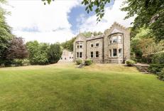
Nearby places to stay
View all (8)