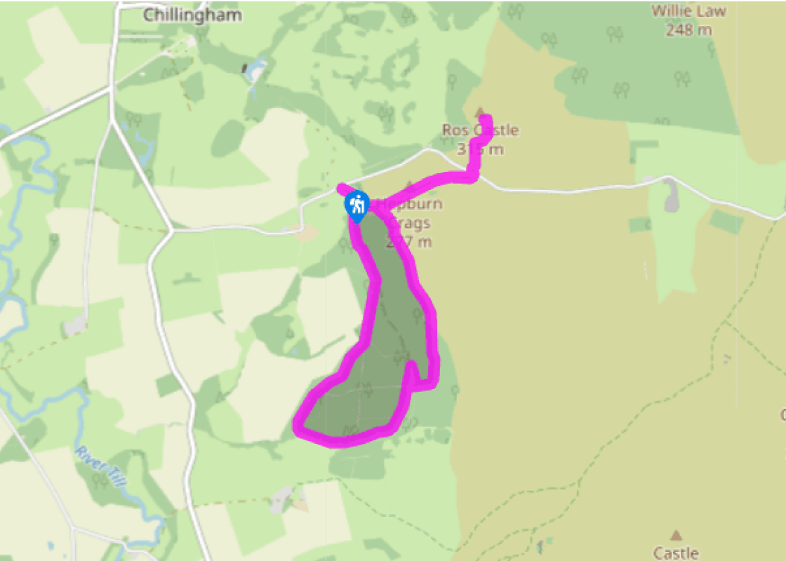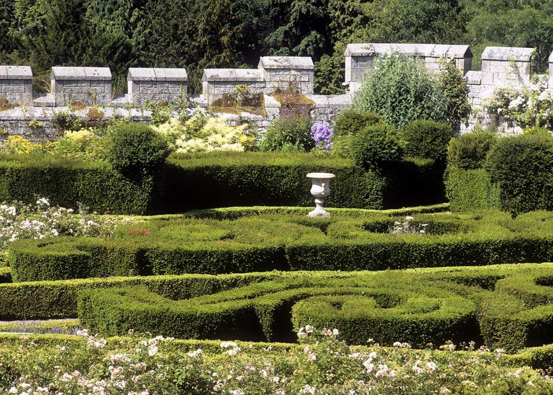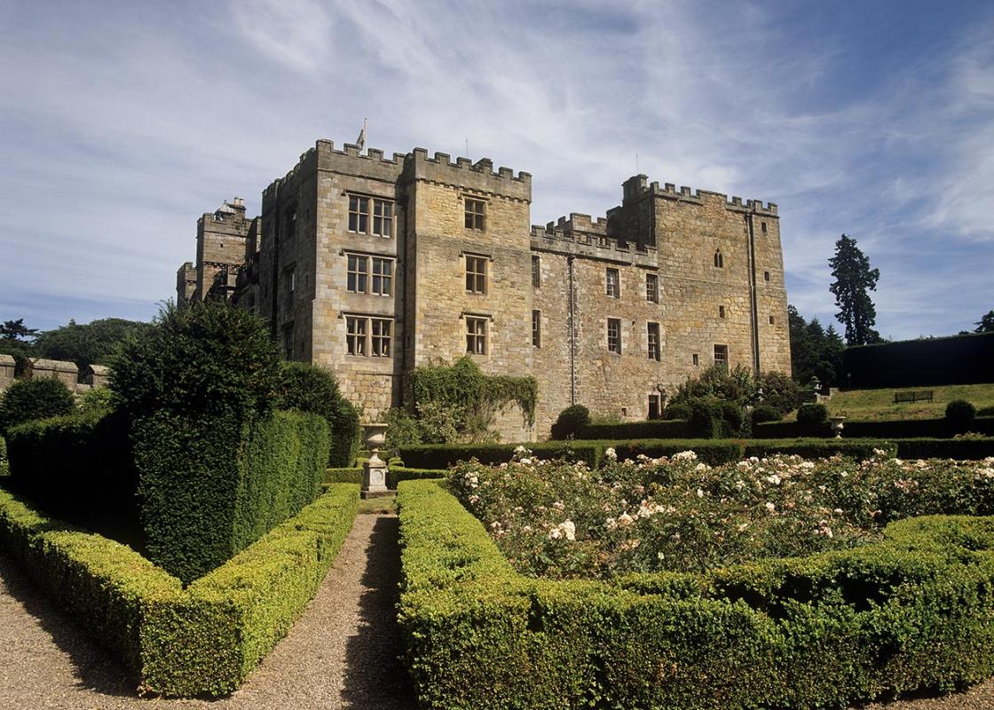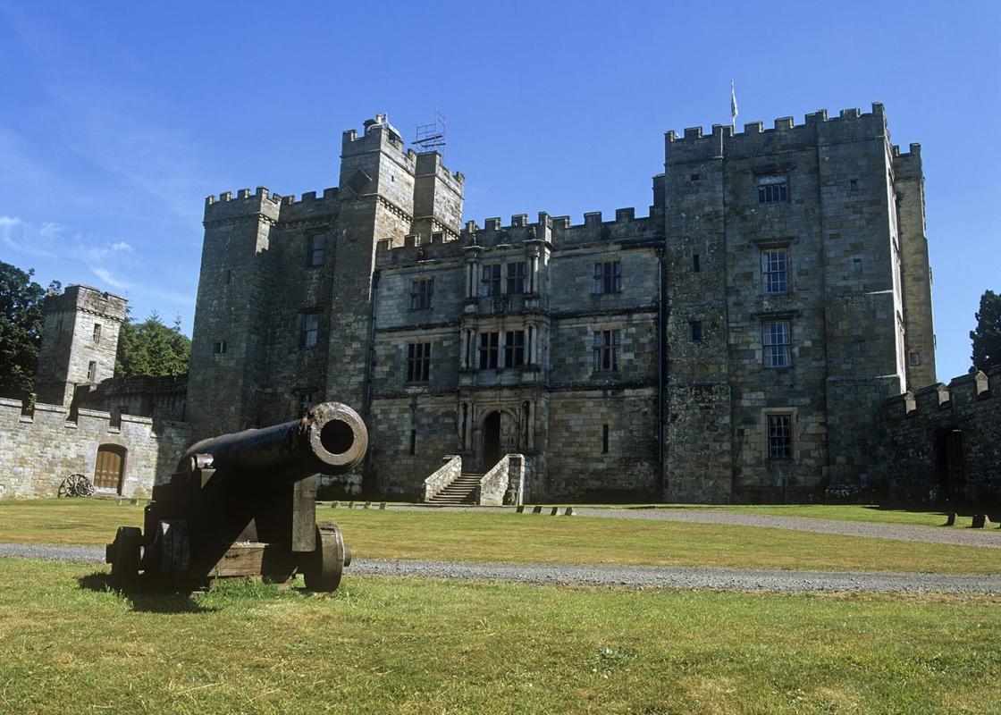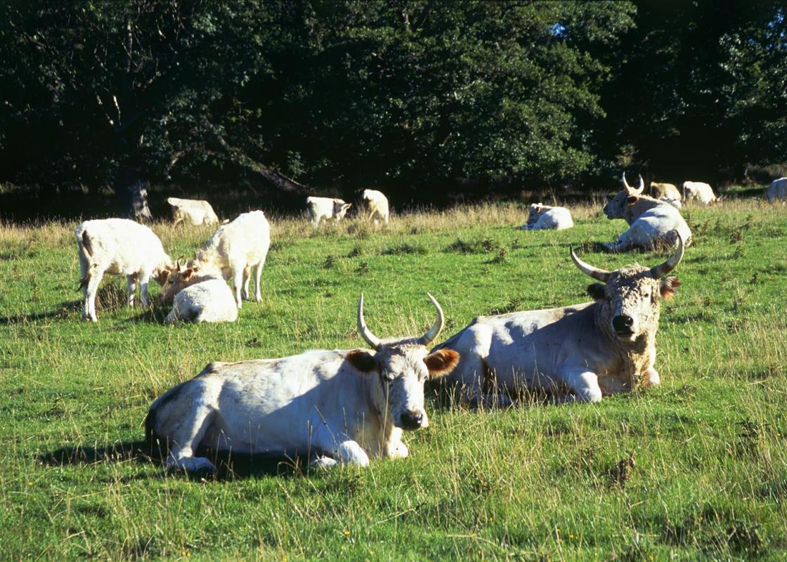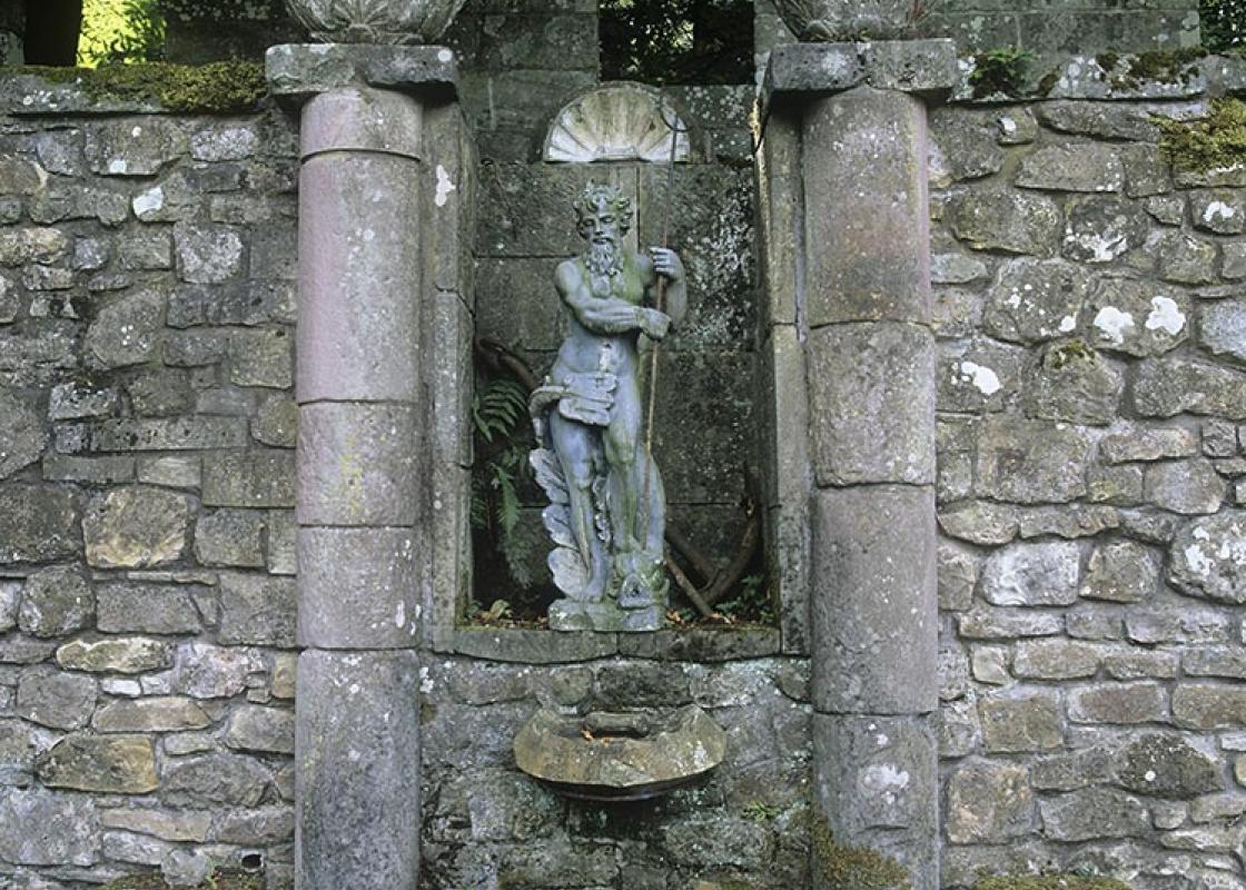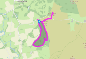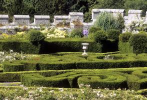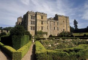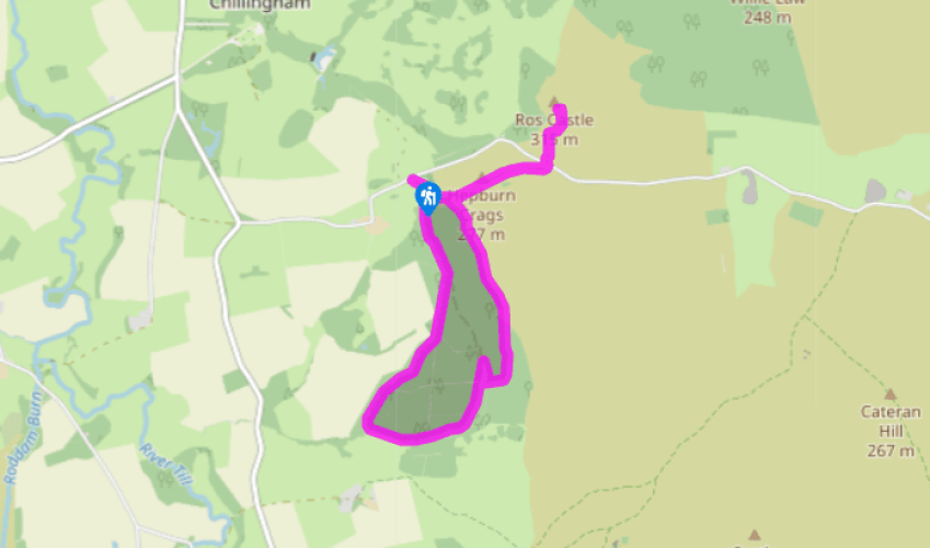
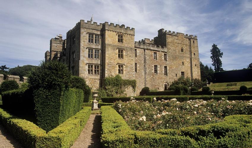
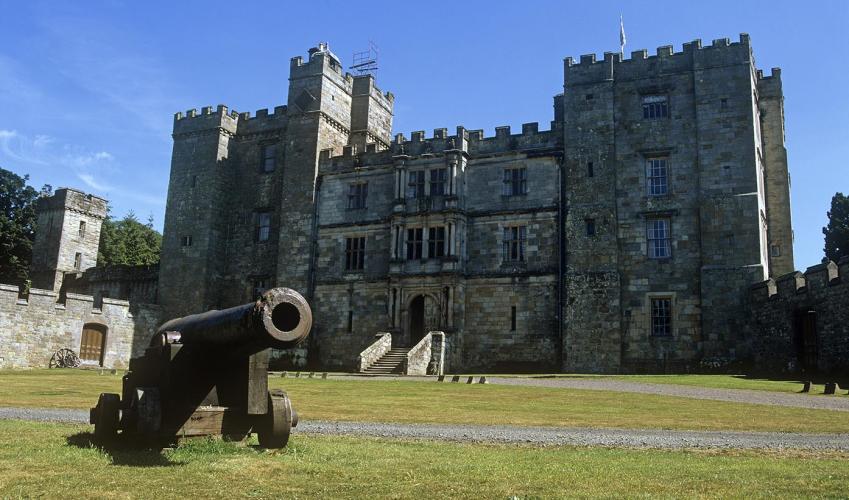
Chillingham Park
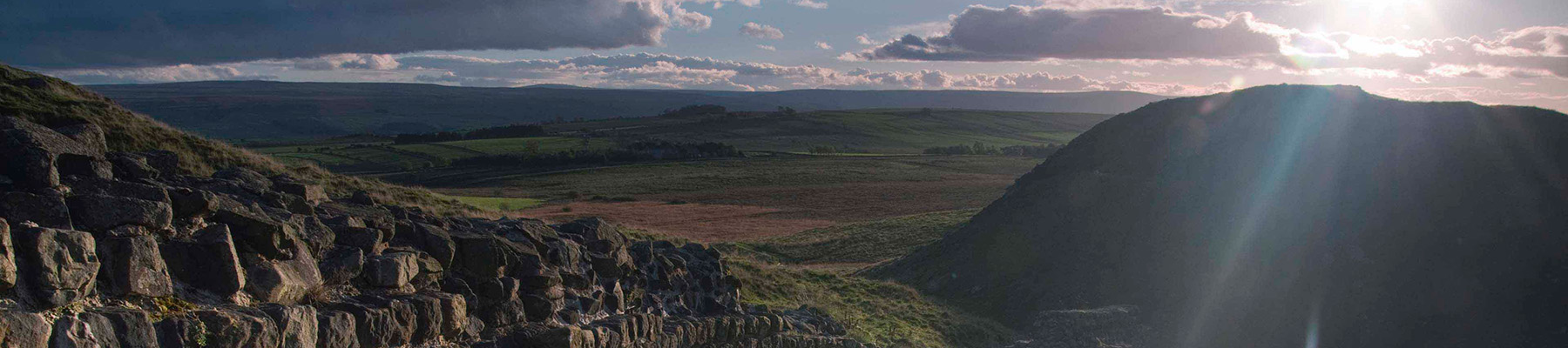
Begin along a track from the far end of the car park. Some 25yds (23m) beyond a barrier, abandon it for an unmarked path on the left. It climbs sharply through the forest to a ladder stile below Hepburn Crags. Bear slightly right and pick your way up between the boulders. The going is steep and occasionally a simple clamber, although care is required when it is wet or icy. Above the boulders, continue across sloping heath, from which there is a view to the ruined bastle, or fortified farmhouse, by the car park.
Pass through a breach in the embankment (part of an Iron Age fort sited on the hill) to a waymarked fork. Branch left to follow a clear path across the heather towards Ros Castle, the prominent hill rising on the skyline. Eventually joining a path from the right, walk on to meet a lane.

Been on this walk?
Send us photos or a comment about this route. Or recommend a route of your own.

Walking in Safety
Read our tips to look after yourself and the environment when following this walk.

Get an AA guide
Explore our range of ‘50 Walks in’ guides - they’re the ideal companion for a ramble.
Been on this walk?
Send us photos or a comment about this route. Or recommend a route of your own.
Walking in Safety
Read our tips to look after yourself and the environment when following this walk.
Get an AA guide
Explore our range of ‘50 Walks in’ guides - they’re the ideal companion for a ramble.
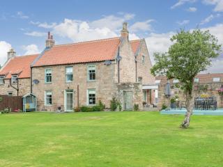
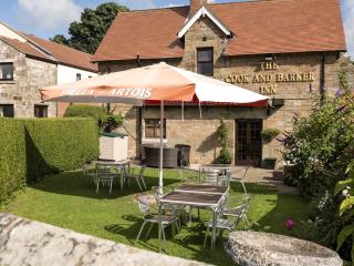
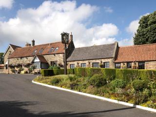
Nearby places to stay
View all (8)