Classic Cuckfield
Recommended by

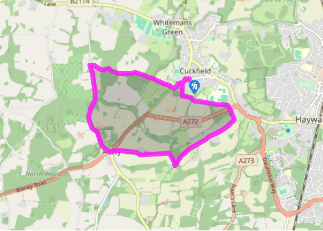
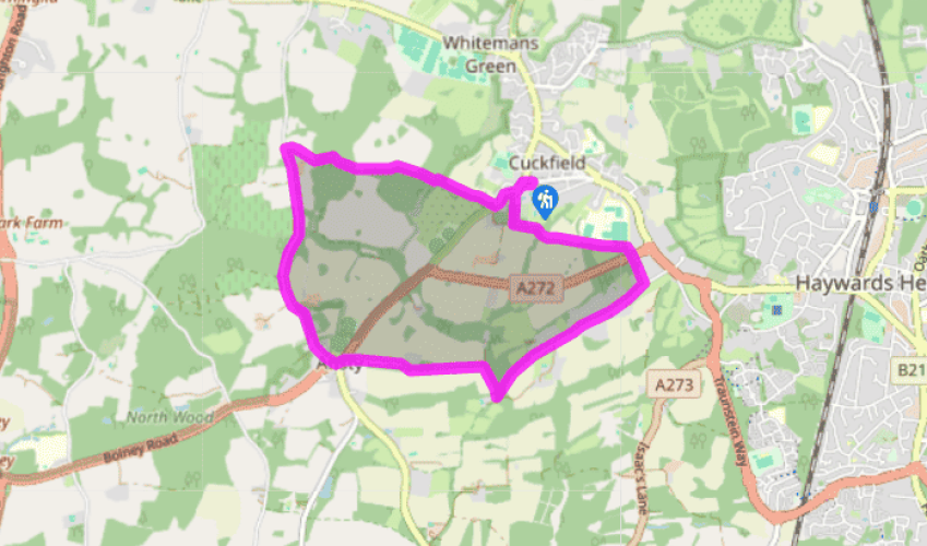
"This lovely walk heads across country to sprawling Cuckfield Park, offering far-reaching views southwards to the ridge of the South Downs."
Walk directions
First leave the car park by turning left into Broad Street. Bear left again at the mini-roundabout and walk down to turn left into Church Street. Make for the lychgate by the parish church and enter the churchyard. Head for a kissing gate on the far side of the church, turn left and follow the track.
Pass Newbury Pond and keep ahead along the field boundary on the left before entering woodland. Carry on ahead to reach a signposted junction in front of some houses, and turn right. Follow the path on down to the busy A272, cross over to a stile and then follow the path through the trees. Turn right on reaching Copyhold Lane, later ignoring a left fork going to Copyhold House.
View all directions
Additional information
Terrain
- Field, woodland and parkland paths, minor roads, several stiles
Landscape
- Rolling farmland, attractive parkland and woodland
Dog friendliness
- Enclosed paths and tracks suitable for dogs off lead; on lead on farmland and busy roads
Parking
- Car park in Broad Street, Cuckfield – check car park signs for where to buy a disc (usually various shops on High Street)
Toilets en route
- At car park
About the walk
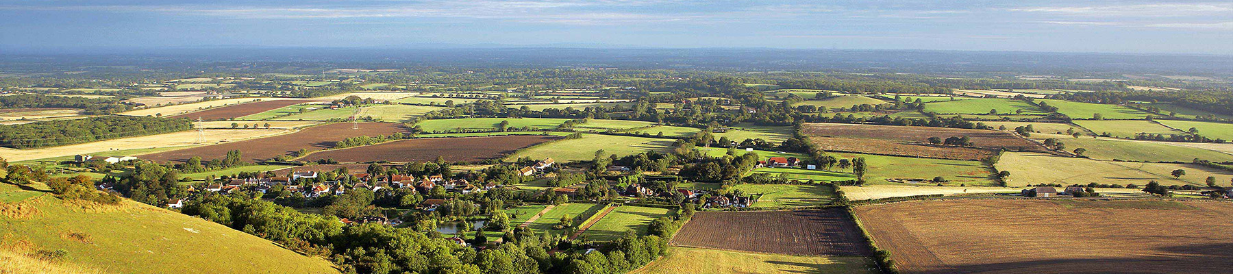
Standing 400ft (122m) above sea level, in the shadow of Haywards Heath, Cuckfield is one of those fortunate places that has largely escaped the threat of urban development, retaining its charm and character. It is generally thought of as a village, and yet it has the feel of a classic country town...
Read more

Been on this walk?
Send us photos or a comment about this route. Or recommend a route of your own.

Walking in Safety
Read our tips to look after yourself and the environment when following this walk.

Get an AA guide
Explore our range of ‘50 Walks in’ guides - they’re the ideal companion for a ramble.
Been on this walk?
Send us photos or a comment about this route. Or recommend a route of your own.
Walking in Safety
Read our tips to look after yourself and the environment when following this walk.
Get an AA guide
Explore our range of ‘50 Walks in’ guides - they’re the ideal companion for a ramble.
About the area
Divided from East Sussex back in 1888, West Sussex has a variety of landscapes and coastal scenery, but it is the spacious and open South Downs with which the county is most closely associated. There are plenty of walking routes in the South Downs National Park, cycling routes by the sea or visitors can explore the pretty town of Arundel with its historic castle and buildings.
Nearby places to stay
View all (8)


Nearby places to stay
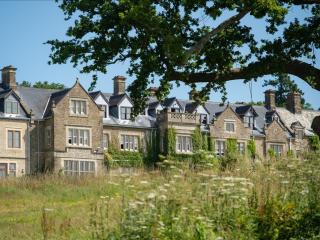
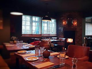
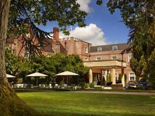
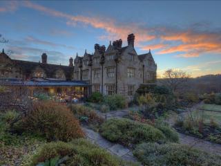
South Lodge
Escape the everyday at South Lodge, a country house set within 93 acres of Sussex countryside, where guests can explore features like a wildflower meadow, vineyard, hidden rockery, and ...

Bull, Ditchling
Dating back to 1563, The Bull is one of the oldest buildings in this famously pretty Sussex village. First used as an overnight resting place for travelling monks, the inn has also serv...
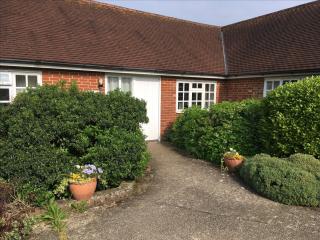
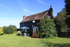
Newells Farm Holiday Cottages
Three comfortable holiday cottages on a 650-acre arable and woodland farm. Adjoining properties, Old Dairy and Little Barn, each sleeping six guests (plus there’s a cot), are located in...
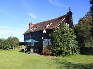
Little Barn Cottage
Awaiting description...
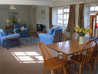
Black Cottage
Awaiting description...
Old Dairy Cottage
Awaiting description...
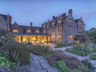
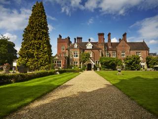
Gravetye Manor Hotel
Gravetye Manor is a beautiful Elizabethan mansion, built in 1598 and enjoying a tranquil setting. One of the first country house hotels in Britain, it remains an excellent example of it...
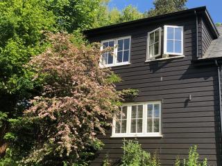
The Nest
The Nest is a beautifully designed, self-contained holiday cottage with a private garden and wonderful uninterrupted views to the woodland beyond. Ideally situated off a quiet country l...
Places to eat nearby View all