Additional information
Terrain
- <p>Shingle beach, saltmarsh and field tracks</p>
Landscape
- <p>Coastal marsh and farmland</p>
Dog friendliness
- <p>Dogs under control</p>
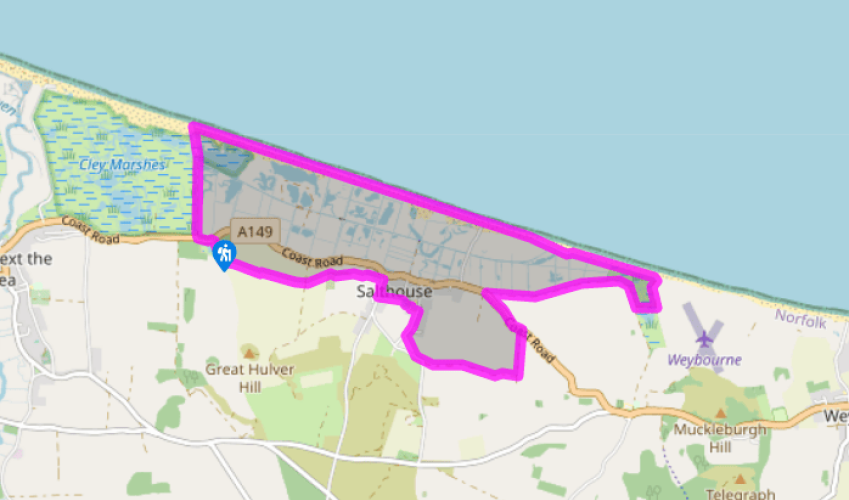
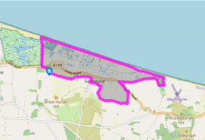
Parking
- <p>Small car park beside A149, 0.25 mile (400m) east of Cley Marsh NWT Visitor Centre. It can be busy at weekends, but there are other roadside parking opportunities across the road and at Salthouse.</p>
Toilets en route
- <p>None on route</p>
About the walk
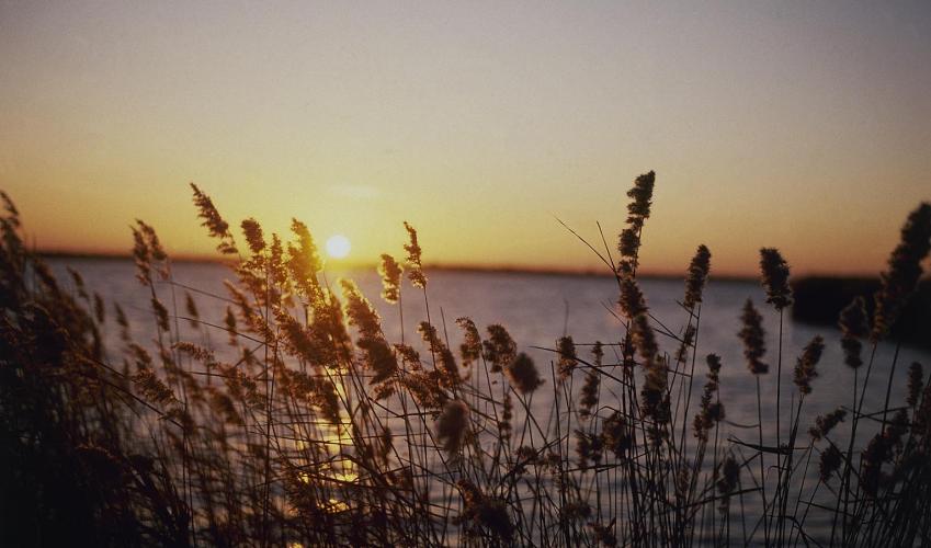
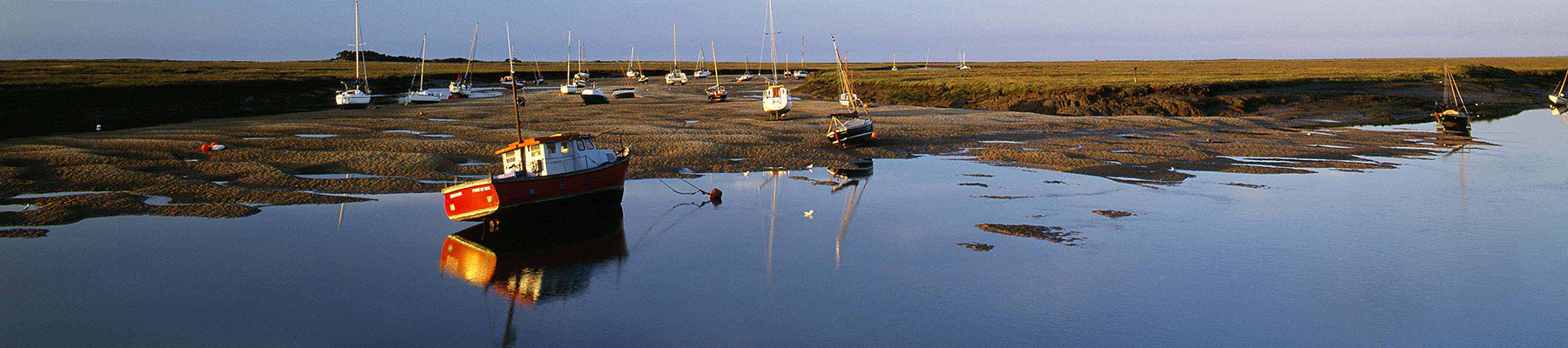
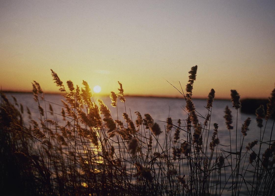
The walk begins along the edge of Cley Marsh, the first reserve to be established by the then newly formed Norfolk Naturalists' Trust in 1926. The idea had stemmed from Charles Rothschild, a banker and keen entomologist, who had a vision of saving the country's natural habitats, which even then was... rapidly disappearing. Although conservation was not enshrined in law until the National Parks and Access to the Countryside Act was passed in 1949, the formation of local societies led the way. They were the forerunners of today's wildlife trusts, of which there are now 47 encompassing the whole of the country. Prior to the mid-16th century, much of Norfolk's northern coast was an extensive salt marsh, set behind a long shingle bank and inundated by the twice-daily tides. Villages such as Cley and Salthouse were then busy ports and fishing harbours, accessing the open sea along winding channels. But everything changed when agricultural pioneers began raising embankments to claim the land for grazing. As a result, the inlets began to silt up and, becoming increasingly cut off from the sea, the ports declined. But the defences were vulnerable to storms and, instead of sweet grazing, the coastal strip was left a mosaic of salt and freshwater marsh, dotted with pools and reed beds and bordered by sand and shingle banks. Environmentally, such sites are rare today and attract countless resident and migrant birds as well as supporting a wide range of plant and invertebrate species, many not found elsewhere. Local wildlife Among the birds to look out for are brent geese, avocets, lapwings, Cetti's warblers, and various species of duck. Predators include marsh harriers and barn owls. Bird numbers can be prolific at any time of the year, with migrants passing in spring and autumn, while others come to breed during the summer or overwinter on the rich feeding provided by the marshes. Despite the seemingly harsh conditions of bare shingle and occasional inundation by the sea, many species of plant have become established. Sprouting between the embankment pebbles the yellow horned poppy is a common sight, as is sea campion and biting stonecrop. Around the fringes of the salt pools are glasswort, sea aster and sea lavender, while the water is home to the rare starlet sea anemone and the lagoon sand shrimp. Salthouse and its church Graffiti in the choir stalls of St Nicholas' Church, which sits on a bump of higher ground above Salthouse, is a reminder of the village's maritime importance during the medieval period. Masted sailing ships and fishing dinghies, perhaps scratched by children when the church was used as a school, illustrate the vessels that docked at the port. Fishing was then an important industry, the catch preserved in salt obtained by boiling seawater in large clay pots, a local industry that gave the village its name. Placed around the church are fragments of a lovely rood screen, which was erected in 1513 and painted with figures representing the Apostles. It was pulled down and the panels defaced during the Reformation, but enough remains to hint at its former beauty.
Read more